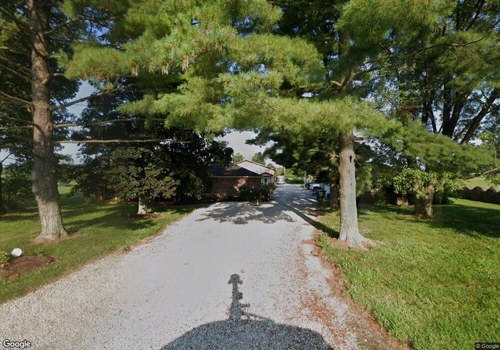
1480 S Morgantown Rd Morgantown, IN 46160
Estimated Value: $307,000 - $380,020
2
Beds
2
Baths
1,631
Sq Ft
$217/Sq Ft
Est. Value
About This Home
This home is located at 1480 S Morgantown Rd, Morgantown, IN 46160 and is currently estimated at $354,340, approximately $217 per square foot. 1480 S Morgantown Rd is a home located in Morgan County with nearby schools including Indian Creek Elementary School, Indian Creek Intermediate School, and Indian Creek Middle School.
Ownership History
Date
Name
Owned For
Owner Type
Purchase Details
Closed on
Jun 8, 2009
Sold by
Beaver Charles W
Bought by
Beaver Charles W and Beaver Briean R
Current Estimated Value
Home Financials for this Owner
Home Financials are based on the most recent Mortgage that was taken out on this home.
Original Mortgage
$103,800
Outstanding Balance
$65,794
Interest Rate
4.83%
Mortgage Type
New Conventional
Estimated Equity
$288,546
Create a Home Valuation Report for This Property
The Home Valuation Report is an in-depth analysis detailing your home's value as well as a comparison with similar homes in the area
Home Values in the Area
Average Home Value in this Area
Purchase History
| Date | Buyer | Sale Price | Title Company |
|---|---|---|---|
| Beaver Charles W | -- | None Available |
Source: Public Records
Mortgage History
| Date | Status | Borrower | Loan Amount |
|---|---|---|---|
| Open | Beaver Charles W | $103,800 |
Source: Public Records
Tax History Compared to Growth
Tax History
| Year | Tax Paid | Tax Assessment Tax Assessment Total Assessment is a certain percentage of the fair market value that is determined by local assessors to be the total taxable value of land and additions on the property. | Land | Improvement |
|---|---|---|---|---|
| 2024 | $2,295 | $322,300 | $105,100 | $217,200 |
| 2023 | $2,207 | $362,600 | $105,100 | $257,500 |
| 2022 | $2,039 | $327,900 | $94,900 | $233,000 |
| 2021 | $1,393 | $247,300 | $55,400 | $191,900 |
| 2020 | $1,212 | $237,100 | $55,400 | $181,700 |
| 2019 | $903 | $179,100 | $55,400 | $123,700 |
| 2018 | $803 | $165,600 | $54,800 | $110,800 |
| 2017 | $809 | $163,200 | $54,800 | $108,400 |
| 2016 | $753 | $149,900 | $51,800 | $98,100 |
| 2014 | $473 | $132,600 | $51,800 | $80,800 |
| 2013 | $473 | $129,400 | $51,800 | $77,600 |
Source: Public Records
Map
Nearby Homes
- 9018 E Gayle Dr
- 9025 E Gayle Dr
- 9113 E Gayle Dr
- 2634 S Oscar Ct
- 2679 S Gayle Dr
- 9231 E Poynter Dr
- 2789 S Conservation Club Rd
- 3016 S Conservation Club Rd
- 0 Banta Rd Unit MBR21966792
- 8577 State Road 44
- 901 Carter Rd
- 550 N Highland St
- 390 E Sycamore St
- 210 Evergreen St
- 310 N Highland St
- 259 N Pine St
- 3660 S Conservation Club Rd
- 0 E South R 252
- 279 Arnold St
- 190 County Line Rd
- 1507 S Morgantown Rd
- 1521 S Morgantown Rd
- 1493 S Morgantown Rd
- 1469 S Morgantown Rd
- 1560 S Morgantown Rd
- 1547 S Morgantown Rd
- 1425 S Morgantown Rd
- 1364 S Morgantown Rd
- 1650 S Morgantown Rd
- 1322 S Morgantown Rd
- 8522 E Morgantown Dr
- 1564 S Morgantown Rd
- 1608 S Morgantown Rd
- 1608 S Morgantown Rd
- 8614 E Morgantown Dr
- 1705 S Morgantown Rd
- 8698 E Morgantown Dr
- 1787 S Morgantown Rd
- 797 S Tall Oaks Dr E
- 971 S Morgantown Rd