14800 Foremost Farm Ln Spotsylvania, VA 22551
Margo NeighborhoodEstimated Value: $308,000 - $398,051
4
Beds
2
Baths
1,944
Sq Ft
$189/Sq Ft
Est. Value
About This Home
This home is located at 14800 Foremost Farm Ln, Spotsylvania, VA 22551 and is currently estimated at $366,513, approximately $188 per square foot. 14800 Foremost Farm Ln is a home located in Spotsylvania County with nearby schools including Livingston Elementary School, Post Oak Middle School, and Spotsylvania High School.
Ownership History
Date
Name
Owned For
Owner Type
Purchase Details
Closed on
Mar 21, 2000
Sold by
Eastern Va Land Co Inc
Bought by
Ellis Joey K
Current Estimated Value
Home Financials for this Owner
Home Financials are based on the most recent Mortgage that was taken out on this home.
Original Mortgage
$31,000
Outstanding Balance
$10,468
Interest Rate
8.24%
Estimated Equity
$356,045
Create a Home Valuation Report for This Property
The Home Valuation Report is an in-depth analysis detailing your home's value as well as a comparison with similar homes in the area
Home Values in the Area
Average Home Value in this Area
Purchase History
| Date | Buyer | Sale Price | Title Company |
|---|---|---|---|
| Ellis Joey K | $39,000 | -- |
Source: Public Records
Mortgage History
| Date | Status | Borrower | Loan Amount |
|---|---|---|---|
| Open | Ellis Joey K | $31,000 |
Source: Public Records
Tax History Compared to Growth
Tax History
| Year | Tax Paid | Tax Assessment Tax Assessment Total Assessment is a certain percentage of the fair market value that is determined by local assessors to be the total taxable value of land and additions on the property. | Land | Improvement |
|---|---|---|---|---|
| 2025 | $1,776 | $241,900 | $79,500 | $162,400 |
| 2024 | $1,776 | $241,900 | $79,500 | $162,400 |
| 2023 | $1,550 | $200,900 | $67,500 | $133,400 |
| 2022 | $1,482 | $200,900 | $67,500 | $133,400 |
| 2021 | $1,336 | $165,000 | $47,100 | $117,900 |
| 2020 | $1,336 | $165,000 | $47,100 | $117,900 |
| 2019 | $1,324 | $156,200 | $43,500 | $112,700 |
| 2018 | $1,301 | $156,200 | $43,500 | $112,700 |
| 2017 | $1,333 | $156,800 | $43,500 | $113,300 |
| 2016 | $1,322 | $156,800 | $43,500 | $113,300 |
| 2015 | $1,205 | $155,400 | $43,500 | $111,900 |
| 2014 | $1,205 | $155,400 | $43,500 | $111,900 |
Source: Public Records
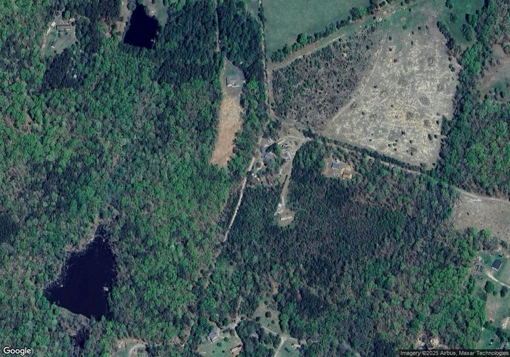
Map
Nearby Homes
- 0 Tatum Rd Unit VAOR2012338
- 0 Tatum Rd Unit VAOR2012374
- 0 Tatum Rd Unit VAOR2012342
- 0 Tatum Rd Unit VAOR2012344
- 0 Tatum Rd Unit VAOR2012378
- 0 Tatum Rd Unit VAOR2012340
- 0 Tatum Rd Unit VAOR2012346
- 0 W Dr Unit VASP2035350
- 9500 Jarrell Ln
- 9000 Fox Run Dr
- 0 Orchard St
- 12400 Orchard St
- 15281 Shirley Rd
- 0 St Just Rd Unit VAOR2012836
- 8410 Shirley Rd
- 14100 Cedar Plantation Rd
- 27520 Tatum Rd
- 11370 Woodland Dr
- 31055 Lumber Rd
- 27036 Tatum Rd
- 14730 Foremost Farm Ln
- 30142 Tatum Rd
- 14720 Foremost Farm Ln
- 0 Gary Wayne Way Unit OR9602740
- 9052 Lawyers Rd
- 30160 Tatum Rd
- 30140 Tatum Rd
- 9054 Lawyers Rd
- 30168 Tatum Rd
- 9050 Lawyers Rd
- 30076 Tatum Rd
- 9130 Lawyers Rd
- 30123 Tatum Rd
- 9216 Lawyers Rd
- 9100 Lawyers Rd
- 30062 Tatum Rd
- 9120 Lawyers Rd
- 9140 Lawyers Rd
- 9206 Lawyers Rd
- 9030 Lawyers Rd