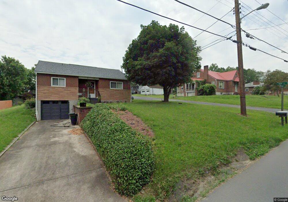
14801 Hay St Cumberland, MD 21502
Estimated Value: $142,959 - $185,000
--
Bed
1
Bath
1,260
Sq Ft
$132/Sq Ft
Est. Value
About This Home
This home is located at 14801 Hay St, Cumberland, MD 21502 and is currently estimated at $166,490, approximately $132 per square foot. 14801 Hay St is a home located in Allegany County with nearby schools including Cresaptown Elementary School, Braddock Middle School, and Allegany High School.
Ownership History
Date
Name
Owned For
Owner Type
Purchase Details
Closed on
Mar 15, 2007
Sold by
Blank Keith R
Bought by
Blank Keith
Current Estimated Value
Home Financials for this Owner
Home Financials are based on the most recent Mortgage that was taken out on this home.
Original Mortgage
$111,600
Outstanding Balance
$82,889
Interest Rate
10.95%
Mortgage Type
Stand Alone Second
Estimated Equity
$83,601
Purchase Details
Closed on
Jun 14, 2005
Sold by
Blank Keith R
Bought by
Blank Keith
Home Financials for this Owner
Home Financials are based on the most recent Mortgage that was taken out on this home.
Original Mortgage
$111,600
Interest Rate
10.95%
Mortgage Type
Stand Alone Second
Purchase Details
Closed on
Feb 3, 2000
Sold by
Blank Olga B and Blank James B
Bought by
Blank Keith R
Create a Home Valuation Report for This Property
The Home Valuation Report is an in-depth analysis detailing your home's value as well as a comparison with similar homes in the area
Home Values in the Area
Average Home Value in this Area
Purchase History
| Date | Buyer | Sale Price | Title Company |
|---|---|---|---|
| Blank Keith | -- | -- | |
| Blank Keith | -- | -- | |
| Blank Keith R | -- | -- | |
| Blank Olga B | -- | -- |
Source: Public Records
Mortgage History
| Date | Status | Borrower | Loan Amount |
|---|---|---|---|
| Open | Blank Keith | $111,600 | |
| Previous Owner | Blank Keith | $111,600 | |
| Closed | Blank Keith R | -- |
Source: Public Records
Tax History Compared to Growth
Tax History
| Year | Tax Paid | Tax Assessment Tax Assessment Total Assessment is a certain percentage of the fair market value that is determined by local assessors to be the total taxable value of land and additions on the property. | Land | Improvement |
|---|---|---|---|---|
| 2025 | $1,576 | $126,500 | $20,600 | $105,900 |
| 2024 | $1,576 | $117,200 | $0 | $0 |
| 2023 | $1,121 | $107,900 | $0 | $0 |
| 2022 | $1,446 | $98,600 | $19,800 | $78,800 |
| 2021 | $1,429 | $98,333 | $0 | $0 |
| 2020 | $1,439 | $98,067 | $0 | $0 |
| 2019 | $1,435 | $97,800 | $19,800 | $78,000 |
| 2018 | $1,435 | $97,800 | $19,800 | $78,000 |
| 2017 | $1,436 | $97,800 | $0 | $0 |
| 2016 | $817 | $111,300 | $0 | $0 |
| 2015 | $1,637 | $111,300 | $0 | $0 |
| 2014 | $1,637 | $111,300 | $0 | $0 |
Source: Public Records
Map
Nearby Homes
- 14620 Redwood St
- 14609 Ethridge St
- 13704 Fir Tree Ln
- 0 Fir Tree Ln Unit MDAL2012106
- 14801 Connecticut Ave
- 13721 Rock Garden Rd SW
- 13815 Brant Rd SW
- 14716 Howard St
- LOT 127 Howard St
- 11813 Illinois Ave
- 14526 Mcmullen Hwy SW
- 0 Oakwood St
- 14201 Winchester Rd SW
- 15104 Truly Dr SW
- 14100 Brant Rd SW
- 12706 Darrows Ave
- 14248 Cunningham Dr SW
- 14507 Bourbon St SW
- 14605 Mcgill Dr SW
- 15421 Shamrock Rd SW
- 14803 Hay St
- 13510 Brant Rd SW
- 13514 Brant Rd SW
- 14800 Hay St
- 14807 Hay St
- 13516 Brant Rd SW
- 13508 Brant Rd SW
- 14807 Hill St
- 14802 Hay St
- 14802 Hill St
- 13506 Brant Rd SW
- 13518 Brant Rd SW
- 14809 Hay St
- 13513 Brant Rd SW
- 13515 Brant Rd SW
- 14801 Bell St
- 13521 Brant Rd SW
- 13511 Brant Rd SW
- 14797 Bell St
- 14801 Hill St