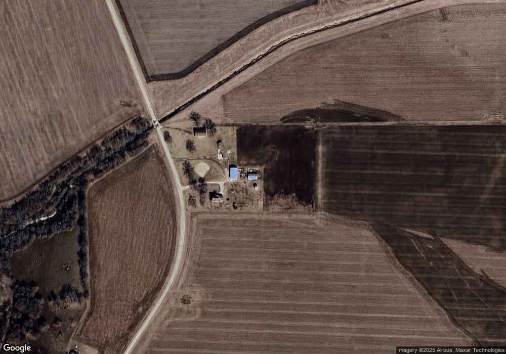
14804 Billet Rd Pontiac, IL 61764
Estimated Value: $274,000 - $359,472
4
Beds
2
Baths
1,686
Sq Ft
$185/Sq Ft
Est. Value
About This Home
This home is located at 14804 Billet Rd, Pontiac, IL 61764 and is currently estimated at $311,118, approximately $184 per square foot. 14804 Billet Rd is a home located in Livingston County with nearby schools including Central Elementary School, Washington Elementary School, and Lincoln Elementary School.
Ownership History
Date
Name
Owned For
Owner Type
Purchase Details
Closed on
Jan 21, 2011
Sold by
Pfaff Matthew
Bought by
Krause Jacob M and Krause Amy
Current Estimated Value
Home Financials for this Owner
Home Financials are based on the most recent Mortgage that was taken out on this home.
Original Mortgage
$19,000
Interest Rate
4.89%
Create a Home Valuation Report for This Property
The Home Valuation Report is an in-depth analysis detailing your home's value as well as a comparison with similar homes in the area
Home Values in the Area
Average Home Value in this Area
Purchase History
| Date | Buyer | Sale Price | Title Company |
|---|---|---|---|
| Krause Jacob M | $15,000 | -- | |
| Krause Jacob M | $175,000 | -- |
Source: Public Records
Mortgage History
| Date | Status | Borrower | Loan Amount |
|---|---|---|---|
| Closed | Krause Jacob M | $19,000 | |
| Open | Krause Jacob M | $152,000 | |
| Closed | Krause Jacob M | $152,000 |
Source: Public Records
Tax History Compared to Growth
Tax History
| Year | Tax Paid | Tax Assessment Tax Assessment Total Assessment is a certain percentage of the fair market value that is determined by local assessors to be the total taxable value of land and additions on the property. | Land | Improvement |
|---|---|---|---|---|
| 2024 | $6,458 | $89,269 | $17,320 | $71,949 |
| 2023 | $6,123 | $81,450 | $15,803 | $65,647 |
| 2022 | $5,823 | $75,082 | $14,008 | $61,074 |
| 2021 | $5,518 | $70,565 | $13,165 | $57,400 |
| 2020 | $5,379 | $67,205 | $12,538 | $54,667 |
| 2019 | $5,489 | $67,205 | $12,538 | $54,667 |
| 2018 | $5,805 | $70,674 | $15,068 | $55,606 |
| 2017 | $5,888 | $71,280 | $14,629 | $56,651 |
| 2016 | $6,219 | $69,204 | $14,203 | $55,001 |
| 2015 | $5,891 | $64,316 | $13,200 | $51,116 |
| 2013 | $6,164 | $70,316 | $13,363 | $56,953 |
Source: Public Records
Map
Nearby Homes
- 14373 N 1700 Rd E
- 17864 E 1700 Rd N
- 126 E Diller St
- 517 E Payson St
- 702 E Timber St
- 225 E Pinckney St
- 1702 S Plum St
- 772 S Locust St
- 110 W Olive St
- 413 E Timber St
- 119 W Lowell Ave
- 907 E Madison St
- 219 W Bennett St
- 1314 E Kirkwood Dr
- 915 E Prairie St
- 510 E Washington St
- 319 W Moulton St
- 101 E Grove St
- 304 S Mill St
- 511 E Prairie St