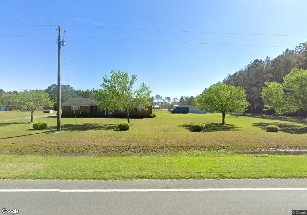
14806 Highway 41 Sparks, GA 31647
Estimated Value: $216,274 - $283,000
--
Bed
--
Bath
2,145
Sq Ft
$114/Sq Ft
Est. Value
About This Home
This home is located at 14806 Highway 41, Sparks, GA 31647 and is currently estimated at $243,569, approximately $113 per square foot. 14806 Highway 41 is a home located in Cook County with nearby schools including Cook Primary School, Cook Elementary School, and Cook County Middle School.
Ownership History
Date
Name
Owned For
Owner Type
Purchase Details
Closed on
Oct 13, 2015
Sold by
Arrazola Tito L
Bought by
Cribbs Curtis Albert and Cribbs Jacqueline Lynn
Current Estimated Value
Purchase Details
Closed on
Oct 19, 2012
Sold by
Federal National Mortgage Association
Bought by
Arrazola Tito L
Home Financials for this Owner
Home Financials are based on the most recent Mortgage that was taken out on this home.
Original Mortgage
$68,732
Interest Rate
3.37%
Mortgage Type
FHA
Purchase Details
Closed on
Jan 3, 2012
Sold by
Bank Of America Na
Bought by
Federal National Mortgage Association
Create a Home Valuation Report for This Property
The Home Valuation Report is an in-depth analysis detailing your home's value as well as a comparison with similar homes in the area
Home Values in the Area
Average Home Value in this Area
Purchase History
| Date | Buyer | Sale Price | Title Company |
|---|---|---|---|
| Cribbs Curtis Albert | $119,000 | -- | |
| Arrazola Tito L | $70,000 | -- | |
| Federal National Mortgage Association | -- | -- | |
| Bank Of America Na | $96,300 | -- |
Source: Public Records
Mortgage History
| Date | Status | Borrower | Loan Amount |
|---|---|---|---|
| Previous Owner | Arrazola Tito L | $68,732 |
Source: Public Records
Tax History Compared to Growth
Tax History
| Year | Tax Paid | Tax Assessment Tax Assessment Total Assessment is a certain percentage of the fair market value that is determined by local assessors to be the total taxable value of land and additions on the property. | Land | Improvement |
|---|---|---|---|---|
| 2024 | $1,583 | $60,756 | $6,401 | $54,355 |
| 2023 | $1,383 | $53,351 | $6,401 | $46,950 |
| 2022 | $1,365 | $52,665 | $5,715 | $46,950 |
| 2021 | $1,224 | $44,335 | $5,715 | $38,620 |
| 2020 | $1,224 | $44,335 | $5,715 | $38,620 |
| 2019 | $1,225 | $44,335 | $5,715 | $38,620 |
| 2018 | $1,282 | $44,335 | $5,715 | $38,620 |
| 2017 | $1,226 | $44,335 | $5,715 | $38,620 |
| 2016 | $1,228 | $44,335 | $5,715 | $38,620 |
| 2015 | $1,105 | $38,075 | $5,715 | $32,360 |
| 2014 | $1,107 | $38,075 | $5,715 | $32,360 |
| 2013 | -- | $45,529 | $7,144 | $38,385 |
Source: Public Records
Map
Nearby Homes
- 15150 U S 41
- 0 Barneyville Rd
- 801 Broad St
- 411 S Robinson St
- 83 W Gray Ave
- 77 S Bobby St
- 320 E Central Ave
- 221 Rentz Bridge Rd
- 103 N College St
- 284 Barrett Rd
- 134 Brandy Ct
- 105 Orchard Cir
- 2603 Dianne St
- 2503 Dianne St
- 2302 Thomas St
- 4711 Highway 37
- 123 Westover Dr
- 120 Westover Dr
- 137 Hood Dr
- 1402 Bear Creek Rd
- 14806 Us Highway 41
- 14684 Highway 41
- 14844 Highway 41
- 14884 Highway 41
- 14704 Highway 41
- 14920 Highway 41
- 14819 Highway 41
- 14700 Highway 41
- 162 Pine Needle Rd
- 14891 Highway 41
- 161 Pine Needle Rd
- 15020 Highway 41
- 14971 Highway 41
- 15050 Highway 41
- 15106 Highway 41
- 15106 Highway 41
- 15150 Highway 41
- 15150 Highway 41
- 15170 U S 41
- 15170 Us Highway 41