14806B Liberty Rd Mount Airy, MD 21771
Estimated Value: $560,000 - $1,387,000
--
Bed
3
Baths
1,425
Sq Ft
$690/Sq Ft
Est. Value
About This Home
This home is located at 14806B Liberty Rd, Mount Airy, MD 21771 and is currently estimated at $982,965, approximately $689 per square foot. 14806B Liberty Rd is a home located in Frederick County with nearby schools including Liberty Elementary School, New Market Middle School, and Linganore High School.
Ownership History
Date
Name
Owned For
Owner Type
Purchase Details
Closed on
Nov 20, 1998
Sold by
Higgins Jay S
Bought by
Leahy Barry W
Current Estimated Value
Purchase Details
Closed on
Sep 2, 1986
Sold by
Craig Craig M and Craig Beverly M
Bought by
Higgins, Jay S.
Home Financials for this Owner
Home Financials are based on the most recent Mortgage that was taken out on this home.
Original Mortgage
$90,000
Interest Rate
9.93%
Create a Home Valuation Report for This Property
The Home Valuation Report is an in-depth analysis detailing your home's value as well as a comparison with similar homes in the area
Home Values in the Area
Average Home Value in this Area
Purchase History
| Date | Buyer | Sale Price | Title Company |
|---|---|---|---|
| Leahy Barry W | $395,000 | -- | |
| Higgins, Jay S. | $183,000 | -- |
Source: Public Records
Mortgage History
| Date | Status | Borrower | Loan Amount |
|---|---|---|---|
| Previous Owner | Higgins, Jay S. | $90,000 |
Source: Public Records
Tax History Compared to Growth
Tax History
| Year | Tax Paid | Tax Assessment Tax Assessment Total Assessment is a certain percentage of the fair market value that is determined by local assessors to be the total taxable value of land and additions on the property. | Land | Improvement |
|---|---|---|---|---|
| 2025 | $7,563 | $646,800 | $351,600 | $295,200 |
| 2024 | $7,563 | $643,767 | $0 | $0 |
| 2023 | $7,305 | $640,733 | $0 | $0 |
| 2022 | $7,270 | $637,700 | $411,200 | $226,500 |
| 2021 | $6,311 | $596,433 | $0 | $0 |
| 2020 | $6,311 | $555,167 | $0 | $0 |
| 2019 | $5,842 | $513,900 | $301,200 | $212,700 |
| 2018 | $5,607 | $481,533 | $0 | $0 |
| 2017 | $5,273 | $513,900 | $0 | $0 |
| 2016 | $3,434 | $416,800 | $0 | $0 |
| 2015 | $3,434 | $410,600 | $0 | $0 |
| 2014 | $3,434 | $404,400 | $0 | $0 |
Source: Public Records
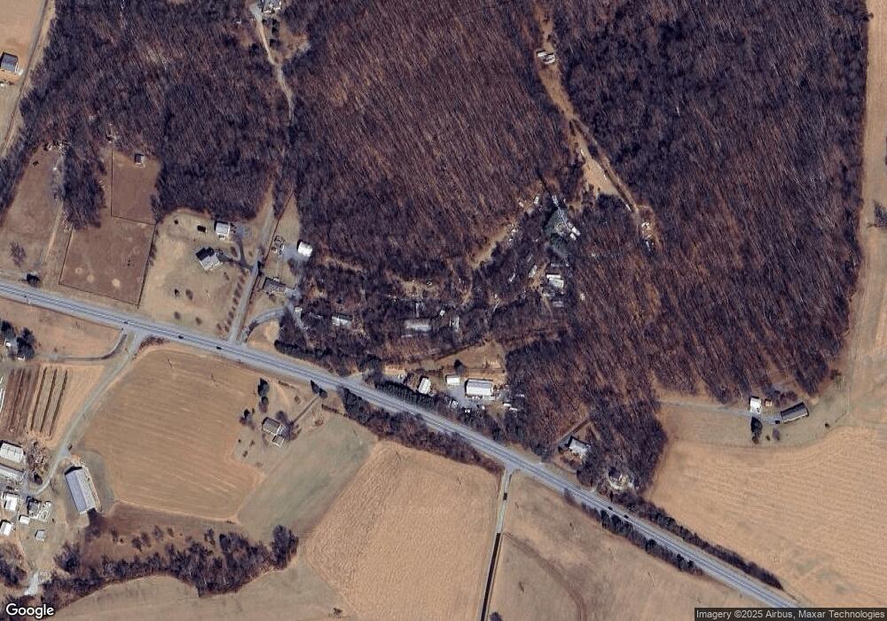
Map
Nearby Homes
- 3816 A Jim Smith Ln
- 3720 Buffalo Rd
- 15602 Wildrose Ct
- 14901 New Windsor Rd
- 0 New Windsor Rd Unit MDFR2073236
- 3870 Roop Rd
- 4417 Buffalo Rd
- 7309 Talbot Run Rd
- 3204 Hooper Rd
- 10015 Parsonage Ln
- 7407 Woodville Rd
- 15332 New Windsor Rd
- 2990 Honeywood Dr
- 2995 Sams Creek Rd
- 0 Keys Chapel Rd Unit MDFR2040360
- 13201 Nittany Ct
- 8730 Mapleville Rd
- 7208 Wilson Rd
- 4828 Ridge Rd
- 4328 Ridge Rd Unit 13
- 14806A Liberty Rd
- 14760 Liberty Rd
- 14703 Liberty Rd
- 14850 Liberty Rd
- 14627 Liberty Rd
- 14623 Liberty Rd
- 14615 Liberty Rd
- 14601 Liberty Rd
- 14902 Liberty Rd
- 14790 Liberty Rd
- 14914 Liberty Rd
- 14770 Liberty Rd
- 14602 Liberty Rd
- 14788 Liberty Rd
- 14513 Liberty Rd
- 0 Liberty Rd Unit 1006867988
- 0 Liberty Rd Unit 1006729064
- 0 Liberty Rd Unit 1003260694
- 0 Liberty Rd Unit 1004227677
- 0 Liberty Rd Unit 1009259722