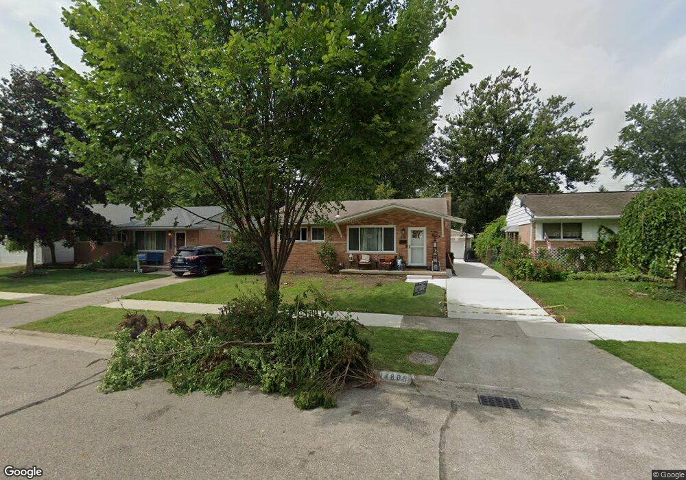
14809 Auburndale St Livonia, MI 48154
Estimated Value: $264,000 - $280,000
3
Beds
2
Baths
1,041
Sq Ft
$261/Sq Ft
Est. Value
About This Home
This home is located at 14809 Auburndale St, Livonia, MI 48154 and is currently estimated at $271,511, approximately $260 per square foot. 14809 Auburndale St is a home located in Wayne County with nearby schools including Kennedy Elementary School, Johnson Upper Elementary School, and Frost Middle School.
Ownership History
Date
Name
Owned For
Owner Type
Purchase Details
Closed on
Aug 18, 2020
Sold by
Brenneman Tania and Munoz Tania
Bought by
Munoz Tania and Munoz Daniel
Current Estimated Value
Home Financials for this Owner
Home Financials are based on the most recent Mortgage that was taken out on this home.
Original Mortgage
$112,000
Outstanding Balance
$99,352
Interest Rate
3%
Mortgage Type
New Conventional
Estimated Equity
$172,159
Purchase Details
Closed on
Jun 24, 2011
Sold by
The Estate Of William T Gray
Bought by
Brenneman Tania
Create a Home Valuation Report for This Property
The Home Valuation Report is an in-depth analysis detailing your home's value as well as a comparison with similar homes in the area
Home Values in the Area
Average Home Value in this Area
Purchase History
| Date | Buyer | Sale Price | Title Company |
|---|---|---|---|
| Munoz Tania | -- | Peter Joelson Ttl Sln Agcy L | |
| Brenneman Tania | $90,000 | Capital Title Ins Agency |
Source: Public Records
Mortgage History
| Date | Status | Borrower | Loan Amount |
|---|---|---|---|
| Open | Munoz Tania | $112,000 |
Source: Public Records
Tax History Compared to Growth
Tax History
| Year | Tax Paid | Tax Assessment Tax Assessment Total Assessment is a certain percentage of the fair market value that is determined by local assessors to be the total taxable value of land and additions on the property. | Land | Improvement |
|---|---|---|---|---|
| 2025 | $1,319 | $115,200 | $0 | $0 |
| 2024 | $1,319 | $108,700 | $0 | $0 |
| 2023 | $1,259 | $97,100 | $0 | $0 |
| 2022 | $2,210 | $89,600 | $0 | $0 |
| 2021 | $2,147 | $86,100 | $0 | $0 |
| 2019 | $2,060 | $77,000 | $0 | $0 |
| 2018 | $1,064 | $71,200 | $0 | $0 |
| 2017 | $1,884 | $63,400 | $0 | $0 |
| 2016 | $1,980 | $63,400 | $0 | $0 |
| 2015 | $4,770 | $57,750 | $0 | $0 |
| 2012 | -- | $45,140 | $9,130 | $36,010 |
Source: Public Records
Map
Nearby Homes
- 14677 Auburndale St
- 15040 Berwick St
- 14563 Melrose St
- 32136 Lyndon St
- 15075 Hubbard St Unit 5
- 14327 Arden St
- 14879 Fairfield St
- 31221 Lyndon St
- 31126 Grennada St
- 14214 Cranston St
- 32651 5 Mile Rd Unit 15
- 15600 Auburndale St
- 15345 Bainbridge St
- 14292 Hubbell St
- 31005 Roycroft St
- 14164 Bainbridge St
- 30831 Lyndon St
- 14154 Hubbell St
- 33040 Allen St
- 33025 Martin St
- 14797 Auburndale St
- 14821 Auburndale St
- 14833 Auburndale St
- 14785 Auburndale St
- 14806 Berwick St
- 14845 Auburndale St
- 14792 Berwick St
- 14820 Berwick St
- 14774 Berwick St
- 14808 Auburndale St
- 14784 Auburndale St
- 14844 Berwick St
- 14773 Auburndale St
- 14760 Berwick St
- 14820 Auburndale St
- 14844 Auburndale St
- 14772 Auburndale St
- 14761 Auburndale St Unit Bldg-Unit
- 14761 Auburndale St
- 14915 Auburndale St