1481 Sampson Acres Dr Clinton, NC 28328
Estimated Value: $197,129 - $230,000
2
Beds
2
Baths
1,136
Sq Ft
$186/Sq Ft
Est. Value
About This Home
This home is located at 1481 Sampson Acres Dr, Clinton, NC 28328 and is currently estimated at $211,782, approximately $186 per square foot. 1481 Sampson Acres Dr is a home with nearby schools including Midway Elementary School, Midway Middle School, and Midway High School.
Ownership History
Date
Name
Owned For
Owner Type
Purchase Details
Closed on
Mar 3, 2020
Sold by
Koval Chris Ann
Bought by
Koval Karol Joseph
Current Estimated Value
Purchase Details
Closed on
Dec 8, 2017
Sold by
Koval Karol Joseph
Bought by
Koval Chris Ann
Purchase Details
Closed on
May 17, 2010
Sold by
Byrd T Bruce
Bought by
Barlowe Marvin G and Barlowe Norma W
Home Financials for this Owner
Home Financials are based on the most recent Mortgage that was taken out on this home.
Original Mortgage
$127,650
Interest Rate
4.52%
Mortgage Type
VA
Purchase Details
Closed on
May 3, 2010
Sold by
Barlowe Marvin G and Barlowe Norma W
Bought by
Koval Karol Joseph
Home Financials for this Owner
Home Financials are based on the most recent Mortgage that was taken out on this home.
Original Mortgage
$127,650
Interest Rate
4.52%
Mortgage Type
VA
Purchase Details
Closed on
Sep 30, 2008
Sold by
Byrd T Bruce
Bought by
Barlowe Marvin G and Barlowe Norma W
Create a Home Valuation Report for This Property
The Home Valuation Report is an in-depth analysis detailing your home's value as well as a comparison with similar homes in the area
Home Values in the Area
Average Home Value in this Area
Purchase History
| Date | Buyer | Sale Price | Title Company |
|---|---|---|---|
| Koval Karol Joseph | -- | None Available | |
| Koval Chris Ann | -- | None Available | |
| Barlowe Marvin G | -- | -- | |
| Koval Karol Joseph | $125,000 | -- | |
| Barlowe Marvin G | $125,000 | -- |
Source: Public Records
Mortgage History
| Date | Status | Borrower | Loan Amount |
|---|---|---|---|
| Previous Owner | Koval Karol Joseph | $127,650 |
Source: Public Records
Tax History Compared to Growth
Tax History
| Year | Tax Paid | Tax Assessment Tax Assessment Total Assessment is a certain percentage of the fair market value that is determined by local assessors to be the total taxable value of land and additions on the property. | Land | Improvement |
|---|---|---|---|---|
| 2025 | $1,250 | $159,176 | $22,950 | $136,226 |
| 2024 | $1,122 | $159,176 | $22,950 | $136,226 |
| 2023 | $1,057 | $114,226 | $15,000 | $99,226 |
| 2022 | $1,057 | $114,226 | $15,000 | $99,226 |
| 2021 | $1,057 | $114,226 | $15,000 | $99,226 |
| 2020 | $1,057 | $114,226 | $15,000 | $99,226 |
| 2019 | $1,057 | $114,226 | $0 | $0 |
| 2018 | $1,085 | $117,327 | $0 | $0 |
| 2017 | $1,085 | $117,327 | $0 | $0 |
| 2016 | $1,091 | $117,327 | $0 | $0 |
| 2015 | $1,091 | $117,327 | $0 | $0 |
| 2014 | $1,091 | $117,327 | $0 | $0 |
Source: Public Records
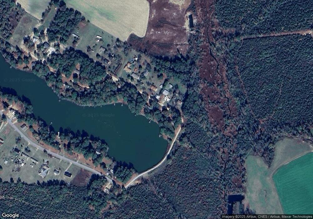
Map
Nearby Homes
- 1509 Sampson Acres Dr
- 267 Ed Collins Ln
- 00 Trail End Ln
- 00 Trail End Ln Unit LotWP001
- 340 Jones Rd
- 770 Simmons Rd
- 260 Naylor School Rd
- 367 Water Oak Ln
- 2506 Parker Memorial Rd
- 2534 Parker Memorial Rd
- 2546 Parker Memorial Rd
- Lot 5 Crumpler Lake Ln
- 13015 Hobbton Hwy
- 243 Sandhole Rd
- 25 Duke Ln
- 88 Holiday Ln
- 381 Royal Rd
- 3014 Basstown Rd
- 3570 Penny Tew Mill Rd
- 1445 Sampson Acres Dr
- 1484 Sampson Acres Dr
- 1521 Sampson Acres Dr
- 1516 Sampson Acres Dr
- 1454 Sampson Acres Dr
- 1530 Sampson Acres Dr
- 1579 Sampson Acres Dr
- 1597 Sampson Acres Dr
- 1570 Sampson Acres Dr
- 1635 Sampson Acres Dr
- 1175 Sampson Acres Dr
- 1647 Sampson Acres Dr
- 1157 Sampson Acres Dr
- 1672 Sampson Acres Dr
- 1135 Sampson Acres Dr
- 1230 Sampson Acres Dr
- 1117 Sampson Acres Dr
- 0 Garys Ln
- 1097 Sampson Acres Dr
- 1701 Sampson Acres Dr