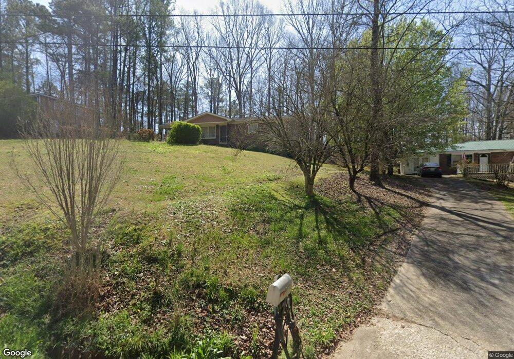
1481 Stringer Rd Rockmart, GA 30153
Estimated Value: $182,667 - $211,000
3
Beds
2
Baths
1,075
Sq Ft
$187/Sq Ft
Est. Value
About This Home
This home is located at 1481 Stringer Rd, Rockmart, GA 30153 and is currently estimated at $201,167, approximately $187 per square foot. 1481 Stringer Rd is a home located in Polk County with nearby schools including Rockmart Middle School.
Ownership History
Date
Name
Owned For
Owner Type
Purchase Details
Closed on
Aug 30, 1988
Sold by
Specialty Instal Inc
Bought by
Kent Deleia M
Current Estimated Value
Purchase Details
Closed on
Oct 9, 1984
Sold by
Tuggle Marion Lee
Bought by
Speciality Install I
Purchase Details
Closed on
Oct 5, 1978
Sold by
Sec Of H U D
Bought by
Tuggle Marion Lee
Purchase Details
Closed on
Sep 7, 1977
Sold by
Fed Natl Mortgage As
Bought by
Sec Of H U D
Purchase Details
Closed on
Sep 1, 1977
Sold by
Wingo Lottie Mae
Bought by
Fed Natl Mortgage As
Purchase Details
Closed on
Aug 1, 1973
Sold by
Wingo Herman A
Bought by
Wingo Lottie Mae
Purchase Details
Closed on
Aug 12, 1971
Bought by
Wingo Herman A
Create a Home Valuation Report for This Property
The Home Valuation Report is an in-depth analysis detailing your home's value as well as a comparison with similar homes in the area
Home Values in the Area
Average Home Value in this Area
Purchase History
| Date | Buyer | Sale Price | Title Company |
|---|---|---|---|
| Kent Deleia M | $64,000 | -- | |
| Speciality Install I | -- | -- | |
| Tuggle Marion Lee | -- | -- | |
| Sec Of H U D | -- | -- | |
| Fed Natl Mortgage As | -- | -- | |
| Wingo Lottie Mae | -- | -- | |
| Wingo Herman A | -- | -- |
Source: Public Records
Tax History Compared to Growth
Tax History
| Year | Tax Paid | Tax Assessment Tax Assessment Total Assessment is a certain percentage of the fair market value that is determined by local assessors to be the total taxable value of land and additions on the property. | Land | Improvement |
|---|---|---|---|---|
| 2024 | $966 | $48,192 | $2,262 | $45,930 |
| 2023 | $696 | $31,321 | $2,262 | $29,059 |
| 2022 | $578 | $26,369 | $1,508 | $24,861 |
| 2021 | $586 | $26,369 | $1,508 | $24,861 |
| 2020 | $587 | $26,369 | $1,508 | $24,861 |
| 2019 | $375 | $15,953 | $1,508 | $14,445 |
| 2018 | $373 | $15,522 | $1,508 | $14,014 |
| 2017 | $372 | $15,663 | $1,649 | $14,014 |
| 2016 | $352 | $14,934 | $920 | $14,014 |
| 2015 | $354 | $14,973 | $920 | $14,053 |
| 2014 | $357 | $14,973 | $920 | $14,053 |
Source: Public Records
Map
Nearby Homes
- 1157 Stringer Rd
- 394 Knight Rd
- 470 Knight Rd
- 1907 Old Cedartown Rd
- 2020 Old Cedartown Rd
- 93 Clay Rd
- 247 Grady Rd
- 3323 Rockmart Hwy
- 600 Grady Rd
- 332 Stringer Rd
- 1039 Old Cedartown Rd
- 536 Wimberly Hill Rd
- 0 Pine Mountain Rd Unit 7662185
- 0 Pine Mountain Rd Unit 10478395
- 0 Pine Mountain Rd Unit 7540784
- 0 Everett Mtn Rd
- 184 Morgan Ln
- 94 Wimberly Hill Loop
- 1211 Bellview Rd
- 155 Government Farm Rd
- 1491 Stringer Rd
- 1471 Stringer Rd
- 1461 Stringer Rd
- 1451 Stringer Rd
- 672 Bethlehem Rd
- 679 Bethlehem Rd
- 1435 Stringer Rd
- 778 Bethlehem Rd
- 1425 Stringer Rd
- 714 Bethlehem Rd
- 584 Bethlehem Rd
- 567 Bethlehem Rd
- 1340 Stringer Rd
- 554 Bethlehem Rd
- 507 Bethlehem Rd
- 525 Bethlehem Rd Unit 904
- 525 Bethlehem Rd
- 809 Bethlehem Rd
- 530 Bethlehem Rd
- 169 Knight Rd