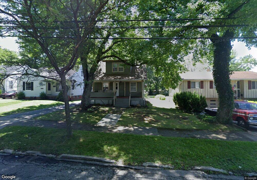
14818 James Ave Maple Heights, OH 44137
Estimated Value: $117,000 - $145,000
3
Beds
1
Bath
1,059
Sq Ft
$124/Sq Ft
Est. Value
About This Home
This home is located at 14818 James Ave, Maple Heights, OH 44137 and is currently estimated at $131,344, approximately $124 per square foot. 14818 James Ave is a home located in Cuyahoga County with nearby schools including Abraham Lincoln Elementary School, Rockside/ J.F. Kennedy School, and Barack Obama School.
Ownership History
Date
Name
Owned For
Owner Type
Purchase Details
Closed on
Jan 15, 2020
Sold by
Peak Odell Iii Llc
Bought by
Aeb Investments Llc
Current Estimated Value
Purchase Details
Closed on
Nov 19, 2019
Sold by
Wells Fargo Bank Na
Bought by
Peak Odell Iii Llc
Purchase Details
Closed on
Mar 21, 2019
Sold by
Sloan William
Bought by
Wells Fargo Bank Na
Purchase Details
Closed on
May 24, 1993
Sold by
Golden Thos J and D K
Bought by
Sloan William
Purchase Details
Closed on
Jan 1, 1975
Bought by
Golden Thos J and D K
Create a Home Valuation Report for This Property
The Home Valuation Report is an in-depth analysis detailing your home's value as well as a comparison with similar homes in the area
Home Values in the Area
Average Home Value in this Area
Purchase History
| Date | Buyer | Sale Price | Title Company |
|---|---|---|---|
| Aeb Investments Llc | $26,000 | None Available | |
| Peak Odell Iii Llc | $12,000 | None Available | |
| Wells Fargo Bank Na | $18,667 | Allodial Title | |
| Sloan William | $65,500 | -- | |
| Golden Thos J | -- | -- |
Source: Public Records
Tax History
| Year | Tax Paid | Tax Assessment Tax Assessment Total Assessment is a certain percentage of the fair market value that is determined by local assessors to be the total taxable value of land and additions on the property. | Land | Improvement |
|---|---|---|---|---|
| 2025 | $3,395 | $42,245 | $11,235 | $31,010 |
| 2024 | $3,776 | $42,245 | $11,235 | $31,010 |
| 2023 | $2,855 | $27,200 | $7,630 | $19,570 |
| 2022 | $2,845 | $27,200 | $7,630 | $19,570 |
| 2021 | $3,036 | $27,200 | $7,630 | $19,570 |
| 2020 | $2,828 | $22,300 | $6,270 | $16,030 |
| 2019 | $5,334 | $63,700 | $17,900 | $45,800 |
| 2018 | $2,648 | $22,300 | $6,270 | $16,030 |
| 2017 | $2,750 | $21,910 | $4,550 | $17,360 |
| 2016 | $2,659 | $21,910 | $4,550 | $17,360 |
| 2015 | $2,628 | $21,910 | $4,550 | $17,360 |
| 2014 | $2,628 | $23,560 | $4,900 | $18,660 |
Source: Public Records
Map
Nearby Homes
- 14808 James Ave
- 5948 Dunham Rd
- 14320 Janice Dr
- 14012 Wheeler Rd
- 6045 Dunham Rd
- 15305 Steinway Blvd
- 14956 Carol Dr
- 14214 Tabor Ave
- 6089 Dunham Rd
- 13804 Rockside Rd
- 13810 Martin Dr
- 14203 Tabor Ave
- 15401 Walvern Blvd
- 14357 Turney Rd
- 15800 Northwood Ave
- 5853 Monica Ln
- 13741 Grove Dr
- 15513 Walvern Blvd
- 14413 Krems Ave
- SL15 Rocky Top Ct
- 14902 James Ave
- 14816 James Ave
- 0 James
- 14906 James Ave
- 14812 James Ave
- 14910 James Ave
- 14914 James Ave
- 14817 James Ave
- 14813 James Ave
- 14905 James Ave
- 14809 James Ave
- 14800 James Ave
- 14909 James Ave
- 14805 James Ave
- 14918 James Ave
- 14801 James Ave
- 14913 James Ave
- 14720 James Ave
- 15000 James Ave
- 14717 James Ave
Your Personal Tour Guide
Ask me questions while you tour the home.