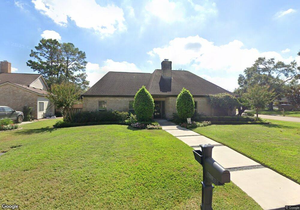
14819 Bluffridge Cir Houston, TX 77095
Hearthstone NeighborhoodEstimated Value: $409,000 - $456,134
3
Beds
4
Baths
2,800
Sq Ft
$152/Sq Ft
Est. Value
About This Home
This home is located at 14819 Bluffridge Cir, Houston, TX 77095 and is currently estimated at $425,284, approximately $151 per square foot. 14819 Bluffridge Cir is a home located in Harris County with nearby schools including Owens Elementary School, Labay Middle School, and Cypress Falls High School.
Ownership History
Date
Name
Owned For
Owner Type
Purchase Details
Closed on
Mar 28, 2024
Sold by
Forslund Donald S and Forslund Karen M
Bought by
Donald And Karen Forslund Revocable Trust and Forslund
Current Estimated Value
Purchase Details
Closed on
Apr 13, 2016
Sold by
Gwyn Alice Suzanne
Bought by
Forslund Donald S and Forslund Karen M
Home Financials for this Owner
Home Financials are based on the most recent Mortgage that was taken out on this home.
Original Mortgage
$269,950
Interest Rate
3.71%
Mortgage Type
New Conventional
Create a Home Valuation Report for This Property
The Home Valuation Report is an in-depth analysis detailing your home's value as well as a comparison with similar homes in the area
Home Values in the Area
Average Home Value in this Area
Purchase History
| Date | Buyer | Sale Price | Title Company |
|---|---|---|---|
| Donald And Karen Forslund Revocable Trust | -- | None Listed On Document | |
| Forslund Donald S | -- | Startex Title Company |
Source: Public Records
Mortgage History
| Date | Status | Borrower | Loan Amount |
|---|---|---|---|
| Previous Owner | Forslund Donald S | $269,950 |
Source: Public Records
Tax History Compared to Growth
Tax History
| Year | Tax Paid | Tax Assessment Tax Assessment Total Assessment is a certain percentage of the fair market value that is determined by local assessors to be the total taxable value of land and additions on the property. | Land | Improvement |
|---|---|---|---|---|
| 2025 | $7,689 | $462,023 | $121,027 | $340,996 |
| 2024 | $7,689 | $478,535 | $121,027 | $357,508 |
| 2023 | $7,689 | $470,321 | $121,027 | $349,294 |
| 2022 | $9,210 | $402,187 | $92,813 | $309,374 |
| 2021 | $8,787 | $351,362 | $92,813 | $258,549 |
| 2020 | $8,330 | $331,297 | $77,963 | $253,334 |
| 2019 | $8,389 | $323,174 | $63,954 | $259,220 |
| 2018 | $3,248 | $313,196 | $63,954 | $249,242 |
| 2017 | $7,561 | $290,119 | $63,954 | $226,165 |
| 2016 | $6,963 | $267,175 | $63,954 | $203,221 |
| 2015 | $3,255 | $267,175 | $63,954 | $203,221 |
| 2014 | $3,255 | $256,040 | $63,954 | $192,086 |
Source: Public Records
Map
Nearby Homes
- 7111 Winding Walk Dr
- 7215 Creek Crest Dr
- 7035 Shasta Square
- 7106 Halfpenny Rd
- 7203 W Hearthstone Green Dr
- 14719 Blooming Jasmine Trail
- 14731 Blooming Jasmine Trail
- 14721 Blooming Jasmine Trail
- 14729 Blooming Jasmine Trail
- 7306 Creek Crest Dr
- 15110 Runbell Place
- 7238 N Hearthstone Green Dr
- 7202 Benwich Cir
- 14823 Elmont Dr
- 7407 Bull Creek Rd
- 14510 Sanour Dr
- 7315 Muirfield Valley Dr
- 6831 Hollow Hearth Dr
- 14311 Islandwoods Dr
- 6827 Hollow Hearth Dr
- 14815 Bluffridge Cir
- 7103 Winding Walk Dr
- 14811 Bluffridge Cir
- 7107 Winding Walk Dr
- 14818 Bluffridge Cir
- 14814 Bluffridge Cir
- 7103 Quail Field Dr
- 14807 Bluffridge Cir
- 7110 Quail Field Dr
- 14810 Bluffridge Cir
- 7107 Quail Field Dr
- 14822 Avila Bend Dr
- 7114 Winding Walk Dr
- 14818 Avila Bend Dr
- 14903 Heflin Ln
- 7111 Quail Field Dr
- 14803 Bluffridge Cir
- 14806 Bluffridge Cir
- 7114 Quail Field Dr
- 14814 Avila Bend Dr