1483 Langram Rd Put In Bay, OH 43456
Estimated Value: $354,282 - $493,000
1
Bed
2
Baths
1,296
Sq Ft
$323/Sq Ft
Est. Value
About This Home
This home is located at 1483 Langram Rd, Put In Bay, OH 43456 and is currently estimated at $418,821, approximately $323 per square foot. 1483 Langram Rd is a home with nearby schools including Put-In-Bay Elementary School and Put-In-Bay High School.
Ownership History
Date
Name
Owned For
Owner Type
Purchase Details
Closed on
May 19, 2016
Sold by
Newhouse David S
Bought by
Jackson Scott M
Current Estimated Value
Home Financials for this Owner
Home Financials are based on the most recent Mortgage that was taken out on this home.
Original Mortgage
$176,000
Outstanding Balance
$109,280
Interest Rate
3.59%
Mortgage Type
Future Advance Clause Open End Mortgage
Estimated Equity
$309,541
Purchase Details
Closed on
Nov 15, 2013
Sold by
Newhouse David S
Bought by
Newhouse David S
Create a Home Valuation Report for This Property
The Home Valuation Report is an in-depth analysis detailing your home's value as well as a comparison with similar homes in the area
Home Values in the Area
Average Home Value in this Area
Purchase History
| Date | Buyer | Sale Price | Title Company |
|---|---|---|---|
| Jackson Scott M | $220,000 | Attorney | |
| Newhouse David S | -- | Attorney |
Source: Public Records
Mortgage History
| Date | Status | Borrower | Loan Amount |
|---|---|---|---|
| Open | Jackson Scott M | $176,000 |
Source: Public Records
Tax History Compared to Growth
Tax History
| Year | Tax Paid | Tax Assessment Tax Assessment Total Assessment is a certain percentage of the fair market value that is determined by local assessors to be the total taxable value of land and additions on the property. | Land | Improvement |
|---|---|---|---|---|
| 2024 | $3,152 | $102,347 | $67,963 | $34,384 |
| 2023 | $3,152 | $90,017 | $61,786 | $28,231 |
| 2022 | $2,889 | $90,016 | $61,785 | $28,231 |
| 2021 | $2,892 | $90,020 | $61,790 | $28,230 |
| 2020 | $2,486 | $74,240 | $47,530 | $26,710 |
| 2019 | $2,388 | $74,240 | $47,530 | $26,710 |
| 2018 | $2,410 | $74,240 | $47,530 | $26,710 |
| 2017 | $1,838 | $56,080 | $37,630 | $18,450 |
| 2016 | $1,841 | $56,080 | $37,630 | $18,450 |
| 2015 | $1,807 | $56,080 | $37,630 | $18,450 |
| 2014 | $933 | $58,060 | $39,610 | $18,450 |
| 2013 | $1,750 | $58,060 | $39,610 | $18,450 |
Source: Public Records
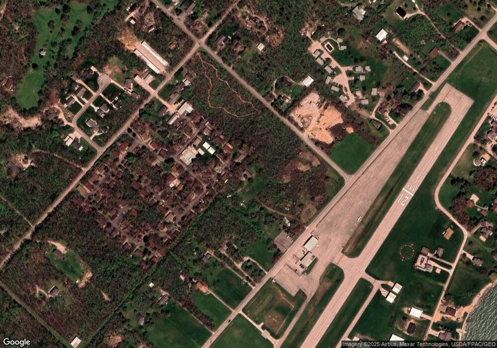
Map
Nearby Homes
- 166 Mariners Cove
- 1 Langram Rd
- 0 Langram Rd
- 156 Cessna Dr
- 1230 Tri-Motor Dr Unit 4
- 1230 Tri Motor Dr Unit 4
- 1262 Tri-Motor Dr Unit 110
- 1252 Tri-Motor Dr Unit 213
- 1741 Put In Bay Rd
- 70 Niese Place
- 1839 Put In Bay Rd
- 0 Put-In-bay Rd Unit 5108785
- 1751 Airline Dr
- 1 Elliot Ave
- 174 Booker Ln
- 1 Jones
- 1 Farragut
- 569 Victory Ln
- 585 Victory Ln
- 389 Loraine Ave
- 1484 Leeward Ln
- 1511 Leeward Ln
- 1525 Leeward Ln
- 1540 Leeward Ln
- 130 Sandcastle Dr
- 1554 Leeward Ln
- 1505 Langram Rd
- 140 Sandcastle Dr
- 139 Windward Way
- 1568 Leeward Ln
- 1496 Windward
- 27 Windward Way
- 1539 Langram Rd
- 51 Mariners Cove
- 1282 Tri Motor Unit 105
- 1582 Leeward Ln
- 52 Mariners Cove
- 0 Fairway Unit 500906
- 199 Decatur
- 0 Rose Unit 807188