1483 Maple Grove Rd West Branch, MI 48661
Estimated Value: $209,000 - $297,946
3
Beds
2
Baths
1,456
Sq Ft
$172/Sq Ft
Est. Value
About This Home
This home is located at 1483 Maple Grove Rd, West Branch, MI 48661 and is currently estimated at $249,737, approximately $171 per square foot. 1483 Maple Grove Rd is a home located in Ogemaw County with nearby schools including Surline Elementary School, Surline Middle School, and Ogemaw Heights High School.
Ownership History
Date
Name
Owned For
Owner Type
Purchase Details
Closed on
May 16, 2012
Sold by
United States Housing And Urban Developm
Bought by
Ziegler Jason
Current Estimated Value
Home Financials for this Owner
Home Financials are based on the most recent Mortgage that was taken out on this home.
Original Mortgage
$68,400
Outstanding Balance
$47,613
Interest Rate
4%
Mortgage Type
New Conventional
Estimated Equity
$202,124
Purchase Details
Closed on
Jun 24, 2011
Sold by
Travis Robert S and Travis
Bought by
Jpmorgan Chase Bank Na
Create a Home Valuation Report for This Property
The Home Valuation Report is an in-depth analysis detailing your home's value as well as a comparison with similar homes in the area
Home Values in the Area
Average Home Value in this Area
Purchase History
| Date | Buyer | Sale Price | Title Company |
|---|---|---|---|
| Ziegler Jason | $72,000 | Otsego County Abstract Co. | |
| Jpmorgan Chase Bank Na | $139,219 | -- |
Source: Public Records
Mortgage History
| Date | Status | Borrower | Loan Amount |
|---|---|---|---|
| Open | Ziegler Jason | $68,400 |
Source: Public Records
Tax History Compared to Growth
Tax History
| Year | Tax Paid | Tax Assessment Tax Assessment Total Assessment is a certain percentage of the fair market value that is determined by local assessors to be the total taxable value of land and additions on the property. | Land | Improvement |
|---|---|---|---|---|
| 2025 | $1,615 | $131,100 | $0 | $0 |
| 2024 | $8 | $119,400 | $0 | $0 |
| 2023 | $737 | $97,500 | $0 | $0 |
| 2022 | $1,455 | $67,300 | $0 | $0 |
| 2021 | $1,351 | $60,700 | $0 | $0 |
| 2020 | $1,393 | $64,600 | $0 | $0 |
| 2019 | $1,267 | $56,200 | $0 | $0 |
| 2018 | $1,237 | $57,900 | $0 | $0 |
| 2017 | $1,138 | $60,900 | $0 | $0 |
| 2016 | $1,110 | $54,000 | $0 | $0 |
| 2015 | $1,107 | $59,500 | $0 | $0 |
| 2014 | $501 | $53,300 | $0 | $0 |
Source: Public Records
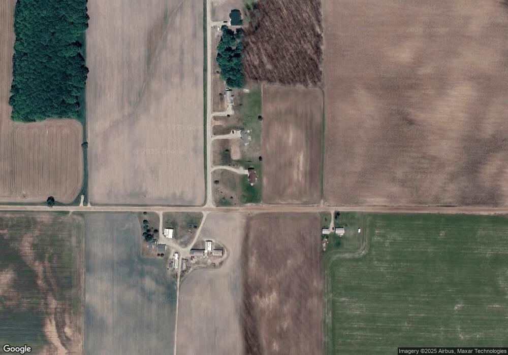
Map
Nearby Homes
- 1380 S Campbell Rd
- 409 S Morrison Rd
- x Oleskie Trail
- 1240 Quigley Rd
- 0 Whitetail Ct Unit 165
- 1820 N Ogemaw Trail
- 2011 S Ogemaw Trail
- 2388 Dam Rd
- 1872 Indianwood Trail
- 57 E Boehm Rd
- 2249 W State Rd
- 2190 Fox Run
- 2249 Fox Run
- 2371 Pilatus Ct
- 0 Jonathan Ct Unit 11 1926460
- 0 Jonathan Ct Unit 12 1926461
- 0 Jonathan Ct Unit 1926470
- 0 Jonathan Ct Unit 10 1926458
- 0 Arthur Ct Unit 1926554
- 0 Arthur Ct Unit 1926537
- 1463 Maple Grove Rd
- 1437 Maple Grove Rd
- 1437 Maple Grove Rd
- 276 E Finerty Rd
- 180 E Finerty Rd
- 1351 Maple Grove Rd
- 1487 S M 33
- 1587 S M-33
- 1480 S M 33
- 1419 S Morrison Rd
- 95 W Finerty Rd
- 1296 S M 33
- 1629 S Morrison Rd
- 1491 S M 33
- 1696 S Morrison Rd
- 122 W Finerty Rd
- 1752 M-33
- 1763 S M 33
- 1700 S M 33
- 1758 S Morrison Rd