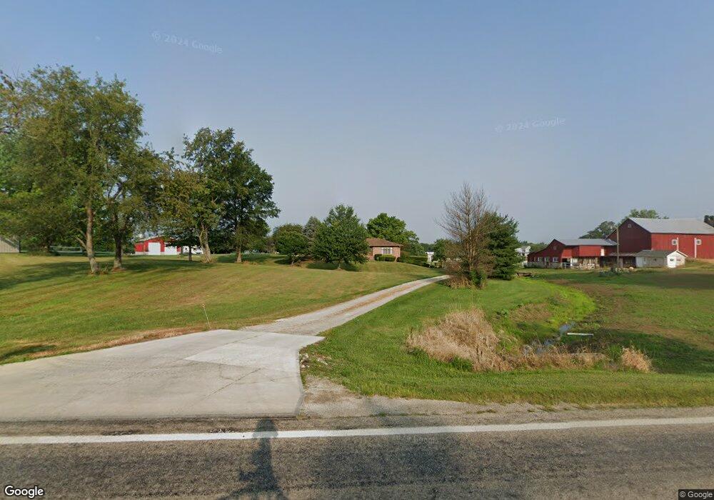
1483 N State Route 61 Sunbury, OH 43074
Estimated Value: $426,000 - $580,000
3
Beds
2
Baths
1,750
Sq Ft
$288/Sq Ft
Est. Value
About This Home
This home is located at 1483 N State Route 61, Sunbury, OH 43074 and is currently estimated at $503,758, approximately $287 per square foot. 1483 N State Route 61 is a home located in Delaware County with nearby schools including General Rosecrans Elementary School, Big Walnut Intermediate School, and Big Walnut Middle School.
Ownership History
Date
Name
Owned For
Owner Type
Purchase Details
Closed on
Nov 10, 2023
Sold by
Hoover Keystone Inheritance Trust
Bought by
Hoover Keystone Inheritance Trust and Hoover
Current Estimated Value
Purchase Details
Closed on
Jun 17, 2021
Sold by
Hoover Christopher B and The Hoover Keystone Inheritanc
Bought by
Bainum Jason and Bainum Brittany
Home Financials for this Owner
Home Financials are based on the most recent Mortgage that was taken out on this home.
Original Mortgage
$52,000
Interest Rate
4.87%
Mortgage Type
Adjustable Rate Mortgage/ARM
Purchase Details
Closed on
Jul 22, 2020
Bought by
Hoover Christopher B Trustee
Purchase Details
Closed on
Aug 5, 2006
Sold by
Hoover Kenneth C
Bought by
Hoover Kenneth C and Hoover Carolyn M
Purchase Details
Closed on
Jul 10, 2006
Sold by
Hoover Kenneth C and Hoover Carolyn M
Bought by
Hoover Kenneth C
Create a Home Valuation Report for This Property
The Home Valuation Report is an in-depth analysis detailing your home's value as well as a comparison with similar homes in the area
Home Values in the Area
Average Home Value in this Area
Purchase History
| Date | Buyer | Sale Price | Title Company |
|---|---|---|---|
| Hoover Keystone Inheritance Trust | -- | Scott Miller-Box | |
| Bainum Jason | $80,000 | Great American Title Agemcy | |
| Hoover Christopher B Trustee | -- | -- | |
| Hoover Kenneth C | -- | None Available | |
| Hoover Kenneth C | -- | None Available |
Source: Public Records
Mortgage History
| Date | Status | Borrower | Loan Amount |
|---|---|---|---|
| Previous Owner | Bainum Jason | $52,000 |
Source: Public Records
Tax History Compared to Growth
Tax History
| Year | Tax Paid | Tax Assessment Tax Assessment Total Assessment is a certain percentage of the fair market value that is determined by local assessors to be the total taxable value of land and additions on the property. | Land | Improvement |
|---|---|---|---|---|
| 2024 | $5,067 | $144,520 | $41,480 | $103,040 |
| 2023 | $3,971 | $116,310 | $31,260 | $85,050 |
| 2022 | $2,858 | $78,650 | $22,330 | $56,320 |
| 2021 | $2,873 | $78,650 | $22,330 | $56,320 |
| 2020 | $3,059 | $82,610 | $26,290 | $56,320 |
| 2019 | $2,366 | $67,560 | $22,860 | $44,700 |
| 2018 | $2,226 | $67,560 | $22,860 | $44,700 |
| 2017 | $1,966 | $60,450 | $17,570 | $42,880 |
| 2016 | $1,801 | $60,450 | $17,570 | $42,880 |
| 2015 | $1,812 | $60,450 | $17,570 | $42,880 |
| 2014 | $1,879 | $60,450 | $17,570 | $42,880 |
| 2013 | $2,008 | $60,450 | $17,570 | $42,880 |
Source: Public Records
Map
Nearby Homes
- 956 N State Route 61
- 8790 Devon Ridge Ct
- 2100 Blayney Rd
- 732 N State Route 61
- 0 N State Route 61 Unit Lot 4 225027787
- 0 N State Route 61 Unit Lot 3 225027777
- 0 N State Route 61 Unit Lot 2 225027762
- 408 Village Ln
- 0 Kintner Pkwy
- 202 N Columbus St
- 0 W Cherry St
- 12433 Ohio 37
- 300 Fox Trail Dr
- 0 Hartford Rd Unit 8.17 acres 225016432
- 0 Ohio 37 Unit 225026227
- 561 Fields Meadow Dr
- 320 E Cherry St
- 761 Buckeye Cir Unit Lot 2392
- 285 E Cherry St
- 582 Weatherby Dr Unit Lot 2374
- 1487 N State Route 61
- 1447 N State Route 61
- 1530 N State Route 61
- 1545 Ohio 61
- 1593 N State Route 61
- 1460 N State Route 61
- 1407 Ohio 61
- 1645 N State Route 61
- 1541 N State Route 61
- 1537 N State Route 61
- 1500 N State Route 61
- 1537 Ohio 61
- 1650 N State Route 61
- 00 Blayney Rd
- 1570 N State Route 61
- 0 Blayney Rd Unit 2000441
- 0 Blayney Rd Unit 1845 88926
- 0 Blayney Rd
- 1855 Blayney Rd
- 1780 N State Route 61