1483 Topside Wharton, NJ 07885
Estimated Value: $374,003 - $410,000
Studio
--
Bath
1,197
Sq Ft
$329/Sq Ft
Est. Value
About This Home
This home is located at 1483 Topside, Wharton, NJ 07885 and is currently estimated at $394,251, approximately $329 per square foot. 1483 Topside is a home located in Morris County with nearby schools including Marie V. Duffy Elementary School and A C Mac Kinnon Middle School.
Ownership History
Date
Name
Owned For
Owner Type
Purchase Details
Closed on
Mar 5, 2004
Sold by
Mazzola Anthony
Bought by
Hess Edgar and Hess Nancy
Current Estimated Value
Home Financials for this Owner
Home Financials are based on the most recent Mortgage that was taken out on this home.
Original Mortgage
$199,200
Outstanding Balance
$91,669
Interest Rate
5.67%
Estimated Equity
$302,582
Purchase Details
Closed on
Mar 23, 1999
Sold by
Johnson Austin Martha and Johnson Martha
Bought by
Mazzola Anthony and Mazzola Debra
Home Financials for this Owner
Home Financials are based on the most recent Mortgage that was taken out on this home.
Original Mortgage
$102,000
Interest Rate
6.78%
Mortgage Type
Stand Alone First
Create a Home Valuation Report for This Property
The Home Valuation Report is an in-depth analysis detailing your home's value as well as a comparison with similar homes in the area
Home Values in the Area
Average Home Value in this Area
Purchase History
| Date | Buyer | Sale Price | Title Company |
|---|---|---|---|
| Hess Edgar | $256,000 | -- | |
| Mazzola Anthony | $120,000 | -- |
Source: Public Records
Mortgage History
| Date | Status | Borrower | Loan Amount |
|---|---|---|---|
| Open | Hess Edgar | $199,200 | |
| Previous Owner | Mazzola Anthony | $102,000 |
Source: Public Records
Tax History
| Year | Tax Paid | Tax Assessment Tax Assessment Total Assessment is a certain percentage of the fair market value that is determined by local assessors to be the total taxable value of land and additions on the property. | Land | Improvement |
|---|---|---|---|---|
| 2025 | $9,771 | $357,200 | $96,000 | $261,200 |
| 2024 | $8,757 | $330,200 | $90,000 | $240,200 |
| 2023 | $8,757 | $292,500 | $72,000 | $220,500 |
| 2022 | $7,728 | $266,400 | $63,000 | $203,400 |
| 2021 | $7,728 | $253,300 | $63,000 | $190,300 |
| 2020 | $7,984 | $256,800 | $63,000 | $193,800 |
| 2019 | $7,439 | $241,200 | $66,000 | $175,200 |
| 2018 | $7,047 | $233,200 | $66,000 | $167,200 |
| 2017 | $6,834 | $223,700 | $60,500 | $163,200 |
| 2016 | $6,423 | $225,600 | $60,500 | $165,100 |
| 2015 | $6,741 | $222,900 | $60,500 | $162,400 |
| 2014 | $6,762 | $221,200 | $60,500 | $160,700 |
Source: Public Records
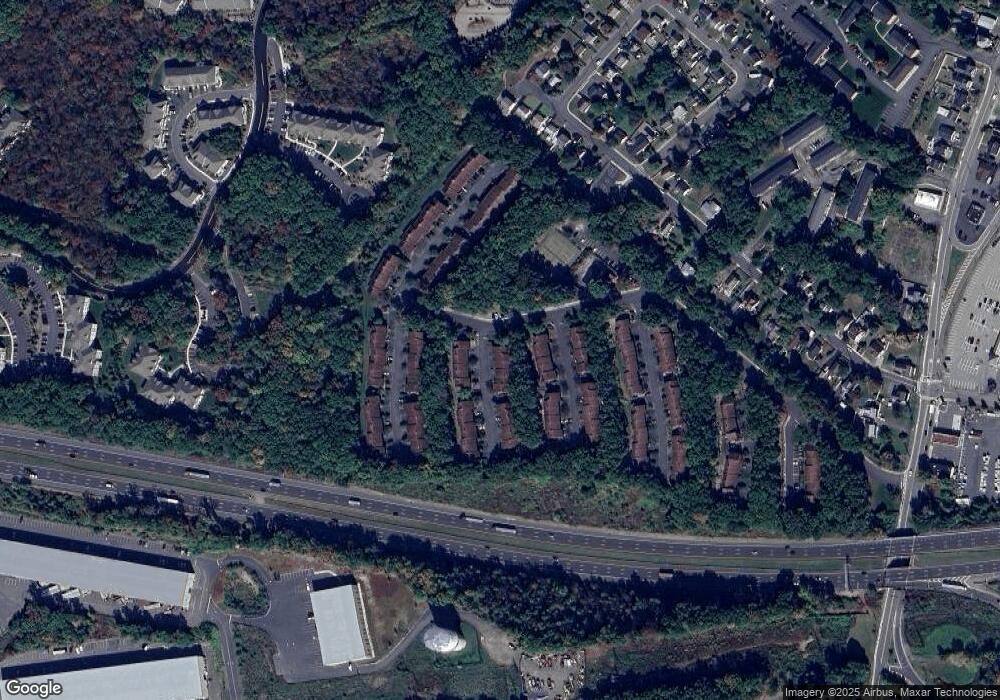
Map
Nearby Homes
- 19123 Westview Unit 19123
- 748 Upperway
- 23155 Westview
- 431 N Main St
- 33 Meadow Ave
- 322 Richard Mine Rd
- 322 Richard Mine Rd Unit 5
- 322 M5richard Mine Rd Unit 5
- 322 B9 Richard Mine Rd Unit 9
- 41 Kelly Ln
- 14 Kelly Ln
- 14 Oak Ln
- 7 Moreno Place
- 62 Union St
- 14 Little Ln
- 174 Baker Ave
- 75 White St
- 2 Mettle Ln
- 6 Gordon Rd
- 36 Kitchell Ave
- 1484 Topside
- 1485 Topside Unit 1485
- 1486 Topside Unit 1486
- 1488 Topside
- 1695 Topside Unit 1695F
- 1696 Topside Unit 1696B
- 1697 Topside Unit 1697B
- 1172 Treetops
- 1698 Topside
- 1171 Treetops Unit 1171F
- 1173 Treetops Unit 1173B
- 1699 Topside
- 102 Hillside
- 21138 Westview Unit 21138
- 103 Hillside Unit 1038
- 105 Hillside Unit 105B
- 104 Hillside Unit 104B
- 107 Hillside Unit 107B
- 1174 Treetops
- 16100 Topside
Your Personal Tour Guide
Ask me questions while you tour the home.