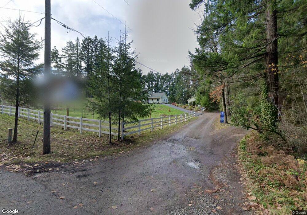
14831 Olympic View Loop Rd NW Silverdale, WA 98383
Olympic View NeighborhoodEstimated Value: $1,145,000 - $1,863,044
3
Beds
2
Baths
1,736
Sq Ft
$846/Sq Ft
Est. Value
About This Home
This home is located at 14831 Olympic View Loop Rd NW, Silverdale, WA 98383 and is currently estimated at $1,468,348, approximately $845 per square foot. 14831 Olympic View Loop Rd NW is a home located in Kitsap County with nearby schools including Cougar Valley Elementary School, Central Kitsap Middle School, and Central Kitsap High School.
Ownership History
Date
Name
Owned For
Owner Type
Purchase Details
Closed on
May 8, 2013
Sold by
Widemann Peter H and Widemann Sallyann
Bought by
Snavely Marshall D and Snavely Kay M
Current Estimated Value
Purchase Details
Closed on
Jun 28, 2011
Sold by
Wiedemann Peter H and Wiedemann Sally Ann
Bought by
Wiedemann Peter H and Wiedemann Sallyann
Purchase Details
Closed on
Jul 16, 2010
Sold by
Deardorf Charlotte R
Bought by
Wiedemann Peter H and Wiedemann Sally Ann
Create a Home Valuation Report for This Property
The Home Valuation Report is an in-depth analysis detailing your home's value as well as a comparison with similar homes in the area
Home Values in the Area
Average Home Value in this Area
Purchase History
| Date | Buyer | Sale Price | Title Company |
|---|---|---|---|
| Snavely Marshall D | $598,280 | Pacific Nw Title | |
| Wiedemann Peter H | -- | None Available | |
| Wiedemann Peter H | $645,280 | Stewart Title Of Kitsap Coun |
Source: Public Records
Tax History Compared to Growth
Tax History
| Year | Tax Paid | Tax Assessment Tax Assessment Total Assessment is a certain percentage of the fair market value that is determined by local assessors to be the total taxable value of land and additions on the property. | Land | Improvement |
|---|---|---|---|---|
| 2026 | $12,987 | $1,428,300 | $712,230 | $716,070 |
| 2025 | $12,987 | $1,428,300 | $712,230 | $716,070 |
| 2024 | $12,626 | $1,428,300 | $712,230 | $716,070 |
| 2023 | $10,081 | $1,132,790 | $538,970 | $593,820 |
| 2022 | $9,580 | $948,940 | $449,760 | $499,180 |
| 2021 | $9,187 | $865,630 | $408,870 | $456,760 |
| 2020 | $8,791 | $839,300 | $421,700 | $417,600 |
| 2019 | $7,491 | $691,870 | $416,800 | $275,070 |
| 2018 | $8,077 | $637,760 | $471,920 | $165,840 |
| 2017 | $7,906 | $637,760 | $471,920 | $165,840 |
| 2016 | $8,477 | $632,760 | $471,920 | $160,840 |
| 2015 | $8,116 | $632,760 | $471,920 | $160,840 |
| 2014 | -- | $572,720 | $429,020 | $143,700 |
| 2013 | -- | $572,720 | $429,020 | $143,700 |
Source: Public Records
Map
Nearby Homes
- 14925 Olympic View Loop Rd NW
- 13855 Olympic View Rd NW
- 17257 Olympic View Rd NW
- 5527 NW Lause Way
- 931 Whitney Rd
- 225 NKA Dietz Dr
- 777 NW Anderson Hill Rd
- 3761 NW Trigger Ave
- 901 Whitney Rd
- 4293 NW Westgate Rd
- 15800 Clear Creek Rd NW
- 3303 NW Half Mile Rd
- 171 Whitney Rd
- 10763 Armada Ave NW
- 10624 Treasure Dr NW Unit 106
- 10625 Treasure Dr NW
- 10625 Treasure Dr NW Unit 123
- 10637 Treasure Dr NW Unit 121
- 10637 Treasure Dr NW
- 10656 Treasure Dr NW Unit 107
- 6818 NW Brothers View Ln
- 14765 Olympic View Loop Rd NW
- 14685 Olympic View Loop Rd NW
- 6881 NW Brothers View Ln
- 14605 Olympic View Loop Rd NW
- 14605 Olympic View Loop Rd NW
- 14758 Olympic View Loop Rd NW
- 14849 Olympic View Loop Rd NW
- 14837 Olympic View Loop Rd NW
- 6855 NW Brothers View Ln
- 14575 Olympic View Loop Rd NW
- 6872 NW Brothers View Ln
- 14851 Olympic View Loop Rd NW
- 6873 NW Brothers View Ln
- 14855 Olympic View Loop Rd NW
- 14845 Olympic View Loop Rd NW
- 14937 Olympic View Loop Rd NW
- 14555 Olympic View Loop Rd NW
- 0 XX Olympic View Loop Rd NW
- 14711 Olympic View Rd NW