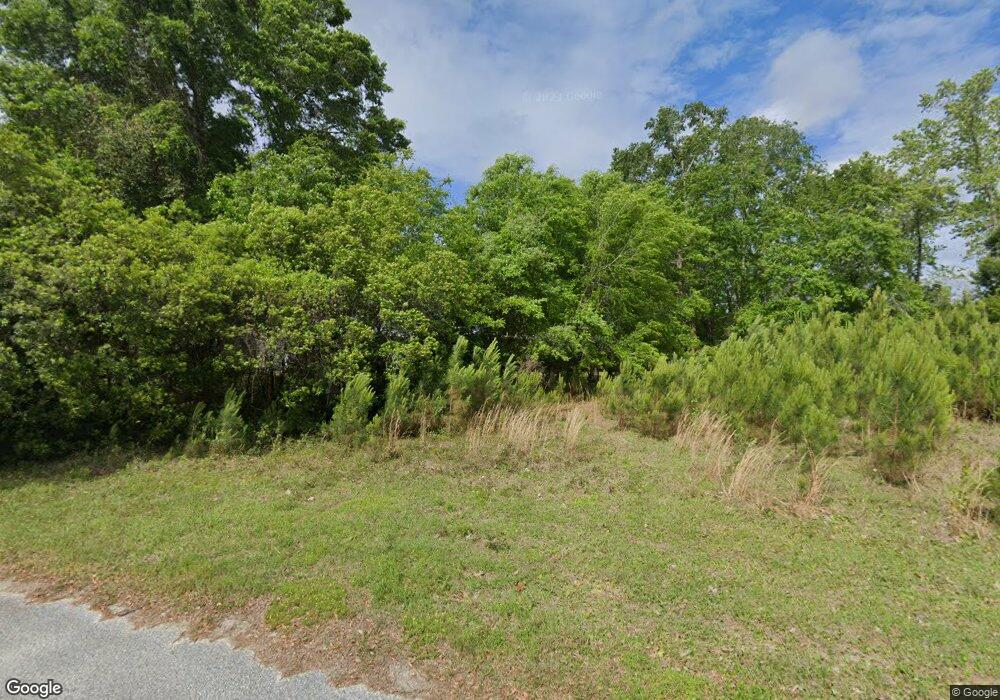
1484 Coles Dr Johns Island, SC 29455
Estimated Value: $380,338 - $484,000
3
Beds
2
Baths
968
Sq Ft
$453/Sq Ft
Est. Value
About This Home
This home is located at 1484 Coles Dr, Johns Island, SC 29455 and is currently estimated at $438,446, approximately $452 per square foot. 1484 Coles Dr is a home with nearby schools including Angel Oak Elementary School, Haut Gap Middle School, and St. Johns High School.
Ownership History
Date
Name
Owned For
Owner Type
Purchase Details
Closed on
Jul 13, 2023
Sold by
Backhoe Development Llc
Bought by
Coles Road Llc
Current Estimated Value
Purchase Details
Closed on
Nov 18, 2019
Sold by
Loy Sandra C
Bought by
Backhoe Development Llc
Home Financials for this Owner
Home Financials are based on the most recent Mortgage that was taken out on this home.
Original Mortgage
$30,000
Interest Rate
3.5%
Mortgage Type
Seller Take Back
Purchase Details
Closed on
Mar 29, 2019
Sold by
Coles Frances W
Bought by
Coker William
Purchase Details
Closed on
Dec 11, 2013
Sold by
Coles Samuel and Coles Samuel
Bought by
Coles Frances W
Purchase Details
Closed on
Feb 22, 2011
Sold by
Coles Frances W
Bought by
Coles Samuel and Coles Ii Samuel
Purchase Details
Closed on
Jan 7, 2011
Sold by
Estate Of Edward Nathaniel Coles
Bought by
Coles Frances W
Create a Home Valuation Report for This Property
The Home Valuation Report is an in-depth analysis detailing your home's value as well as a comparison with similar homes in the area
Home Values in the Area
Average Home Value in this Area
Purchase History
| Date | Buyer | Sale Price | Title Company |
|---|---|---|---|
| Coles Road Llc | $35,000 | None Listed On Document | |
| Backhoe Development Llc | $30,000 | None Available | |
| Coker William | $31,000 | None Available | |
| Coles Frances W | -- | -- | |
| Coles Samuel | -- | -- | |
| Coles Frances W | -- | -- |
Source: Public Records
Mortgage History
| Date | Status | Borrower | Loan Amount |
|---|---|---|---|
| Previous Owner | Backhoe Development Llc | $30,000 |
Source: Public Records
Tax History Compared to Growth
Tax History
| Year | Tax Paid | Tax Assessment Tax Assessment Total Assessment is a certain percentage of the fair market value that is determined by local assessors to be the total taxable value of land and additions on the property. | Land | Improvement |
|---|---|---|---|---|
| 2024 | $2,385 | $9,590 | $0 | $0 |
| 2023 | $2,385 | $3,900 | $0 | $0 |
| 2022 | $949 | $3,900 | $0 | $0 |
| 2021 | $939 | $3,900 | $0 | $0 |
| 2020 | $926 | $3,900 | $0 | $0 |
| 2019 | $493 | $2,100 | $0 | $0 |
| 2016 | $475 | $2,100 | $0 | $0 |
| 2015 | $433 | $2,100 | $0 | $0 |
| 2014 | $423 | $0 | $0 | $0 |
| 2011 | -- | $0 | $0 | $0 |
Source: Public Records
Map
Nearby Homes
- 00 Remington Trail
- 000 Remington Trail
- 5528 Chisolm Rd
- 5261 Chisolm Rd
- 3910 Benjamin Rd
- 0 Benjamin Rd Unit 23007249
- 1855 Long Creek Rd
- 6076 Overlook Rd
- 1628 Point Park Dr
- 6084 Overlook Rd
- 5130 Cranesbill Way
- 3950 Humbert Rd
- 0 Back Pen Rd
- 3109 Hugh Bennett Dr
- 4917 Hideaway Pointe
- Summerwood Plan at Sea Island Preserve - The Palmetto Series
- Martin Ray Plan at Sea Island Preserve - The Palmetto Series
- Woodward Plan at Sea Island Preserve - The Palmetto Series
- Vanderbilt Plan at Sea Island Preserve - The Palmetto Series
- Dunwoody Way Plan at Sea Island Preserve - The Palmetto Series
