14844 Tejon St Broomfield, CO 80023
North Broomfield NeighborhoodEstimated Value: $1,507,000 - $1,827,486
4
Beds
4
Baths
5,435
Sq Ft
$314/Sq Ft
Est. Value
About This Home
This home is located at 14844 Tejon St, Broomfield, CO 80023 and is currently estimated at $1,708,162, approximately $314 per square foot. 14844 Tejon St is a home located in Adams County with nearby schools including Meridian Elementary School, Rocky Top Middle School, and Legacy High School.
Ownership History
Date
Name
Owned For
Owner Type
Purchase Details
Closed on
Mar 1, 2023
Sold by
Divirgilio John A and Divirgilio Robyn K
Bought by
Divirgilio Family Trust
Current Estimated Value
Purchase Details
Closed on
Oct 13, 1995
Sold by
Chevarria Michael M and Chevarria Joyce L
Bought by
Divirgilio John A and Divirgilio Robyn K
Home Financials for this Owner
Home Financials are based on the most recent Mortgage that was taken out on this home.
Original Mortgage
$165,000
Interest Rate
7.62%
Create a Home Valuation Report for This Property
The Home Valuation Report is an in-depth analysis detailing your home's value as well as a comparison with similar homes in the area
Home Values in the Area
Average Home Value in this Area
Purchase History
| Date | Buyer | Sale Price | Title Company |
|---|---|---|---|
| Divirgilio Family Trust | -- | None Listed On Document | |
| Divirgilio John A | $269,950 | -- |
Source: Public Records
Mortgage History
| Date | Status | Borrower | Loan Amount |
|---|---|---|---|
| Previous Owner | Divirgilio John A | $165,000 |
Source: Public Records
Tax History Compared to Growth
Tax History
| Year | Tax Paid | Tax Assessment Tax Assessment Total Assessment is a certain percentage of the fair market value that is determined by local assessors to be the total taxable value of land and additions on the property. | Land | Improvement |
|---|---|---|---|---|
| 2024 | $10,948 | $96,270 | $20,160 | $76,110 |
| 2023 | $10,836 | $105,160 | $21,820 | $83,340 |
| 2022 | $7,777 | $67,810 | $17,830 | $49,980 |
| 2021 | $8,029 | $67,810 | $17,830 | $49,980 |
| 2020 | $7,496 | $64,530 | $18,340 | $46,190 |
| 2019 | $7,502 | $64,530 | $18,340 | $46,190 |
| 2018 | $6,664 | $55,720 | $15,120 | $40,600 |
| 2017 | $6,080 | $55,720 | $15,120 | $40,600 |
| 2016 | $4,972 | $44,370 | $10,030 | $34,340 |
| 2015 | $4,961 | $44,370 | $10,030 | $34,340 |
| 2014 | -- | $40,500 | $9,070 | $31,430 |
Source: Public Records
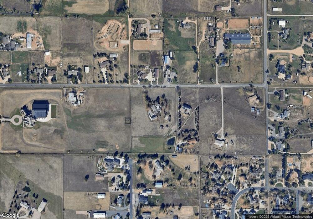
Map
Nearby Homes
- 1981 W 149th Ave
- 14650 Tejon St
- 1545 W 148th Ave
- 14570 Zuni St
- 1341 W 152nd Ave Unit 1
- 2370 W 152nd Ave
- 14582 Homestead Place
- 2466 Spruce Meadows Dr
- 2600 High Prairie Way
- 1857 W 153rd Place
- 15102 Prairie Place
- 15355 Zuni St
- 14370 Osage St
- 2675 Spruce Meadows Dr
- 14300 Waterside Ln Unit I2
- 14300 Waterside Ln Unit E3
- 15308 Spruce St
- 14330 Lakeview Ln
- 2488 Lake Vista Dr
- 15528 Navajo St
- 14882 Shoshone St
- 1881 W 149th Ave
- 14832 Shoshone St
- 14941 Raritan St
- 14800 Tejon St
- 2081 W 149th Ave
- 14781 Tejon St
- 1740 W 149th Ave
- 10303 W 150th Ave
- 9963 W 150th Ave
- 1990 W 150th Ave
- 14761 Tejon St
- 2190 W 149th Ave
- 14971 Raritan St
- 14985 Raritan St
- 14811 Pecos St
- 2181 W 149th Ave
- 14817 Pecos St
- 14730 Tejon St
- 14741 Tejon St