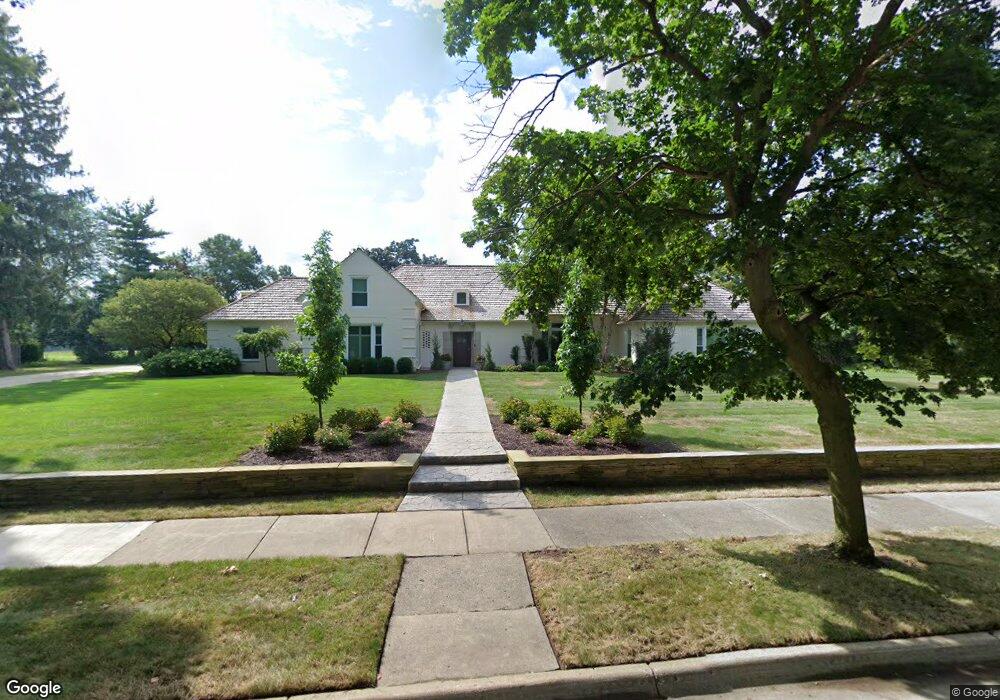
1485 Cambridge Rd Lansing, MI 48911
Moores River Drive NeighborhoodEstimated Value: $735,000 - $1,296,000
6
Beds
6
Baths
7,576
Sq Ft
$120/Sq Ft
Est. Value
About This Home
This home is located at 1485 Cambridge Rd, Lansing, MI 48911 and is currently estimated at $911,033, approximately $120 per square foot. 1485 Cambridge Rd is a home located in Ingham County with nearby schools including Averill Elementary School, Pattengill Academy, and J.W. Sexton High School.
Ownership History
Date
Name
Owned For
Owner Type
Purchase Details
Closed on
Nov 2, 2020
Sold by
Mcleod Michael K and Mcleod Terry L
Bought by
Mcleod Michael K and Mcleod Terry L
Current Estimated Value
Purchase Details
Closed on
Sep 2, 2009
Sold by
Abood Jerome F and Abood Heather Z
Bought by
Mcleod Michael K and Mcleod Terry L
Home Financials for this Owner
Home Financials are based on the most recent Mortgage that was taken out on this home.
Original Mortgage
$417,000
Outstanding Balance
$272,716
Interest Rate
5.19%
Mortgage Type
New Conventional
Estimated Equity
$638,317
Purchase Details
Closed on
Jan 7, 2005
Sold by
Abood Patricia L and Abood Fredric S
Bought by
Abood Jerome F and Abood Heather Z
Home Financials for this Owner
Home Financials are based on the most recent Mortgage that was taken out on this home.
Original Mortgage
$500,000
Interest Rate
5.83%
Mortgage Type
Stand Alone Refi Refinance Of Original Loan
Create a Home Valuation Report for This Property
The Home Valuation Report is an in-depth analysis detailing your home's value as well as a comparison with similar homes in the area
Home Values in the Area
Average Home Value in this Area
Purchase History
| Date | Buyer | Sale Price | Title Company |
|---|---|---|---|
| Mcleod Michael K | -- | None Available | |
| Mcleod Michael K | $580,000 | Tri Title Agency Llc | |
| Abood Jerome F | -- | Chicago Title Insurance Co |
Source: Public Records
Mortgage History
| Date | Status | Borrower | Loan Amount |
|---|---|---|---|
| Open | Mcleod Michael K | $417,000 | |
| Previous Owner | Abood Jerome F | $500,000 |
Source: Public Records
Tax History Compared to Growth
Tax History
| Year | Tax Paid | Tax Assessment Tax Assessment Total Assessment is a certain percentage of the fair market value that is determined by local assessors to be the total taxable value of land and additions on the property. | Land | Improvement |
|---|---|---|---|---|
| 2025 | $14,257 | $370,800 | $72,900 | $297,900 |
| 2024 | $117 | $390,200 | $72,900 | $317,300 |
| 2023 | $13,349 | $359,600 | $62,300 | $297,300 |
| 2022 | $12,000 | $325,100 | $57,100 | $268,000 |
| 2021 | $11,749 | $296,000 | $31,200 | $264,800 |
| 2020 | $11,681 | $268,500 | $33,800 | $234,700 |
| 2019 | $11,218 | $257,000 | $33,800 | $223,200 |
| 2018 | $10,487 | $228,800 | $33,800 | $195,000 |
| 2017 | $10,047 | $228,800 | $33,800 | $195,000 |
| 2016 | $9,607 | $206,300 | $33,800 | $172,500 |
| 2015 | $9,607 | $192,600 | $67,538 | $125,062 |
| 2014 | $9,607 | $186,200 | $67,538 | $118,662 |
Source: Public Records
Map
Nearby Homes
- 1533 Cambridge Rd
- 1740 Wellington Rd Unit 103
- 2505 Hanover Dr
- 2200 Rossiter Place
- 2201 Pamela Place
- 1912 Moores River Dr
- 3310 W Mount Hope Ave
- 2418 Rossiter Place
- 3333 Moores River Dr Unit 812
- 2000 William St
- 1511 Pattengill Ave
- 1516 Moores River Dr
- 1901 W Malcolm x St
- 3508 Muirfield Dr
- 2710 Bedford Rd
- 1309 Hammond St
- 2409 Victor Ave
- 3601 Muirfield Dr
- 1615 William St
- 1315 Goodrich St
- 1501 Cambridge Rd
- 1461 Cambridge Rd
- 1474 Cambridge Rd
- 1462 Cambridge Rd
- 1457 Cambridge Rd
- 1521 Cambridge Rd
- 1452 Cambridge Rd
- 1445 Cambridge Rd
- 1525 Cambridge Rd
- 1444 Cambridge Rd
- 2583 Oxford Rd
- 1532 Cambridge Rd
- 1435 Cambridge Rd
- 1529 Cambridge Rd
- 1436 Cambridge Rd
- 2575 Oxford Rd
- 2730 N Cambridge Rd
- 1428 Cambridge Rd
- 1425 Cambridge Rd
- 1651 Nottingham Rd