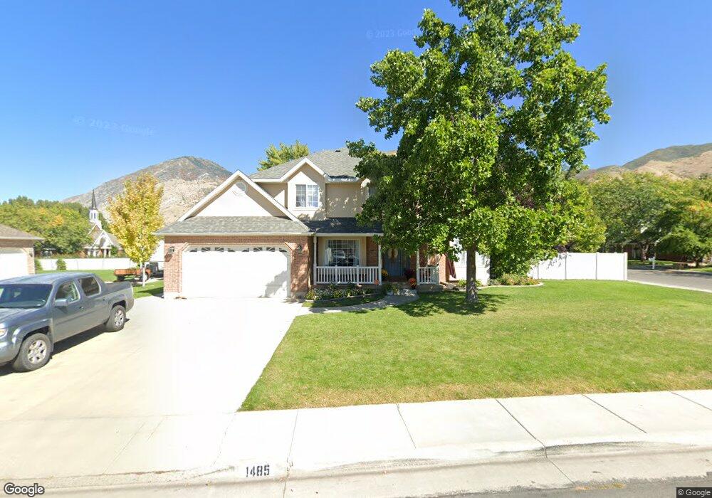
1485 E 975 S Springville, UT 84663
East Hobble Creek NeighborhoodEstimated Value: $780,446 - $855,000
6
Beds
3
Baths
2,880
Sq Ft
$290/Sq Ft
Est. Value
About This Home
This home is located at 1485 E 975 S, Springville, UT 84663 and is currently estimated at $834,362, approximately $289 per square foot. 1485 E 975 S is a home located in Utah County with nearby schools including Sage Creek Elementary, Springville High School, and Springville Junior High School.
Ownership History
Date
Name
Owned For
Owner Type
Purchase Details
Closed on
Oct 10, 2007
Sold by
Fischer Lane and Fischer Rebecca A
Bought by
Walker David and Walker Marci
Current Estimated Value
Home Financials for this Owner
Home Financials are based on the most recent Mortgage that was taken out on this home.
Original Mortgage
$376,000
Outstanding Balance
$237,062
Interest Rate
6.4%
Mortgage Type
Purchase Money Mortgage
Estimated Equity
$597,300
Create a Home Valuation Report for This Property
The Home Valuation Report is an in-depth analysis detailing your home's value as well as a comparison with similar homes in the area
Home Values in the Area
Average Home Value in this Area
Purchase History
| Date | Buyer | Sale Price | Title Company |
|---|---|---|---|
| Walker David | -- | Old Republic Title Company |
Source: Public Records
Mortgage History
| Date | Status | Borrower | Loan Amount |
|---|---|---|---|
| Open | Walker David | $376,000 |
Source: Public Records
Tax History
| Year | Tax Paid | Tax Assessment Tax Assessment Total Assessment is a certain percentage of the fair market value that is determined by local assessors to be the total taxable value of land and additions on the property. | Land | Improvement |
|---|---|---|---|---|
| 2025 | $3,839 | $388,135 | -- | -- |
| 2024 | $3,839 | $393,305 | $0 | $0 |
| 2023 | $3,980 | $408,210 | $0 | $0 |
| 2022 | $3,805 | $383,240 | $0 | $0 |
| 2021 | $3,249 | $509,400 | $172,500 | $336,900 |
| 2020 | $3,003 | $456,400 | $138,000 | $318,400 |
| 2019 | $2,728 | $422,100 | $134,100 | $288,000 |
| 2018 | $2,859 | $422,100 | $134,100 | $288,000 |
| 2017 | $2,712 | $212,630 | $0 | $0 |
| 2016 | $2,468 | $189,750 | $0 | $0 |
| 2015 | $2,186 | $171,765 | $0 | $0 |
| 2014 | $1,945 | $151,855 | $0 | $0 |
Source: Public Records
Map
Nearby Homes
- 1518 E Pheasant Run Dr
- 1618 E 970 S
- 1264 E 1150 S
- 1839 River Bottom Rd
- 557 S 1470 E
- 949 S 1060 E
- 59 E 775 S Unit 21
- 52 E 775 S Unit 19
- 145 W Carnesecca Ct
- 1697 N 500 W
- 1092 Valley Sage Dr
- 1096 Valley Sage Dr
- 598 W 1600 N
- 1361 E 400 S
- 899 E 800 S
- 829 S 2200 E
- 883 E 700 S
- 1121 W 1800 N
- 1350 N Main St
- 1130 Hillcrest Dr
- 1447 E 975 S
- 1533 E 950 S
- 1533 E Pheasant Run Dr
- 1555 E 970 S
- 1537 E 970 S
- 1566 E 970 S
- 1518 E 950 S
- 1511 E Pheasant Run Dr
- 1526 E Pheasant Run Dr
- 1425 E 975 S
- 1512 E Pheasant Run Dr
- 1485 E 950 S
- 1532 E Pheasant Run Dr
- 1549 E Pheasant Run Dr
- 1454 E 975 S
- 1503 E Pheasant Run Dr
- 1583 E 970 S
- 968 S 1600 E
- 1504 E Pheasant Run Dr
- 1550 E Pheasant Run Dr
Your Personal Tour Guide
Ask me questions while you tour the home.