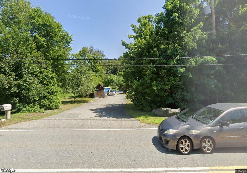
1485 Main St Waltham, MA 02451
Estimated Value: $1,211,000 - $1,414,000
6
Beds
3
Baths
4,029
Sq Ft
$324/Sq Ft
Est. Value
About This Home
This home is located at 1485 Main St, Waltham, MA 02451 and is currently estimated at $1,306,080, approximately $324 per square foot. 1485 Main St is a home located in Middlesex County with nearby schools including Thomas R Plympton Elementary School, John F Kennedy Middle School, and Waltham Sr High School.
Ownership History
Date
Name
Owned For
Owner Type
Purchase Details
Closed on
Feb 6, 2024
Sold by
Schildkraut E R E and Schildkraut Diane
Bought by
Schildkraut Ft and Schildkraut
Current Estimated Value
Purchase Details
Closed on
Apr 30, 1999
Sold by
Bonadio Michael
Bought by
Schildkraut E Robert E and Schildkraut Diane
Home Financials for this Owner
Home Financials are based on the most recent Mortgage that was taken out on this home.
Original Mortgage
$240,000
Interest Rate
6.95%
Mortgage Type
Purchase Money Mortgage
Purchase Details
Closed on
Nov 12, 1996
Sold by
Spinelli Charles M and Spinelli Louise J
Bought by
Bonadio Michael
Home Financials for this Owner
Home Financials are based on the most recent Mortgage that was taken out on this home.
Original Mortgage
$188,000
Interest Rate
8.1%
Mortgage Type
Purchase Money Mortgage
Create a Home Valuation Report for This Property
The Home Valuation Report is an in-depth analysis detailing your home's value as well as a comparison with similar homes in the area
Home Values in the Area
Average Home Value in this Area
Purchase History
| Date | Buyer | Sale Price | Title Company |
|---|---|---|---|
| Schildkraut Ft | -- | None Available | |
| Schildkraut E Robert E | $399,900 | -- | |
| Bonadio Michael | $267,500 | -- | |
| Bonadio Michael | $267,500 | -- |
Source: Public Records
Mortgage History
| Date | Status | Borrower | Loan Amount |
|---|---|---|---|
| Previous Owner | Bonadio Michael | $119,331 | |
| Previous Owner | Bonadio Michael | $240,000 | |
| Previous Owner | Bonadio Michael | $188,000 |
Source: Public Records
Tax History Compared to Growth
Tax History
| Year | Tax Paid | Tax Assessment Tax Assessment Total Assessment is a certain percentage of the fair market value that is determined by local assessors to be the total taxable value of land and additions on the property. | Land | Improvement |
|---|---|---|---|---|
| 2025 | $9,783 | $996,200 | $465,900 | $530,300 |
| 2024 | $8,933 | $926,700 | $457,400 | $469,300 |
| 2023 | $8,695 | $842,500 | $414,900 | $427,600 |
| 2022 | $8,855 | $794,900 | $380,900 | $414,000 |
| 2021 | $8,802 | $777,600 | $380,900 | $396,700 |
| 2020 | $8,917 | $746,200 | $355,400 | $390,800 |
| 2019 | $8,148 | $643,600 | $335,500 | $308,100 |
| 2018 | $4,924 | $588,800 | $304,300 | $284,500 |
| 2017 | $7,054 | $561,600 | $277,100 | $284,500 |
| 2016 | $6,896 | $563,400 | $278,900 | $284,500 |
| 2015 | $6,891 | $524,800 | $244,900 | $279,900 |
Source: Public Records
Map
Nearby Homes
- 17 Lexington St
- 202 Bear Hill Rd
- 15 Whitney Tavern Rd
- 120 Church St
- 6 Overlook Dr
- 11 Winthrop Cir
- 51 Church St
- 60 Rolling Ln
- 79-81 Vernon St
- 948 Main St Unit 209
- 948 Main St Unit 105
- 91 Prentice St
- 15 Banks St Unit 4
- 43-45 Welligton Unit 3
- 14 Willard St
- 167 Conant Rd
- 37 Summit St
- 4 Willow Rd
- 3 October Ln
- 39 Floyd St Unit 2
- 1481 Main St
- 1489 Main St
- 1 North Ave
- 2 North Ave
- 2 North Ave Unit singlefam
- 1460 Main St
- 10 North Ave
- 10 North Ave
- 10 North Ave Unit B
- 1474 Main St
- 56 Forest Ridge Rd
- 145 Black Bear Dr Unit FL2-ID1050356P
- 15 Ellis Rd
- 48 Forest Ridge Rd
- 9 Ellis Rd
- 0 Forest Ridge Rd
- 40 Forest Ridge Rd
- 9 Ellis Rd Unit 9
- 3 Ellis Rd
- 30 North Ave
