1485 Us Highway 136 Atlanta, IL 61723
Estimated Value: $143,000 - $242,000
3
Beds
--
Bath
1,186
Sq Ft
$155/Sq Ft
Est. Value
About This Home
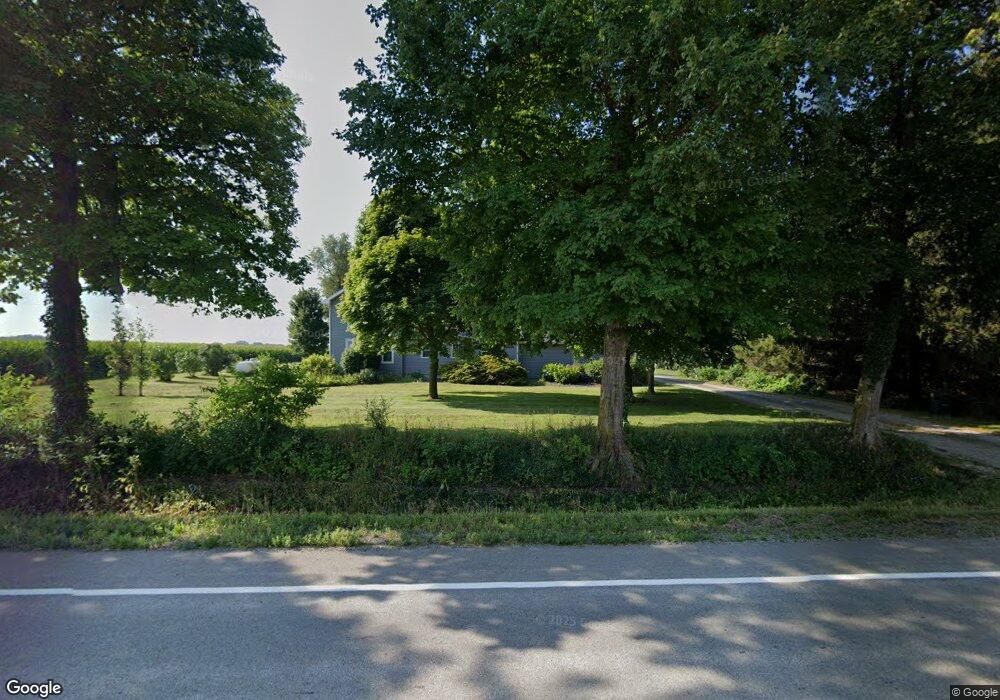
This home is located at 1485 Us Highway 136, Atlanta, IL 61723 and is currently estimated at $183,391, approximately $154 per square foot. 1485 Us Highway 136 is a home located in Logan County with nearby schools including Olympia High School.
Ownership History
Date
Name
Owned For
Owner Type
Purchase Details
Closed on
Jul 28, 2010
Sold by
Atteberry Donna J
Bought by
Grey David R and Grey Amanda R
Current Estimated Value
Home Financials for this Owner
Home Financials are based on the most recent Mortgage that was taken out on this home.
Original Mortgage
$97,016
Outstanding Balance
$64,428
Interest Rate
4.63%
Mortgage Type
Stand Alone First
Estimated Equity
$118,963
Create a Home Valuation Report for This Property
The Home Valuation Report is an in-depth analysis detailing your home's value as well as a comparison with similar homes in the area
Home Values in the Area
Average Home Value in this Area
Purchase History
| Date | Buyer | Sale Price | Title Company |
|---|---|---|---|
| Grey David R | -- | -- |
Source: Public Records
Mortgage History
| Date | Status | Borrower | Loan Amount |
|---|---|---|---|
| Open | Grey David R | $97,016 |
Source: Public Records
Tax History Compared to Growth
Tax History
| Year | Tax Paid | Tax Assessment Tax Assessment Total Assessment is a certain percentage of the fair market value that is determined by local assessors to be the total taxable value of land and additions on the property. | Land | Improvement |
|---|---|---|---|---|
| 2024 | $2,779 | $39,390 | $4,160 | $35,230 |
| 2023 | $2,555 | $36,480 | $3,840 | $32,640 |
| 2022 | $2,363 | $34,020 | $3,570 | $30,450 |
| 2021 | $2,267 | $32,750 | $3,420 | $29,330 |
| 2020 | $2,283 | $32,720 | $3,390 | $29,330 |
| 2019 | $2,279 | $32,700 | $3,370 | $29,330 |
| 2018 | $1,944 | $31,430 | $3,220 | $28,210 |
| 2017 | $1,951 | $31,410 | $3,200 | $28,210 |
| 2016 | $1,961 | $31,760 | $3,220 | $28,540 |
| 2015 | $1,617 | $27,850 | $3,090 | $24,760 |
| 2014 | $1,617 | $27,850 | $3,090 | $24,760 |
| 2013 | $1,617 | $25,720 | $2,850 | $22,870 |
| 2012 | $1,617 | $26,080 | $2,880 | $23,200 |
Source: Public Records
Map
Nearby Homes
- 307 N Vine St
- 5 Sunnyside Estates
- 7 Sunnyside Estates
- 1517 W Lake Ct
- 46 N Lake Dr
- Lot 46 E Lake Ct
- 610 SE Vine St
- 18 Lincoln St
- 2988 N 400 Rd E
- 180 N 400 East Rd
- 212 E Garfield St
- 1842 Castle Pine Place
- 302 N Minier Ave
- 719 Schilpp Ct
- 2354 Railsplitter Ave
- 2294 Railsplitter Ave
- 407 W Boundary St
- 305 W Boundary St
- 106 W Boundary St
- 405 W Carter St