14850 State Route E Savannah, MO 64485
Estimated Value: $393,000 - $541,940
3
Beds
3
Baths
2,557
Sq Ft
$176/Sq Ft
Est. Value
About This Home
This home is located at 14850 State Route E, Savannah, MO 64485 and is currently estimated at $449,313, approximately $175 per square foot. 14850 State Route E is a home with nearby schools including Minnie Cline Elementary School and Savannah Middle School.
Ownership History
Date
Name
Owned For
Owner Type
Purchase Details
Closed on
Mar 1, 2010
Sold by
Merritt Tracy S
Bought by
Sponaugle Rainer and Sponaugle Robyn D
Current Estimated Value
Home Financials for this Owner
Home Financials are based on the most recent Mortgage that was taken out on this home.
Original Mortgage
$180,500
Outstanding Balance
$118,155
Interest Rate
4.97%
Mortgage Type
Purchase Money Mortgage
Estimated Equity
$331,158
Create a Home Valuation Report for This Property
The Home Valuation Report is an in-depth analysis detailing your home's value as well as a comparison with similar homes in the area
Purchase History
| Date | Buyer | Sale Price | Title Company |
|---|---|---|---|
| Sponaugle Rainer | -- | -- |
Source: Public Records
Mortgage History
| Date | Status | Borrower | Loan Amount |
|---|---|---|---|
| Open | Sponaugle Rainer | $180,500 |
Source: Public Records
Tax History
| Year | Tax Paid | Tax Assessment Tax Assessment Total Assessment is a certain percentage of the fair market value that is determined by local assessors to be the total taxable value of land and additions on the property. | Land | Improvement |
|---|---|---|---|---|
| 2025 | $2,165 | $37,820 | $1,880 | $35,940 |
| 2024 | $2,165 | $34,000 | $1,880 | $32,120 |
| 2023 | $2,043 | $34,000 | $1,880 | $32,120 |
| 2022 | $1,649 | $27,490 | $1,880 | $25,610 |
| 2021 | $1,572 | $27,490 | $1,880 | $25,610 |
| 2020 | $1,543 | $27,490 | $1,880 | $25,610 |
| 2019 | $1,545 | $27,490 | $1,880 | $25,610 |
| 2018 | $1,545 | $27,530 | $1,920 | $25,610 |
| 2017 | $1,585 | $27,530 | $1,920 | $25,610 |
| 2016 | $1,579 | $27,530 | $1,920 | $25,610 |
| 2015 | -- | $27,530 | $1,920 | $25,610 |
| 2011 | -- | $147,100 | $11,340 | $135,760 |
Source: Public Records
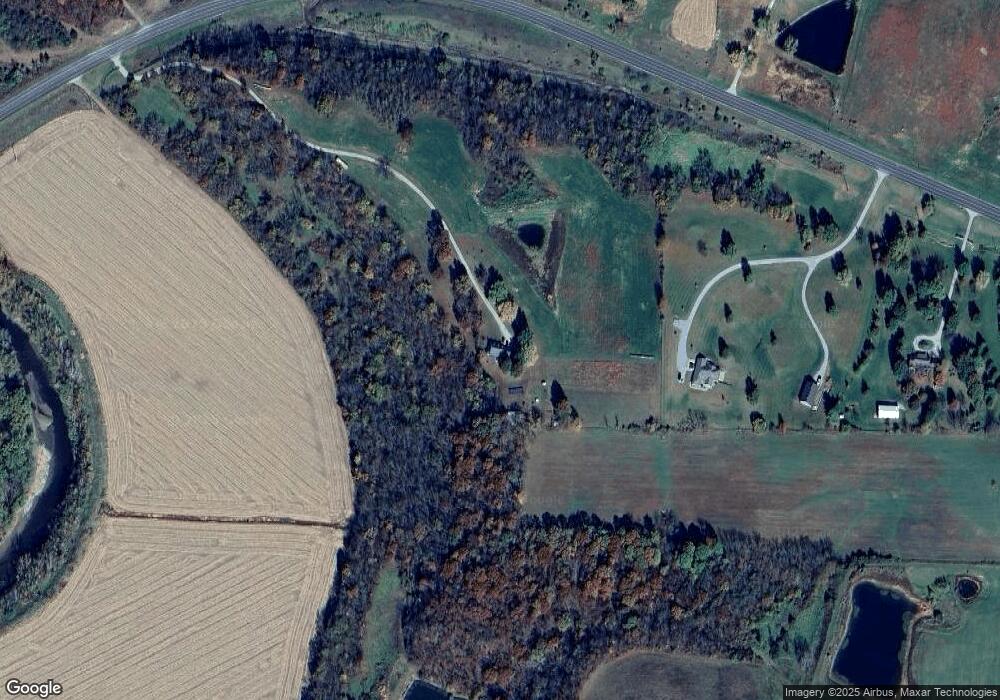
Map
Nearby Homes
- 1005 E Pearl Ct
- 201 N Cedar St
- 8796 County Road 186
- 702 E Maple Place
- 508 E Price Ave
- 1109 S Catalpa St
- 1112 S Beech St
- Tract 2 Private Drive 3394
- Tract 1 Private Drive 3394
- 12238 Private Road 4442
- 408 N 1st St
- 105 W Price Ave
- 502 S 2nd St
- 301 N 5th St
- 203 S 6th St
- 904 S 5th St
- 0 W Duncan Dr
- 503 W Elk St
- 206 N 8th St
- Tract 3 County Road 344
- 12988 State Route D
- 15322 State Route E
- 0 State Route E Lot 1a N A Unit HMS2389650
- 0 State Route E Lot 1b N A Unit HMS2389666
- 15215 State Route E Lot B N A
- 15215 State Route E
- 15215 State Route E
- 12826 State Route D
- 12936 State Route D
- 12936 State Route D
- 14610 State Route E
- 12450 State Route D
- 15595 County Road 322
- 14525 Riverview Dr
- 14487 Riverview Dr
- 14504 State Route E
- 15146 County Road 194
- 14472 Riverview Dr
- 14465 Riverview Dr
- 14446 State Route E
Your Personal Tour Guide
Ask me questions while you tour the home.