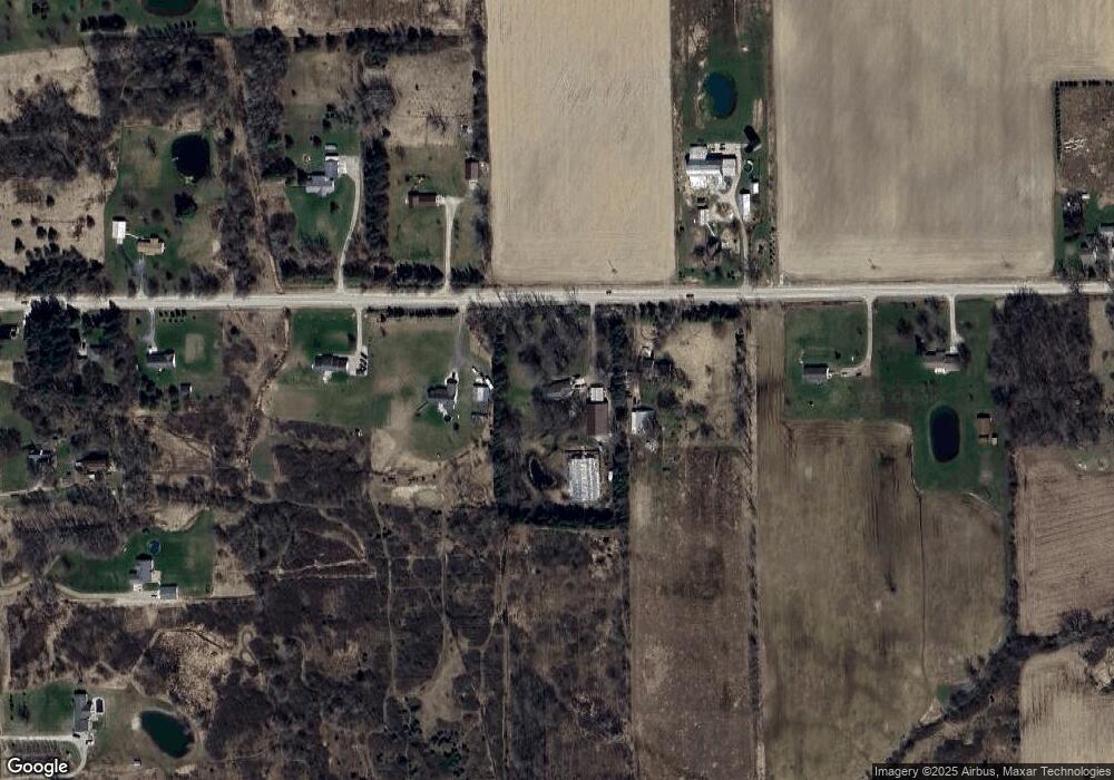
14855 Sullivan Rd Mussey, MI 48014
Mussey Township NeighborhoodEstimated Value: $356,966 - $373,000
--
Bed
--
Bath
1,619
Sq Ft
$227/Sq Ft
Est. Value
About This Home
This home is located at 14855 Sullivan Rd, Mussey, MI 48014 and is currently estimated at $367,242, approximately $226 per square foot. 14855 Sullivan Rd is a home located in St. Clair County with nearby schools including Capac Elementary School and Capac Jr./Sr. High School.
Ownership History
Date
Name
Owned For
Owner Type
Purchase Details
Closed on
Feb 21, 2023
Sold by
Clowers Judith M
Bought by
Clowers Judith M and Clowers Jay A
Current Estimated Value
Purchase Details
Closed on
Aug 30, 2006
Sold by
Tupper Michael
Bought by
Clower Judith M
Home Financials for this Owner
Home Financials are based on the most recent Mortgage that was taken out on this home.
Original Mortgage
$176,000
Interest Rate
6.7%
Mortgage Type
New Conventional
Create a Home Valuation Report for This Property
The Home Valuation Report is an in-depth analysis detailing your home's value as well as a comparison with similar homes in the area
Home Values in the Area
Average Home Value in this Area
Purchase History
| Date | Buyer | Sale Price | Title Company |
|---|---|---|---|
| Clowers Judith M | -- | -- | |
| Clower Judith M | $220,000 | Metropolitan Title Company |
Source: Public Records
Mortgage History
| Date | Status | Borrower | Loan Amount |
|---|---|---|---|
| Previous Owner | Clower Judith M | $176,000 |
Source: Public Records
Tax History Compared to Growth
Tax History
| Year | Tax Paid | Tax Assessment Tax Assessment Total Assessment is a certain percentage of the fair market value that is determined by local assessors to be the total taxable value of land and additions on the property. | Land | Improvement |
|---|---|---|---|---|
| 2025 | $2,828 | $168,100 | $0 | $0 |
| 2024 | $2,267 | $141,800 | $0 | $0 |
| 2023 | $939 | $121,000 | $0 | $0 |
| 2022 | $894 | $106,300 | $0 | $0 |
| 2021 | $2,288 | $100,000 | $0 | $0 |
| 2020 | $2,288 | $99,900 | $20,000 | $79,900 |
| 2019 | $2,193 | $88,100 | $0 | $0 |
| 2018 | $1,895 | $83,600 | $0 | $0 |
| 2017 | $0 | $77,400 | $0 | $0 |
| 2016 | $0 | $77,400 | $0 | $0 |
| 2015 | -- | $71,300 | $18,100 | $53,200 |
| 2014 | -- | $68,200 | $17,100 | $51,100 |
| 2013 | -- | $68,200 | $0 | $0 |
Source: Public Records
Map
Nearby Homes
- 00 Capac Rd
- 5867 Capac Rd
- 0 Nettney Rd Unit 50185355
- 5050 Burton Rd
- 6215 Sterling Rd
- TBD Sterling Rd
- 0 Downey Vl Rd
- 0000 Hackman Rd
- 0 W Park (Lot 8) St Unit 50175949
- 39 W Deer Park S
- 0 Capac Rd Unit 216015459
- 503 N Walker St
- 538 N Neeper St
- 530 N Glassford St
- 13566 Kaufman Rd
- 314 N Lester St
- 209 W Aldrich St
- 401 E Mill St
- 14650 Bryce Rd
- 15594 Bryce Rd
- 14835 Sullivan Rd
- 14885 Sullivan Rd
- 14787 Sullivan Rd
- 14901 Sullivan Rd
- 14888 Sullivan Rd
- 14820 Sullivan Rd
- 14775 Sullivan Rd
- 14902 Sullivan Rd
- 5440 Capac Rd
- 14842 Alma Ln
- 14842 Alma Ln
- 14949 Sullivan Rd
- 14860 Alma Ln
- 14993 Sullivan Rd
- 14950 Sullivan Rd
- 00 Alma Ln
- 5460 Capac Rd
- 5400 Capac Rd
- 14730 Sullivan Rd
- 0 Capac Vl Rd Unit 50164728
