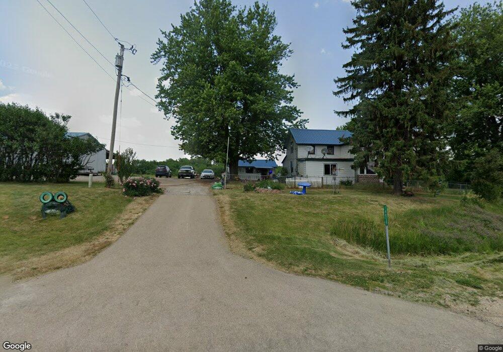
14859 Us Highway 52 Mount Carroll, IL 61053
Estimated Value: $96,794 - $239,000
3
Beds
1
Bath
1,306
Sq Ft
$138/Sq Ft
Est. Value
About This Home
This home is located at 14859 Us Highway 52, Mount Carroll, IL 61053 and is currently estimated at $180,199, approximately $137 per square foot. 14859 Us Highway 52 is a home located in Carroll County.
Ownership History
Date
Name
Owned For
Owner Type
Purchase Details
Closed on
Dec 23, 2024
Sold by
Bradshaw Ronald
Bought by
Herman Justin A
Current Estimated Value
Home Financials for this Owner
Home Financials are based on the most recent Mortgage that was taken out on this home.
Original Mortgage
$192,027
Outstanding Balance
$185,227
Interest Rate
0.59%
Mortgage Type
Construction
Estimated Equity
-$5,028
Purchase Details
Closed on
Aug 5, 2024
Sold by
Bradshaw Ronald and Bradshaw Breanna
Bought by
Rose Fab Properties Llc
Purchase Details
Closed on
May 1, 1997
Bought by
Brashaw Debbie A and Brashaw Ronald L
Create a Home Valuation Report for This Property
The Home Valuation Report is an in-depth analysis detailing your home's value as well as a comparison with similar homes in the area
Home Values in the Area
Average Home Value in this Area
Purchase History
| Date | Buyer | Sale Price | Title Company |
|---|---|---|---|
| Herman Justin A | $196,000 | Attorney Only | |
| Rose Fab Properties Llc | $136,000 | Attorney Only | |
| Brashaw Debbie A | -- | -- |
Source: Public Records
Mortgage History
| Date | Status | Borrower | Loan Amount |
|---|---|---|---|
| Open | Herman Justin A | $192,027 |
Source: Public Records
Tax History Compared to Growth
Tax History
| Year | Tax Paid | Tax Assessment Tax Assessment Total Assessment is a certain percentage of the fair market value that is determined by local assessors to be the total taxable value of land and additions on the property. | Land | Improvement |
|---|---|---|---|---|
| 2024 | $1,284 | $21,630 | $4,478 | $17,152 |
| 2023 | $1,284 | $22,503 | $6,794 | $15,709 |
| 2022 | $1,414 | $20,231 | $4,522 | $15,709 |
| 2021 | $1,022 | $17,437 | $5,939 | $11,498 |
| 2020 | $990 | $15,880 | $4,381 | $11,499 |
| 2019 | $976 | $15,880 | $4,381 | $11,499 |
| 2018 | $953 | $15,880 | $4,381 | $11,499 |
| 2017 | $1,026 | $16,888 | $4,293 | $12,595 |
| 2016 | $1,028 | $16,888 | $4,293 | $12,595 |
| 2015 | $1,002 | $16,888 | $4,293 | $12,595 |
| 2014 | $766 | $16,457 | $3,862 | $12,595 |
| 2013 | $766 | $18,636 | $3,485 | $15,151 |
Source: Public Records
Map
Nearby Homes
- 17380 Corbett Rd
- 16025 Illinois 78
- 103 N Carroll St
- 212 W Market St
- 607 S Jackson St
- 206 N Main St
- 119 W Market St
- 320 N Main St
- 101 W Market St
- 115 N Clay St
- 102 E Market St
- 206 E Market St
- 12349 Illinois 78
- TBD Big Cut Rd
- 5574 Big Cut Rd
- 14 Manor Cir
- 704 Spruce St
- 1012 Viaduct Rd
- 702 Eaton St
- 325 Nevada St
- 14858 Us Highway 52
- 000 Highway 52
- 14791 Us Highway 52
- 14930 Us Highway 52
- 14590 Us Highway 52
- 14590 Us Highway 52
- 14539 Us Highway 52
- 15032 Us Highway 52
- 14403 Us Highway 52
- 10517 Getz Rd
- 15235 Us Highway 52
- 14340 Us Highway 52
- 14205 Us Highway 52
- 15415 Us Highway 52
- 14063 Us Highway 52
- 9959 7 Hill Rd
- 9959 7 Hill Rd
- 9925 7 Hill Rd
- 9925 7 Hill Rd
- 9925 7 Hill Rd