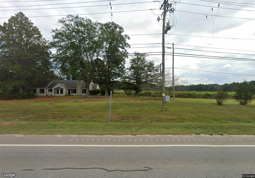
1486 Highway 54 W Fayetteville, GA 30214
Estimated Value: $419,000 - $864,000
--
Bed
1
Bath
1,974
Sq Ft
$317/Sq Ft
Est. Value
About This Home
This home is located at 1486 Highway 54 W, Fayetteville, GA 30214 and is currently estimated at $626,564, approximately $317 per square foot. 1486 Highway 54 W is a home located in Fayette County with nearby schools including Cleveland Elementary School, Bennett's Mill Middle School, and Fayette County High School.
Ownership History
Date
Name
Owned For
Owner Type
Purchase Details
Closed on
May 17, 2024
Sold by
Adams Marvin Russell and Adams Virginia T
Bought by
Adams Farm 1805 Llc
Current Estimated Value
Purchase Details
Closed on
Dec 1, 2023
Sold by
Adams Marvin R
Bought by
Cleveland William Jerry
Purchase Details
Closed on
Apr 22, 2021
Sold by
Executor Cleveland William Jerry
Bought by
Cleveland William Jerry
Purchase Details
Closed on
Jul 16, 1999
Sold by
Adams Inelle E
Bought by
Adams Inelle E
Create a Home Valuation Report for This Property
The Home Valuation Report is an in-depth analysis detailing your home's value as well as a comparison with similar homes in the area
Home Values in the Area
Average Home Value in this Area
Purchase History
| Date | Buyer | Sale Price | Title Company |
|---|---|---|---|
| Adams Farm 1805 Llc | -- | None Listed On Document | |
| Adams Farm 1805 Llc | -- | None Listed On Document | |
| Cleveland William Jerry | -- | None Listed On Document | |
| Cleveland William Jerry | -- | -- | |
| Adams Marvin R | -- | -- | |
| Adams Inelle E | -- | -- |
Source: Public Records
Tax History Compared to Growth
Tax History
| Year | Tax Paid | Tax Assessment Tax Assessment Total Assessment is a certain percentage of the fair market value that is determined by local assessors to be the total taxable value of land and additions on the property. | Land | Improvement |
|---|---|---|---|---|
| 2024 | $6,033 | $222,272 | $122,072 | $100,200 |
| 2023 | $6,033 | $224,364 | $129,044 | $95,320 |
| 2022 | $5,718 | $205,580 | $115,220 | $90,360 |
| 2021 | $5,047 | $178,956 | $105,996 | $72,960 |
| 2020 | $4,004 | $141,264 | $77,264 | $64,000 |
| 2019 | $3,945 | $137,704 | $77,264 | $60,440 |
| 2018 | $3,691 | $127,372 | $71,372 | $56,000 |
| 2017 | $3,422 | $117,624 | $69,904 | $47,720 |
| 2016 | $3,312 | $111,304 | $69,904 | $41,400 |
| 2015 | $3,250 | $107,224 | $69,904 | $37,320 |
| 2014 | $3,229 | $104,544 | $69,904 | $34,640 |
| 2013 | -- | $102,864 | $0 | $0 |
Source: Public Records
Map
Nearby Homes
- 305 Breakspear Ln
- 125 Silver Lake Way
- 135 Waterlace Way
- 111 Windsail Way
- 1623 Highway 54 W
- 135 Discovery Lake Dr
- 130 Dockside Dr Unit 380
- 0 Flat Creek Unit 7676780
- 110 Godby Dr
- 120 Godby Dr
- 140 Lapis Lake Point Unit 363
- 180 Dockside Dr Unit LOT 385
- 335 Grand Teton Cir
- 180 Sunderland Cir
- 145 Cutstone Ct
- 313 Fayette Villa Ct
- 360 Grand Teton Cir
- 506 Avalon Dr
- 262 Otter Cir
- 490 Grand Teton Cir
- 1472 Highway 54 W
- 1487 Georgia 54
- 1487 Highway 54 W
- 160 Woodstream Point
- 1512 Hwy 54 W
- 155 Woodstream Point
- 150 Woodstream Point
- 140 Woodstream Point
- 145 Woodstream Point
- 120 Topsail Dr Unit 414
- 115 Topsail Dr Unit LOT 415
- 105 Topsail Dr Unit 416
- 120 Woodstream Point
- 135 Woodstream Point
- 185 Heritage Farm Ln
- 125 Woodstream Point
- 220 Heritage Farm Ln
- 110 Woodstream Point Unit 110
- 110 Woodstream Point
- 175 Heritage Farm Ln