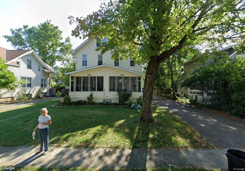
1486 Wyandotte Rd Unit 490 Columbus, OH 43212
Estimated Value: $546,000 - $685,000
6
Beds
2
Baths
2,993
Sq Ft
$212/Sq Ft
Est. Value
About This Home
This home is located at 1486 Wyandotte Rd Unit 490, Columbus, OH 43212 and is currently estimated at $634,524, approximately $212 per square foot. 1486 Wyandotte Rd Unit 490 is a home located in Franklin County with nearby schools including Robert Louis Stevenson Elementary School, Larson Middle School, and Grandview Heights High School.
Ownership History
Date
Name
Owned For
Owner Type
Purchase Details
Closed on
Nov 30, 2007
Sold by
Todd Jeffrey E and Todd Andrew P
Bought by
Buckone Ltd
Current Estimated Value
Home Financials for this Owner
Home Financials are based on the most recent Mortgage that was taken out on this home.
Original Mortgage
$238,000
Outstanding Balance
$150,722
Interest Rate
6.31%
Mortgage Type
Purchase Money Mortgage
Estimated Equity
$483,802
Create a Home Valuation Report for This Property
The Home Valuation Report is an in-depth analysis detailing your home's value as well as a comparison with similar homes in the area
Home Values in the Area
Average Home Value in this Area
Purchase History
| Date | Buyer | Sale Price | Title Company |
|---|---|---|---|
| Buckone Ltd | $247,000 | Attorney |
Source: Public Records
Mortgage History
| Date | Status | Borrower | Loan Amount |
|---|---|---|---|
| Open | Buckone Ltd | $238,000 |
Source: Public Records
Tax History Compared to Growth
Tax History
| Year | Tax Paid | Tax Assessment Tax Assessment Total Assessment is a certain percentage of the fair market value that is determined by local assessors to be the total taxable value of land and additions on the property. | Land | Improvement |
|---|---|---|---|---|
| 2024 | $10,937 | $184,110 | $77,180 | $106,930 |
| 2023 | $9,604 | $184,100 | $77,175 | $106,925 |
| 2022 | $8,401 | $137,130 | $66,150 | $70,980 |
| 2021 | $7,876 | $137,130 | $66,150 | $70,980 |
| 2020 | $7,845 | $137,130 | $66,150 | $70,980 |
| 2019 | $7,388 | $114,280 | $66,150 | $48,130 |
| 2018 | $7,481 | $114,280 | $66,150 | $48,130 |
| 2017 | $6,907 | $114,280 | $66,150 | $48,130 |
| 2016 | $7,596 | $107,520 | $46,830 | $60,690 |
| 2015 | $7,597 | $107,520 | $46,830 | $60,690 |
| 2014 | $7,620 | $107,520 | $46,830 | $60,690 |
| 2013 | $3,354 | $97,720 | $42,560 | $55,160 |
Source: Public Records
Map
Nearby Homes
- 1561 Glenn Ave
- 1459 Elmwood Ave Unit 1459
- 1313 Lincoln Rd
- 2015 W 5th Ave Unit 211
- 2015 W 5th Ave Unit 102
- 2015 W 5th Ave Unit 108
- 1655-1657 Ashland Ave
- 1661 Ashland Ave Unit 663
- 1631 Roxbury Rd Unit A1
- 1631 Roxbury Rd Unit F3
- 1631 Roxbury Rd Unit B6
- 1263 Oakland Ave
- 1733 Elmwood Ave
- 1782 Wyandotte Rd
- 1475 W 3rd Ave Unit 204
- 1825 Northwest Ct Unit D
- 1364 W 7th Ave
- 1324 Lake Shore Dr Unit B
- 1000 Urlin Ave Unit 1822
- 1000 Urlin Ave Unit 2007
- 1486-1490 Wyandotte Rd
- 1496 Wyandotte Rd
- 1482 Wyandotte Rd
- 1500 Wyandotte Rd
- 1470 Wyandotte Rd
- 1481 Glenn Ave
- 1475 Glenn Ave
- 1487 Glenn Ave
- 1508 Wyandotte Rd
- 1469 Glenn Ave
- 1485 Wyandotte Rd
- 1495 Wyandotte Rd
- 1465 Glenn Ave
- 1477 Wyandotte Rd
- 1462 Wyandotte Rd
- 1514 Wyandotte Rd
- 1471 Wyandotte Rd
- 1459 Glenn Ave
- 1507 Wyandotte Rd
- 1501 Glenn Ave Unit 503