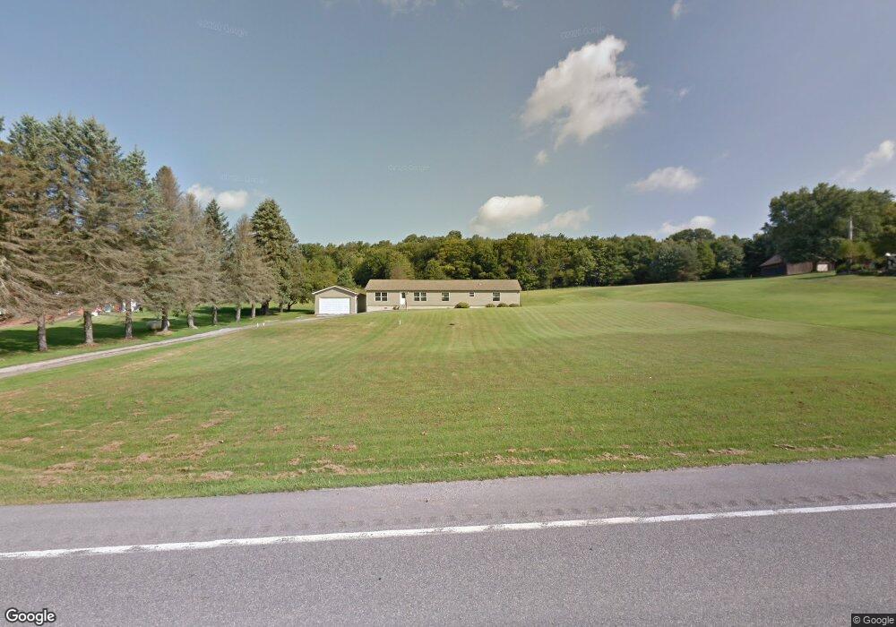
14861 Route 28 Brockway, PA 15824
Estimated Value: $157,966 - $279,000
--
Bed
--
Bath
2,128
Sq Ft
$102/Sq Ft
Est. Value
About This Home
This home is located at 14861 Route 28, Brockway, PA 15824 and is currently estimated at $217,742, approximately $102 per square foot. 14861 Route 28 is a home located in Jefferson County with nearby schools including Brockway Area Elementary School, Brockway Area Junior/Senior High School, and Hillside School.
Ownership History
Date
Name
Owned For
Owner Type
Purchase Details
Closed on
Sep 19, 2016
Sold by
Lundbert Mary C and Ransbottom Yvonne M
Bought by
Anderson Joshua D
Current Estimated Value
Home Financials for this Owner
Home Financials are based on the most recent Mortgage that was taken out on this home.
Original Mortgage
$111,065
Outstanding Balance
$88,714
Interest Rate
3.43%
Mortgage Type
FHA
Estimated Equity
$129,028
Purchase Details
Closed on
Apr 20, 2007
Sold by
Lundberg Mary C and Ransbottom Yvonne M
Bought by
Mary C Lundberg Revocable Living Trust
Create a Home Valuation Report for This Property
The Home Valuation Report is an in-depth analysis detailing your home's value as well as a comparison with similar homes in the area
Home Values in the Area
Average Home Value in this Area
Purchase History
| Date | Buyer | Sale Price | Title Company |
|---|---|---|---|
| Anderson Joshua D | $114,900 | None Available | |
| Mary C Lundberg Revocable Living Trust | -- | None Available |
Source: Public Records
Mortgage History
| Date | Status | Borrower | Loan Amount |
|---|---|---|---|
| Open | Anderson Joshua D | $111,065 |
Source: Public Records
Tax History Compared to Growth
Tax History
| Year | Tax Paid | Tax Assessment Tax Assessment Total Assessment is a certain percentage of the fair market value that is determined by local assessors to be the total taxable value of land and additions on the property. | Land | Improvement |
|---|---|---|---|---|
| 2025 | $1,985 | $51,190 | $3,230 | $47,960 |
| 2024 | $2,327 | $51,190 | $3,230 | $47,960 |
| 2023 | $1,934 | $51,190 | $3,230 | $47,960 |
| 2022 | $1,934 | $51,190 | $3,230 | $47,960 |
| 2021 | $1,934 | $51,190 | $3,230 | $47,960 |
| 2020 | $1,934 | $51,190 | $3,230 | $47,960 |
| 2019 | $1,850 | $51,190 | $3,230 | $47,960 |
| 2018 | $1,802 | $51,190 | $3,230 | $47,960 |
| 2017 | $1,774 | $51,190 | $3,230 | $47,960 |
| 2016 | $1,615 | $51,190 | $3,230 | $47,960 |
| 2015 | -- | $47,560 | $3,230 | $44,330 |
| 2012 | -- | $47,560 | $3,230 | $44,330 |
Source: Public Records
Map
Nearby Homes
- 19 Salandra Ln
- 1074 10th Ave
- 1549 Main St
- 970 Baghdad Rd
- 0 U S 219
- 924 Elm St
- 7956 U S 219
- 425 Zuccolotto Ln
- 5546 Stevenson Hill Rd
- 1083 Rattlesnake Rd
- 0 Coal Glen Rd
- 101 Howard Rd
- 5850 U S 219
- 00 Pennsylvania 830
- 1032 Beechtree Rd
- 3539 Stevenson Hill Rd
- 559 Buskirk Rd
- 390 Galliot Ct
- 725 Russel Rd
- 636 Cap Haitien Rd