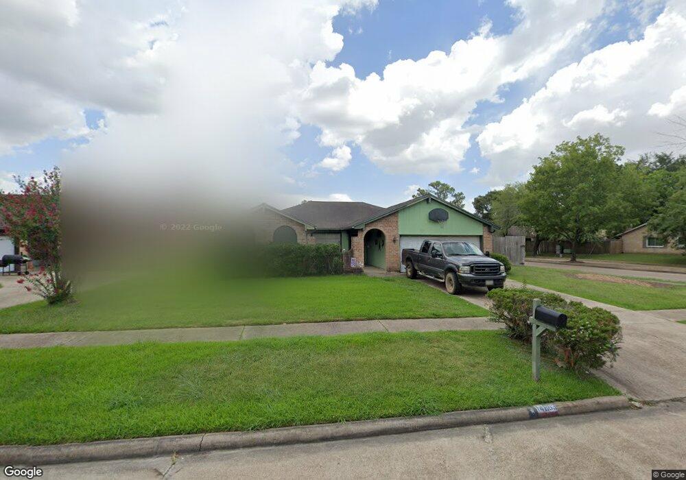
14863 Croxton Dr Houston, TX 77015
Estimated Value: $222,000 - $237,000
3
Beds
2
Baths
1,686
Sq Ft
$138/Sq Ft
Est. Value
About This Home
This home is located at 14863 Croxton Dr, Houston, TX 77015 and is currently estimated at $231,887, approximately $137 per square foot. 14863 Croxton Dr is a home located in Harris County with nearby schools including James B. Havard Elementary School, Cobb 6th Grade Campus, and North Shore Middle School.
Ownership History
Date
Name
Owned For
Owner Type
Purchase Details
Closed on
Jul 31, 2002
Sold by
Mccracken Richard and Mccracken Barbara L
Bought by
Rogers Craig L and Rogers Rhonda
Current Estimated Value
Home Financials for this Owner
Home Financials are based on the most recent Mortgage that was taken out on this home.
Original Mortgage
$98,223
Interest Rate
6.62%
Mortgage Type
FHA
Create a Home Valuation Report for This Property
The Home Valuation Report is an in-depth analysis detailing your home's value as well as a comparison with similar homes in the area
Home Values in the Area
Average Home Value in this Area
Purchase History
| Date | Buyer | Sale Price | Title Company |
|---|---|---|---|
| Rogers Craig L | -- | Texas American Title Company |
Source: Public Records
Mortgage History
| Date | Status | Borrower | Loan Amount |
|---|---|---|---|
| Closed | Rogers Craig L | $98,223 |
Source: Public Records
Tax History
| Year | Tax Paid | Tax Assessment Tax Assessment Total Assessment is a certain percentage of the fair market value that is determined by local assessors to be the total taxable value of land and additions on the property. | Land | Improvement |
|---|---|---|---|---|
| 2025 | $2,815 | $210,146 | $42,084 | $168,062 |
| 2024 | $2,815 | $224,768 | $42,084 | $182,684 |
| 2023 | $2,815 | $233,256 | $42,084 | $191,172 |
| 2022 | $4,292 | $192,302 | $42,084 | $150,218 |
| 2021 | $4,295 | $170,977 | $42,084 | $128,893 |
| 2020 | $4,193 | $148,241 | $42,084 | $106,157 |
| 2019 | $4,039 | $138,262 | $42,084 | $96,178 |
| 2018 | $1,128 | $130,535 | $31,002 | $99,533 |
| 2017 | $3,396 | $109,894 | $19,376 | $90,518 |
| 2016 | $3,093 | $109,894 | $19,376 | $90,518 |
| 2015 | $2,056 | $90,983 | $10,657 | $80,326 |
| 2014 | $2,056 | $85,412 | $10,657 | $74,755 |
Source: Public Records
Map
Nearby Homes
- 1303 Sterling Green Ct
- 1346 Castle Glen Dr
- 1342 Castle Glen Dr
- 1423 Seafield Dr
- 14835 Scotter Dr
- 1331 Castle Glen Dr
- 14918 Silver Green Dr S
- 1510 Chertsey Cir
- 14854 Shottery Dr
- 14847 Shottery Dr
- 1714 Merton Dr
- 1343 Littleport Ln
- 234 Wentworth Park Dr
- 14502 Fargo Woods Cir
- 1339 Macclesby Ln
- 335 Haymarket Ln
- 1915 Aldates Dr
- 14527 Duncannon Dr
- 15110 Peachmeadow Ln
- 14510 Foxford Way
- 14859 Croxton Dr
- 14903 Easingwold Dr
- 14855 Croxton Dr
- 14907 Easingwold Dr
- 14862 Beaconsfield Dr
- 14862 Croxton Dr
- 14899 Easingwold Dr
- 14858 Croxton Dr
- 14851 Croxton Dr
- 14911 Easingwold Dr
- 14854 Croxton Dr
- 14858 Beaconsfield Dr
- 14863 Beaconsfield Dr
- 14895 Easingwold Dr
- 14850 Croxton Dr
- 14847 Croxton Dr
- 14859 Beaconsfield Dr
- 14915 Easingwold Dr
- 14854 Beaconsfield Dr
- 1410 Sterling Green Ct
Your Personal Tour Guide
Ask me questions while you tour the home.