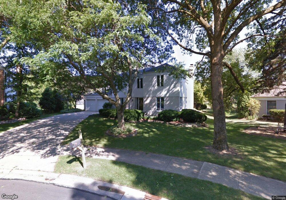
1487 Briar Cove Unit 1 Wheaton, IL 60189
West Wheaton NeighborhoodEstimated Value: $637,000 - $711,000
--
Bed
1
Bath
2,656
Sq Ft
$259/Sq Ft
Est. Value
About This Home
This home is located at 1487 Briar Cove Unit 1, Wheaton, IL 60189 and is currently estimated at $687,500, approximately $258 per square foot. 1487 Briar Cove Unit 1 is a home located in DuPage County with nearby schools including Madison Elementary School, Edison Middle School, and Wheaton Warrenville South High School.
Ownership History
Date
Name
Owned For
Owner Type
Purchase Details
Closed on
Mar 30, 1998
Sold by
Townsend Walter A and Townsend Teresa L
Bought by
Salvador Omar H and Salvador Laurel A
Current Estimated Value
Home Financials for this Owner
Home Financials are based on the most recent Mortgage that was taken out on this home.
Original Mortgage
$120,000
Interest Rate
7.09%
Create a Home Valuation Report for This Property
The Home Valuation Report is an in-depth analysis detailing your home's value as well as a comparison with similar homes in the area
Home Values in the Area
Average Home Value in this Area
Purchase History
| Date | Buyer | Sale Price | Title Company |
|---|---|---|---|
| Salvador Omar H | $272,500 | Attorneys Title Guaranty Fun |
Source: Public Records
Mortgage History
| Date | Status | Borrower | Loan Amount |
|---|---|---|---|
| Closed | Salvador Omar H | $120,000 |
Source: Public Records
Tax History Compared to Growth
Tax History
| Year | Tax Paid | Tax Assessment Tax Assessment Total Assessment is a certain percentage of the fair market value that is determined by local assessors to be the total taxable value of land and additions on the property. | Land | Improvement |
|---|---|---|---|---|
| 2024 | $11,213 | $189,501 | $36,579 | $152,922 |
| 2023 | $11,278 | $174,430 | $33,670 | $140,760 |
| 2022 | $10,630 | $159,040 | $31,820 | $127,220 |
| 2021 | $10,595 | $155,260 | $31,060 | $124,200 |
| 2020 | $10,563 | $153,810 | $30,770 | $123,040 |
| 2019 | $10,323 | $149,750 | $29,960 | $119,790 |
| 2018 | $11,078 | $158,470 | $35,680 | $122,790 |
| 2017 | $10,917 | $152,620 | $34,360 | $118,260 |
| 2016 | $10,776 | $146,530 | $32,990 | $113,540 |
| 2015 | $10,699 | $139,790 | $31,470 | $108,320 |
| 2014 | $9,858 | $127,210 | $30,340 | $96,870 |
| 2013 | $9,607 | $127,590 | $30,430 | $97,160 |
Source: Public Records
Map
Nearby Homes
- 1473 Creekside Dr
- 1562 Burning Trail
- 1601 W Wiesbrook Rd
- 1040 Creekside Dr Unit 414
- 1565 Orchard Rd
- 1645 Burning Trail Ct
- 1310 Yorkshire Woods Ct
- 1440 Stonebridge Cir Unit J10
- 1477 S County Farm Rd Unit 23F
- 952 Dartmouth Dr
- 1745 Ennis Ln Unit 89A
- 2152 Belleau Woods Dr
- 1585 Woodcutter Ln Unit D
- 1605 Woodcutter Ln Unit A
- 1422 Woodcutter Ln Unit D
- 821 Plamondon Rd
- 1489 Woodcutter Ln Unit A
- 2059 W Roosevelt Rd
- 25W451 Plamondon Rd
- 1393 Woodcutter Ln Unit D
- 1481 Briar Cove
- 1488 Creekside Dr
- 1482 Creekside Dr Unit 1
- 1469 Briar Cove
- 1486 Briar Cove
- 1470 Creekside Dr
- 1455 Briar Cove
- 1466 Briar Cove
- 1458 Creekside Dr
- 1458 Briar Cove
- 1489 Creekside Dr
- 1485 Creekside Dr
- 1510 Creekside Dr
- 1483 Pebblestone Cove
- 1489 Pebblestone Cove
- 1984 Spring Green Dr
- 1471 Pebblestone Cove
- 1521 Leabrook Cove
- 1519 Leabrook Cove
- 1461 Creekside Dr