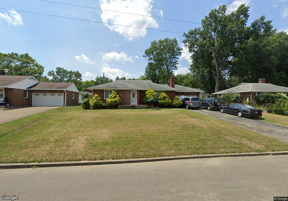
1487 Lilly Ln Alliance, OH 44601
Estimated Value: $132,000 - $174,000
2
Beds
1
Bath
1,055
Sq Ft
$154/Sq Ft
Est. Value
About This Home
This home is located at 1487 Lilly Ln, Alliance, OH 44601 and is currently estimated at $161,990, approximately $153 per square foot. 1487 Lilly Ln is a home located in Stark County with nearby schools including Alliance Early Learning School, Alliance Intermediate School at Northside, and Alliance Middle School.
Ownership History
Date
Name
Owned For
Owner Type
Purchase Details
Closed on
May 20, 2009
Sold by
Secretary Of Housing & Urban Development
Bought by
Aldea Eleonora
Current Estimated Value
Home Financials for this Owner
Home Financials are based on the most recent Mortgage that was taken out on this home.
Original Mortgage
$31,850
Outstanding Balance
$20,113
Interest Rate
4.84%
Mortgage Type
Purchase Money Mortgage
Estimated Equity
$141,877
Purchase Details
Closed on
Jan 22, 2009
Sold by
Barber Richard T
Bought by
Secretary Of Housing & Urban Development
Purchase Details
Closed on
Mar 2, 1998
Sold by
Robinson Pearl T
Bought by
Barber Richard A and Barber Alice E
Home Financials for this Owner
Home Financials are based on the most recent Mortgage that was taken out on this home.
Original Mortgage
$26,000
Interest Rate
6.95%
Mortgage Type
New Conventional
Create a Home Valuation Report for This Property
The Home Valuation Report is an in-depth analysis detailing your home's value as well as a comparison with similar homes in the area
Home Values in the Area
Average Home Value in this Area
Purchase History
| Date | Buyer | Sale Price | Title Company |
|---|---|---|---|
| Aldea Eleonora | $65,000 | Lakeside Title & Escrow Agen | |
| Secretary Of Housing & Urban Development | -- | None Available | |
| Barber Richard A | $78,000 | -- |
Source: Public Records
Mortgage History
| Date | Status | Borrower | Loan Amount |
|---|---|---|---|
| Open | Aldea Eleonora | $31,850 | |
| Previous Owner | Barber Richard A | $26,000 |
Source: Public Records
Tax History
| Year | Tax Paid | Tax Assessment Tax Assessment Total Assessment is a certain percentage of the fair market value that is determined by local assessors to be the total taxable value of land and additions on the property. | Land | Improvement |
|---|---|---|---|---|
| 2025 | -- | $53,270 | $15,260 | $38,010 |
| 2024 | -- | $53,270 | $15,260 | $38,010 |
| 2023 | $1,801 | $43,750 | $13,440 | $30,310 |
| 2022 | $1,813 | $43,750 | $13,440 | $30,310 |
| 2021 | $1,818 | $43,750 | $13,440 | $30,310 |
| 2020 | $1,683 | $37,840 | $11,690 | $26,150 |
| 2019 | $1,660 | $37,840 | $11,690 | $26,150 |
Source: Public Records
Map
Nearby Homes
- 1534 Fernwood Blvd
- 1310 Overlook Dr
- 1156 Parkside Dr
- 1718 Fernwood Blvd
- 1016 Roseland Rd
- 1539 Parkway Blvd
- 1114 Briarcliff Ave
- 1601 Raywood Rd
- 864 W College Rd
- 0 Federal Ave
- 1044 Glamorgan St
- 720 Vincent Blvd
- 2120 Blenheim Ave
- 1235 Spring Ridge Cir Unit 17A
- 664 Fairview Place
- 2580 Edgewood Ave
- 2630 Blenheim Ave
- 2635 Blenheim Ave
- 203 Glamorgan St
- 535 S Mckinley Ave
- 1493 Lilly Ln
- 1473 Lilly Ln
- 1499 Lilly Ln
- 1469 Lilly Ln
- 1486 Lilly Ln
- 1490 Lilly Ln
- 1484 Fernwood Blvd
- 1517 Lilly Ln
- 1472 Lilly Ln
- 1494 Fernwood Blvd
- 1468 Lilly Ln
- 1470 Fernwood Blvd
- 1516 Lilly Ln
- 1525 Lilly Ln
- 1516 Fernwood Blvd
- 1180 Glenwood Dr
- 1190 Glenwood Dr
- 1198 Glenwood Dr
- 1524 Lilly Ln
- 1485 Fairview Place
Your Personal Tour Guide
Ask me questions while you tour the home.