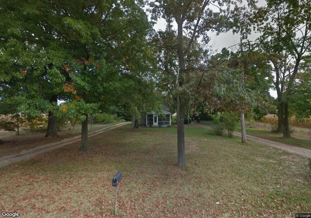
1487 N West Ave Vineland, NJ 08360
Estimated Value: $271,000
3
Beds
1
Bath
1,296
Sq Ft
$209/Sq Ft
Est. Value
About This Home
This home is located at 1487 N West Ave, Vineland, NJ 08360 and is currently estimated at $271,000, approximately $209 per square foot. 1487 N West Ave is a home located in Cumberland County with nearby schools including Marie D. Durand Elementary School, T.W. Wallace Middle School, and Vineland Senior High School.
Ownership History
Date
Name
Owned For
Owner Type
Purchase Details
Closed on
Jun 28, 2018
Sold by
Negron Carlos and Negron Belen
Bought by
Cnj Property Solutions Llc
Current Estimated Value
Purchase Details
Closed on
Nov 17, 2011
Sold by
Vertolli John E and Vertolli Marie C
Bought by
South Vineland Little League
Home Financials for this Owner
Home Financials are based on the most recent Mortgage that was taken out on this home.
Original Mortgage
$166,000
Interest Rate
3.92%
Mortgage Type
Purchase Money Mortgage
Create a Home Valuation Report for This Property
The Home Valuation Report is an in-depth analysis detailing your home's value as well as a comparison with similar homes in the area
Home Values in the Area
Average Home Value in this Area
Purchase History
| Date | Buyer | Sale Price | Title Company |
|---|---|---|---|
| Cnj Property Solutions Llc | $95,000 | -- | |
| South Vineland Little League | $270,000 | -- |
Source: Public Records
Mortgage History
| Date | Status | Borrower | Loan Amount |
|---|---|---|---|
| Previous Owner | South Vineland Little League | $166,000 |
Source: Public Records
Tax History Compared to Growth
Tax History
| Year | Tax Paid | Tax Assessment Tax Assessment Total Assessment is a certain percentage of the fair market value that is determined by local assessors to be the total taxable value of land and additions on the property. | Land | Improvement |
|---|---|---|---|---|
| 2025 | $3,579 | $112,400 | $41,800 | $70,600 |
| 2024 | $3,579 | $112,400 | $41,800 | $70,600 |
| 2023 | $3,555 | $112,400 | $41,800 | $70,600 |
| 2022 | $3,450 | $112,400 | $41,800 | $70,600 |
| 2021 | $3,387 | $112,400 | $41,800 | $70,600 |
| 2020 | $3,290 | $112,400 | $41,800 | $70,600 |
| 2019 | $3,245 | $112,400 | $41,800 | $70,600 |
| 2018 | $3,160 | $112,400 | $41,800 | $70,600 |
| 2017 | $3,001 | $112,400 | $41,800 | $70,600 |
| 2016 | $2,895 | $112,400 | $41,800 | $70,600 |
| 2015 | $2,789 | $112,400 | $41,800 | $70,600 |
| 2014 | $2,637 | $112,400 | $41,800 | $70,600 |
Source: Public Records
Map
Nearby Homes
- 663 Wayne Ave
- 1489 N Delsea Dr
- 1887 N Delsea Dr Unit 135 HOLLY HOCK DR.
- 1887 N Delsea Dr Unit 19
- 1887 N Delsea Dr Unit 39
- 225 Laurel St
- 1811 N Delsea Dr Unit 4
- 1267 N East Blvd Unit 16C
- 105 Oxford St
- 1020 W Oak Rd
- 1032 W Oak Rd
- 1050 W Oak Rd
- 550 Northwest Ave
- 317 Oxford St
- 1267 Northeast Blvd
- 2246 N West Ave
- 1252 W Oak Rd
- 0 Firerize Ave Unit NJCB2020972
- 811 W Garden Rd
- 1976 N East Ave Unit 233
- 1437 N West Ave
- 1460 N West Ave
- 1532 N West Ave
- 1553 N West Ave
- 1421 N West Ave
- 544 Kingman Ave
- 1407 N West Ave
- 1428 N West Ave
- 1490 N West Ave
- 560 Kingman Ave
- 1385 N West Ave
- 1398 N West Ave
- 1560 N West Ave
- 576 Kingman Ave
- 532 Wayne Ave
- 1592 N West Ave
- 569 Kingman Ave
- 1377 N West Ave
- 548 Wayne Ave
- 594 Kingman Ave