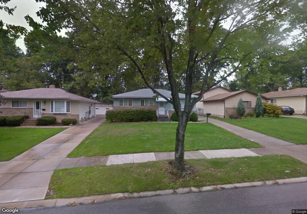
14875 Janice Dr Maple Heights, OH 44137
Estimated Value: $138,000 - $162,000
3
Beds
1
Bath
962
Sq Ft
$156/Sq Ft
Est. Value
About This Home
This home is located at 14875 Janice Dr, Maple Heights, OH 44137 and is currently estimated at $150,508, approximately $156 per square foot. 14875 Janice Dr is a home located in Cuyahoga County with nearby schools including Abraham Lincoln Elementary School, Rockside/ J.F. Kennedy School, and Barack Obama School.
Ownership History
Date
Name
Owned For
Owner Type
Purchase Details
Closed on
May 29, 2008
Sold by
Scerbak Deborah
Bought by
Gandara Arthur J and Gandara Catherine A
Current Estimated Value
Home Financials for this Owner
Home Financials are based on the most recent Mortgage that was taken out on this home.
Original Mortgage
$76,302
Outstanding Balance
$48,661
Interest Rate
5.93%
Mortgage Type
Purchase Money Mortgage
Estimated Equity
$101,847
Purchase Details
Closed on
Jun 2, 1988
Sold by
Finn Mark F
Bought by
Cancilliere Nick S
Purchase Details
Closed on
Apr 1, 1985
Sold by
Finn Mark F
Bought by
Finn Mark F
Purchase Details
Closed on
Sep 8, 1978
Sold by
Garcia Manuel R
Bought by
Finn Mark F
Purchase Details
Closed on
Jun 17, 1977
Sold by
Sitts Donald N and Sitts Rebecca L
Bought by
Garcia Manuel R
Purchase Details
Closed on
Jan 1, 1975
Bought by
Sitts Donald N and Sitts Rebecca L
Create a Home Valuation Report for This Property
The Home Valuation Report is an in-depth analysis detailing your home's value as well as a comparison with similar homes in the area
Home Values in the Area
Average Home Value in this Area
Purchase History
| Date | Buyer | Sale Price | Title Company |
|---|---|---|---|
| Gandara Arthur J | $77,500 | First American Title Ins Co | |
| Cancilliere Nick S | $68,000 | -- | |
| Finn Mark F | -- | -- | |
| Finn Mark F | -- | -- | |
| Garcia Manuel R | $45,500 | -- | |
| Sitts Donald N | -- | -- |
Source: Public Records
Mortgage History
| Date | Status | Borrower | Loan Amount |
|---|---|---|---|
| Open | Gandara Arthur J | $76,302 |
Source: Public Records
Tax History
| Year | Tax Paid | Tax Assessment Tax Assessment Total Assessment is a certain percentage of the fair market value that is determined by local assessors to be the total taxable value of land and additions on the property. | Land | Improvement |
|---|---|---|---|---|
| 2024 | $4,290 | $47,425 | $8,820 | $38,605 |
| 2023 | $3,326 | $31,540 | $7,530 | $24,010 |
| 2022 | $3,314 | $31,540 | $7,530 | $24,010 |
| 2021 | $3,543 | $31,540 | $7,530 | $24,010 |
| 2020 | $3,219 | $25,830 | $6,160 | $19,670 |
| 2019 | $3,205 | $73,800 | $17,600 | $56,200 |
| 2018 | $3,040 | $25,830 | $6,160 | $19,670 |
| 2017 | $3,104 | $24,470 | $4,380 | $20,090 |
| 2016 | $3,001 | $24,470 | $4,380 | $20,090 |
| 2015 | $2,975 | $24,470 | $4,380 | $20,090 |
| 2014 | $2,975 | $26,320 | $4,690 | $21,630 |
Source: Public Records
Map
Nearby Homes
- 14808 James Ave
- 14320 Janice Dr
- 15305 Steinway Blvd
- 14956 Carol Dr
- 14012 Wheeler Rd
- 6089 Dunham Rd
- 13810 Martin Dr
- 14357 Turney Rd
- 13804 Rockside Rd
- 14214 Tabor Ave
- 16111 #A8 Maple Park Dr
- SL15 Rocky Top Ct
- 13741 Grove Dr
- 14619 Tokay Ave
- 14404 Tokay Ave
- 15 Rockytop Ct
- 14203 Tabor Ave
- 15405 Turney Rd
- 15701 Walvern Blvd
- 15817 Northwood Ave
- 14897 Janice Dr
- 14849 Janice Dr
- 14921 Janice Dr
- 14825 Janice Dr
- 14795 Janice Dr
- 14937 Janice Dr
- 14872 Janice Dr
- 14896 Janice Dr
- 14848 Janice Dr
- 14918 Janice Dr
- 14824 Janice Dr
- 14961 Janice Dr
- 14775 Janice Dr
- 14794 Janice Dr
- 14936 Janice Dr
- 14737 Janice Dr
- 15015 Janice Dr
- 14772 Janice Dr
- 14877 Lisa Dr
- 14899 Lisa Dr
Your Personal Tour Guide
Ask me questions while you tour the home.