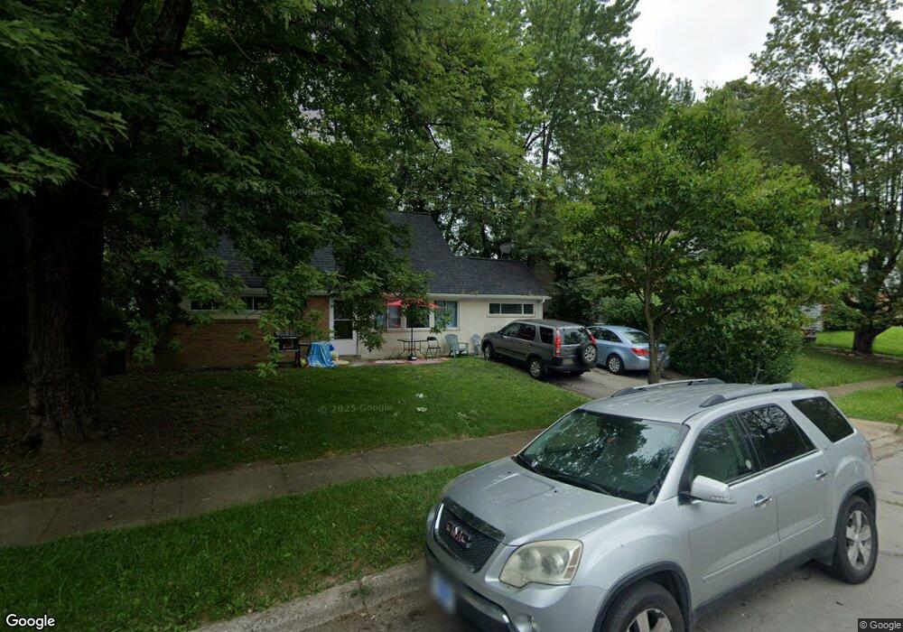
1489 Blaine Dr Columbus, OH 43227
Shady Lane NeighborhoodEstimated Value: $214,820 - $247,000
4
Beds
3
Baths
1,581
Sq Ft
$149/Sq Ft
Est. Value
About This Home
This home is located at 1489 Blaine Dr, Columbus, OH 43227 and is currently estimated at $234,955, approximately $148 per square foot. 1489 Blaine Dr is a home located in Franklin County with nearby schools including Shady Lane Elementary School, Sherwood Middle School, and Walnut Ridge High School.
Ownership History
Date
Name
Owned For
Owner Type
Purchase Details
Closed on
Apr 22, 2005
Sold by
American General Financial Services Inc
Bought by
Longstreth Craig A
Current Estimated Value
Purchase Details
Closed on
Dec 15, 2003
Sold by
Blanton Bryan A and Case #03Cve04 4390
Bought by
American General Financial Services Inc
Purchase Details
Closed on
May 3, 1999
Sold by
Blanton Alverta R C
Bought by
Blanton Bryan A
Purchase Details
Closed on
Sep 1, 1989
Bought by
Blanton Bryan A
Create a Home Valuation Report for This Property
The Home Valuation Report is an in-depth analysis detailing your home's value as well as a comparison with similar homes in the area
Home Values in the Area
Average Home Value in this Area
Purchase History
| Date | Buyer | Sale Price | Title Company |
|---|---|---|---|
| Longstreth Craig A | $60,000 | Chicago Tit | |
| American General Financial Services Inc | $60,000 | -- | |
| Blanton Bryan A | -- | -- | |
| Blanton Bryan A | $50,000 | -- |
Source: Public Records
Tax History
| Year | Tax Paid | Tax Assessment Tax Assessment Total Assessment is a certain percentage of the fair market value that is determined by local assessors to be the total taxable value of land and additions on the property. | Land | Improvement |
|---|---|---|---|---|
| 2025 | $2,899 | $63,250 | $16,660 | $46,590 |
| 2024 | $2,899 | $63,250 | $16,660 | $46,590 |
| 2023 | $2,862 | $63,245 | $16,660 | $46,585 |
| 2022 | $1,538 | $28,950 | $6,860 | $22,090 |
| 2021 | $1,541 | $28,950 | $6,860 | $22,090 |
| 2020 | $1,544 | $28,950 | $6,860 | $22,090 |
| 2019 | $1,393 | $22,410 | $5,500 | $16,910 |
| 2018 | $1,444 | $22,410 | $5,500 | $16,910 |
| 2017 | $1,466 | $22,410 | $5,500 | $16,910 |
| 2016 | $1,539 | $22,650 | $5,920 | $16,730 |
| 2015 | $1,401 | $22,650 | $5,920 | $16,730 |
| 2014 | $1,404 | $22,650 | $5,920 | $16,730 |
| 2013 | $815 | $26,635 | $6,965 | $19,670 |
Source: Public Records
Map
Nearby Homes
- 4859 Folger Dr
- 1472 Blaine Dr
- 1470 Efner Dr
- 1320 Nancy Ln
- 1260 Country Club Rd
- 4677 E Livingston Ave
- 4701 Janis Dr
- 1209 Norman Dr
- 1612 Simpson Dr
- 1639 Shady Lane Rd
- 4649 Dundee Ave
- 4991 Justin Rd
- 1193 Marble Dr
- 1691 Shady Lane Rd
- 1243 Simpson Dr
- 1229 Simpson Dr
- 1284 Thurston Dr
- 4472 Aragon Ave
- 4467 Grimsby Rd
- 4589 Belfast Dr
Your Personal Tour Guide
Ask me questions while you tour the home.