1489 State Route 31 Oxford, NJ 07863
Estimated Value: $436,515 - $540,000
--
Bed
--
Bath
2,257
Sq Ft
$217/Sq Ft
Est. Value
About This Home
This home is located at 1489 State Route 31, Oxford, NJ 07863 and is currently estimated at $490,129, approximately $217 per square foot. 1489 State Route 31 is a home with nearby schools including White Township Consolidated Elementary School.
Ownership History
Date
Name
Owned For
Owner Type
Purchase Details
Closed on
Feb 23, 2021
Sold by
U S Bank Trust Na
Bought by
Muso Darren and Pozarycki Christopher
Current Estimated Value
Home Financials for this Owner
Home Financials are based on the most recent Mortgage that was taken out on this home.
Original Mortgage
$319,113
Interest Rate
2.9%
Mortgage Type
FHA
Purchase Details
Closed on
Jun 9, 2017
Sold by
Kowalczuk Stephen W
Bought by
U S Bank Trust Na
Purchase Details
Closed on
Oct 20, 1992
Bought by
Kowalczuk Stephen W
Create a Home Valuation Report for This Property
The Home Valuation Report is an in-depth analysis detailing your home's value as well as a comparison with similar homes in the area
Home Values in the Area
Average Home Value in this Area
Purchase History
| Date | Buyer | Sale Price | Title Company |
|---|---|---|---|
| Muso Darren | $325,000 | Coastal Title Agency | |
| U S Bank Trust Na | -- | None Available | |
| Kowalczuk Stephen W | $110,000 | -- |
Source: Public Records
Mortgage History
| Date | Status | Borrower | Loan Amount |
|---|---|---|---|
| Previous Owner | Muso Darren | $319,113 |
Source: Public Records
Tax History Compared to Growth
Tax History
| Year | Tax Paid | Tax Assessment Tax Assessment Total Assessment is a certain percentage of the fair market value that is determined by local assessors to be the total taxable value of land and additions on the property. | Land | Improvement |
|---|---|---|---|---|
| 2025 | $6,640 | $265,600 | $95,000 | $170,600 |
| 2024 | $6,377 | $265,600 | $95,000 | $170,600 |
| 2023 | $6,127 | $265,600 | $95,000 | $170,600 |
| 2022 | $6,127 | $265,600 | $95,000 | $170,600 |
| 2021 | $5,599 | $265,600 | $95,000 | $170,600 |
| 2020 | $5,693 | $260,900 | $95,000 | $165,900 |
| 2019 | $5,377 | $260,900 | $95,000 | $165,900 |
| 2018 | $5,377 | $260,900 | $95,000 | $165,900 |
| 2017 | $5,581 | $260,900 | $95,000 | $165,900 |
| 2016 | $5,690 | $260,900 | $95,000 | $165,900 |
| 2015 | $5,463 | $260,900 | $95,000 | $165,900 |
| 2014 | $5,419 | $260,900 | $95,000 | $165,900 |
Source: Public Records
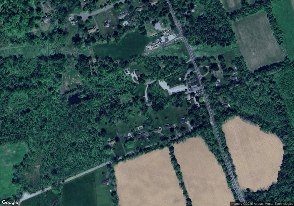
Map
Nearby Homes
- 1497 New Jersey 31
- 8 Buttzville Rd
- 7 Buttzville Ct
- 349 New Jersey 31
- 301 New Jersey 31
- 305 Route 31
- 11 Scranton Pkwy
- 50 Green Pond Rd
- 14 Tamarack Rd
- 21 Olde Forge
- 49 Henry St
- 138 Belvidere Ave
- 45 Bush St
- 77 Shippen Ridge
- 20 Belvidere Ave
- 50 Zulauf Ln
- 15 Henderson St
- 40 Washington Ave
- 9 Front St
- 11 Front St
- 223 E Quarry Rd
- 217 E Quarry Rd
- 219 E Quarry Rd
- 215 E Quarry Rd
- 1491 State Route 31
- 221 E Quarry Rd
- 213 E Quarry Rd
- 1483 State Route 31
- 211 E Quarry Rd
- 1484 State Route 31
- 1488 State Route 31
- 476 State Route 31 N
- 1497 State Route 31
- 7 Jones Farm Ln
- 89 E Quarry Rd
- 5 Jones Farm Ln
- 9 Jones Farm Ln
- 1486 State Route 31
- 1486 New Jersey 31
- 3 Jones Farm Ln