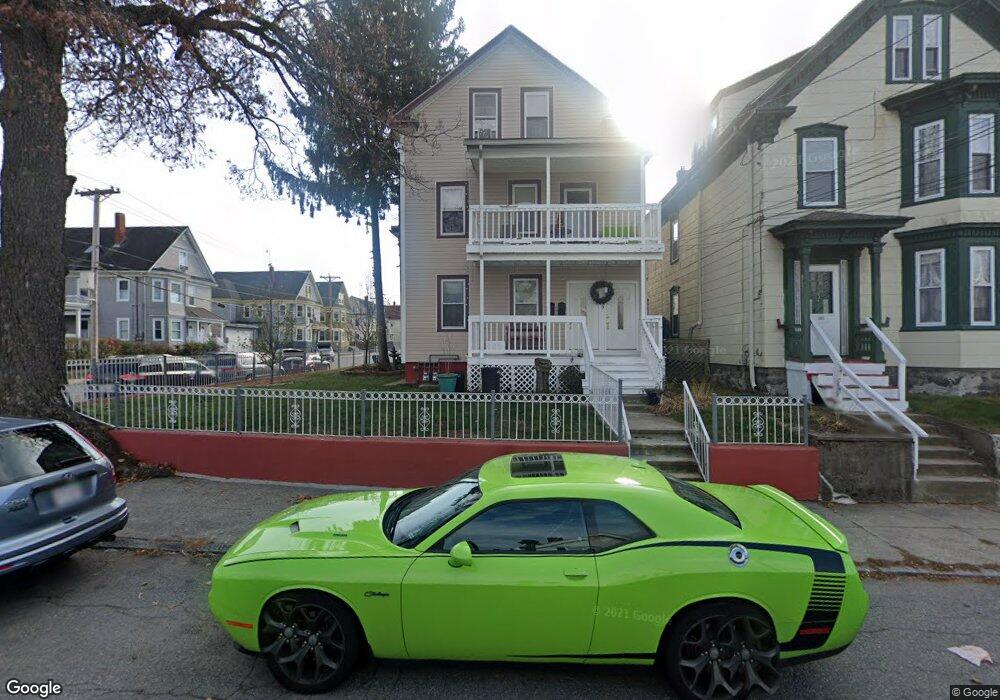
149 Abbott St Lawrence, MA 01843
South Common NeighborhoodEstimated Value: $710,689 - $884,000
4
Beds
2
Baths
2,736
Sq Ft
$293/Sq Ft
Est. Value
About This Home
This home is located at 149 Abbott St, Lawrence, MA 01843 and is currently estimated at $800,422, approximately $292 per square foot. 149 Abbott St is a home located in Essex County with nearby schools including John Breen School, South Lawrence East Elementary School, and School For Exceptional Studies.
Ownership History
Date
Name
Owned For
Owner Type
Purchase Details
Closed on
Feb 12, 2019
Sold by
Obrien-Guerrero Mary
Bought by
Obrien-Guerrero Mary and Guerrero Jose A
Current Estimated Value
Home Financials for this Owner
Home Financials are based on the most recent Mortgage that was taken out on this home.
Original Mortgage
$140,000
Outstanding Balance
$122,834
Interest Rate
4.4%
Mortgage Type
Adjustable Rate Mortgage/ARM
Estimated Equity
$677,588
Create a Home Valuation Report for This Property
The Home Valuation Report is an in-depth analysis detailing your home's value as well as a comparison with similar homes in the area
Home Values in the Area
Average Home Value in this Area
Purchase History
| Date | Buyer | Sale Price | Title Company |
|---|---|---|---|
| Obrien-Guerrero Mary | -- | -- |
Source: Public Records
Mortgage History
| Date | Status | Borrower | Loan Amount |
|---|---|---|---|
| Open | Obrien-Guerrero Mary | $140,000 |
Source: Public Records
Tax History
| Year | Tax Paid | Tax Assessment Tax Assessment Total Assessment is a certain percentage of the fair market value that is determined by local assessors to be the total taxable value of land and additions on the property. | Land | Improvement |
|---|---|---|---|---|
| 2025 | $6,209 | $705,600 | $110,300 | $595,300 |
| 2024 | $6,035 | $652,400 | $119,400 | $533,000 |
| 2023 | $5,856 | $576,400 | $110,800 | $465,600 |
| 2022 | $5,436 | $475,200 | $100,400 | $374,800 |
| 2021 | $5,288 | $431,000 | $100,400 | $330,600 |
| 2020 | $5,084 | $409,000 | $95,200 | $313,800 |
| 2019 | $5,185 | $379,000 | $79,100 | $299,900 |
| 2018 | $4,730 | $330,300 | $75,000 | $255,300 |
| 2017 | $4,367 | $284,700 | $70,800 | $213,900 |
| 2016 | $4,299 | $277,200 | $58,300 | $218,900 |
| 2015 | $4,218 | $279,000 | $58,300 | $220,700 |
Source: Public Records
Map
Nearby Homes
- 183 Farnham St Unit 189
- 119 Andover St
- 91-93 Andover St
- 161-167 S Union St
- 151-153 Bailey St
- 356-360 S Union St
- 100 Bailey St Unit 1
- 100 Bailey St Unit 3
- 46-46A Dorchester St
- 27-29 Dorchester St
- 31 Garfield St
- 82 S Broadway
- 100 Union St
- 68 Union St
- 341 S Broadway- Parcel II
- 49 Bowdoin St Unit 51
- 24 Inman St Unit 4
- 87-87A Brookfield St
- 350 Greene St Unit 410
- 350 Greene St Unit 305
- 145 Abbott St Unit 147
- 19 Phillips St
- 155 Abbott St Unit 157
- 155-157 Abbott St
- 25 Phillips St
- 141 Abbott St Unit 145
- 18 Phillips St
- 214 Farnham St Unit 218
- 148 Abbott St
- 161 Abbott St
- 26 Phillips St Unit 32
- 146 Abbott St
- 14 Phillips St Unit 1
- 14 Phillips St Unit 16
- 137 Abbott St
- 208 Farnham St
- 210 Farnham St Unit 1
- 212 Farnham St Unit 212 Farnham Street A
- 210 Farnham St Unit 210 Farnham Street 1
- 210 Farnham St Unit 212 apt 1 1st floor
Your Personal Tour Guide
Ask me questions while you tour the home.