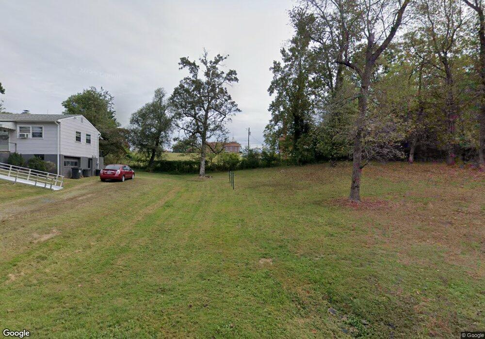
149 B St Monroe, VA 24574
Estimated Value: $113,000 - $171,000
2
Beds
1
Bath
840
Sq Ft
$169/Sq Ft
Est. Value
About This Home
This home is located at 149 B St, Monroe, VA 24574 and is currently estimated at $141,906, approximately $168 per square foot. 149 B St is a home located in Amherst County with nearby schools including Amherst Elementary School, Amherst Middle School, and Amherst County High School.
Ownership History
Date
Name
Owned For
Owner Type
Purchase Details
Closed on
Apr 25, 2007
Sold by
Ford Lillialn I
Bought by
Ford Lillian Elizabeth and Ford Frank Randolph
Current Estimated Value
Create a Home Valuation Report for This Property
The Home Valuation Report is an in-depth analysis detailing your home's value as well as a comparison with similar homes in the area
Home Values in the Area
Average Home Value in this Area
Purchase History
| Date | Buyer | Sale Price | Title Company |
|---|---|---|---|
| Ford Lillian Elizabeth | -- | None Available |
Source: Public Records
Tax History Compared to Growth
Tax History
| Year | Tax Paid | Tax Assessment Tax Assessment Total Assessment is a certain percentage of the fair market value that is determined by local assessors to be the total taxable value of land and additions on the property. | Land | Improvement |
|---|---|---|---|---|
| 2025 | $381 | $62,400 | $15,000 | $47,400 |
| 2024 | $381 | $62,400 | $15,000 | $47,400 |
| 2023 | $381 | $62,400 | $15,000 | $47,400 |
| 2022 | $381 | $62,400 | $15,000 | $47,400 |
| 2021 | $381 | $62,400 | $15,000 | $47,400 |
| 2020 | $381 | $62,400 | $15,000 | $47,400 |
| 2019 | $397 | $65,100 | $21,000 | $44,100 |
| 2018 | $397 | $65,100 | $21,000 | $44,100 |
| 2017 | $128 | $65,100 | $21,000 | $44,100 |
| 2016 | $397 | $65,100 | $21,000 | $44,100 |
| 2015 | $59 | $65,100 | $21,000 | $44,100 |
| 2014 | $59 | $65,100 | $21,000 | $44,100 |
Source: Public Records
Map
Nearby Homes
- 157 Old Country Rd
- 124-138 Cedar Gate Rd
- S Amherst Hwy
- 0 S Amherst Hwy Unit 360067
- 0 S Amherst Hwy Unit 362100
- 0 S Amherst Hwy Unit 336267
- 0 McIvor Ln
- 138 Magnolia Ln
- 621 Cedar Gate Rd
- 203 Ned Brown Rd
- 839 Cedar Gate Rd
- 379 Winesap Rd
- 893 Cedar Gate Rd
- 1358 S Coolwell Rd
- 51 Patrick Ct
- 26 Dixie Airport Rd
- 139 Grimes Dr
- 150 Glenwood Dr
- 272 Dixie Airport Rd
- 1481 Winesap Rd