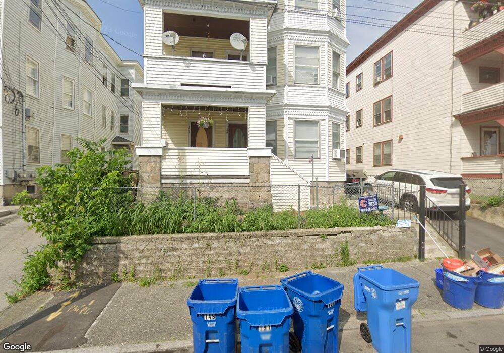
149 Bennington St Unit 151 Lawrence, MA 01841
Arlington NeighborhoodEstimated Value: $886,000 - $938,000
9
Beds
3
Baths
4,902
Sq Ft
$186/Sq Ft
Est. Value
About This Home
This home is located at 149 Bennington St Unit 151, Lawrence, MA 01841 and is currently estimated at $912,959, approximately $186 per square foot. 149 Bennington St Unit 151 is a home located in Essex County with nearby schools including School For Exceptional Studies and Central Catholic High School.
Ownership History
Date
Name
Owned For
Owner Type
Purchase Details
Closed on
Jan 14, 2002
Sold by
Lopez Jose L
Bought by
Guerrero Wendy and Barillas Samuel E
Current Estimated Value
Home Financials for this Owner
Home Financials are based on the most recent Mortgage that was taken out on this home.
Original Mortgage
$202,695
Interest Rate
7.04%
Mortgage Type
Purchase Money Mortgage
Create a Home Valuation Report for This Property
The Home Valuation Report is an in-depth analysis detailing your home's value as well as a comparison with similar homes in the area
Home Values in the Area
Average Home Value in this Area
Purchase History
| Date | Buyer | Sale Price | Title Company |
|---|---|---|---|
| Guerrero Wendy | $205,900 | -- |
Source: Public Records
Mortgage History
| Date | Status | Borrower | Loan Amount |
|---|---|---|---|
| Open | Guerrero Wendy | $270,135 | |
| Closed | Guerrero Wendy | $25,000 | |
| Closed | Guerrero Wendy | $204,624 | |
| Closed | Guerrero Wendy | $202,695 |
Source: Public Records
Tax History
| Year | Tax Paid | Tax Assessment Tax Assessment Total Assessment is a certain percentage of the fair market value that is determined by local assessors to be the total taxable value of land and additions on the property. | Land | Improvement |
|---|---|---|---|---|
| 2025 | $6,378 | $724,800 | $100,700 | $624,100 |
| 2024 | $6,521 | $705,000 | $105,800 | $599,200 |
| 2023 | $6,552 | $644,900 | $102,100 | $542,800 |
| 2022 | $6,505 | $568,600 | $96,300 | $472,300 |
| 2021 | $6,142 | $500,600 | $96,300 | $404,300 |
| 2020 | $5,689 | $457,700 | $80,200 | $377,500 |
| 2019 | $5,280 | $386,000 | $59,700 | $326,300 |
| 2018 | $5,167 | $360,800 | $54,000 | $306,800 |
| 2017 | $4,811 | $313,600 | $51,200 | $262,400 |
| 2016 | $4,368 | $281,600 | $40,000 | $241,600 |
| 2015 | $4,008 | $265,100 | $40,000 | $225,100 |
Source: Public Records
Map
Nearby Homes
- 129-131 Lexington St
- 169 Berkeley St
- 82 Oakside Ave
- 434-438 Hampshire St
- 7-9 Bennington St
- 29 Center St
- 27 Willow St Unit A
- 131A Lawrence St Unit 40
- 40 Fairmont St
- 10 Holly St
- 36 Manchester St
- 9-11 Horne St
- 179-181 West St
- 23 Chase St
- 324-326 Broadway
- 192 Union St
- 14 Buttonwood Dr
- 39 Swan Ave
- 89 Newbury St Unit 89B
- 11 Lawrence St Unit 606
- 149-151 Bennington St
- 153 Bennington St Unit 155
- 145 Bennington St Unit 147
- 96 Stearns Ave Unit 3
- 98 Stearns Ave
- 157 Bennington St
- 143A Bennington St Unit B
- 143 Bennington St Unit A
- 170 Saratoga St Unit 172
- 122-124 Bennington St
- 122 Bennington St Unit 124
- 174 Saratoga St Unit 176
- 166 Saratoga St Unit 168
- 102 Stearns Ave
- 166-168 Saratoga St
- 178 Saratoga St Unit 180
- 120 Bennington St
- 116-120B Bennington St
- 116 Bennington St Unit 120B
- 101 Stearns Ave Unit 103
Your Personal Tour Guide
Ask me questions while you tour the home.