149 Blue Bird Hill Selinsgrove, PA 17870
Estimated Value: $236,000 - $414,000
--
Bed
--
Bath
--
Sq Ft
3.41
Acres
About This Home
This home is located at 149 Blue Bird Hill, Selinsgrove, PA 17870 and is currently estimated at $299,870. 149 Blue Bird Hill is a home located in Snyder County with nearby schools including Selinsgrove Area Elementary School, Selinsgrove Intermediate School, and Selinsgrove Area Middle School.
Ownership History
Date
Name
Owned For
Owner Type
Purchase Details
Closed on
Aug 26, 2021
Sold by
Nolder Mark L and Nolder Deborah
Bought by
Moroski Joseph P and Moroski Amy L
Current Estimated Value
Home Financials for this Owner
Home Financials are based on the most recent Mortgage that was taken out on this home.
Original Mortgage
$200,000
Interest Rate
2.8%
Mortgage Type
New Conventional
Purchase Details
Closed on
May 3, 2010
Sold by
Nolder Leonard E and Nolder Grace E
Bought by
Nolder Mark L and Nolder Stephen E
Create a Home Valuation Report for This Property
The Home Valuation Report is an in-depth analysis detailing your home's value as well as a comparison with similar homes in the area
Home Values in the Area
Average Home Value in this Area
Purchase History
| Date | Buyer | Sale Price | Title Company |
|---|---|---|---|
| Moroski Joseph P | $250,000 | None Available | |
| Nolder Mark L | -- | -- |
Source: Public Records
Mortgage History
| Date | Status | Borrower | Loan Amount |
|---|---|---|---|
| Previous Owner | Moroski Joseph P | $200,000 | |
| Closed | Nolder Mark L | $0 |
Source: Public Records
Tax History Compared to Growth
Tax History
| Year | Tax Paid | Tax Assessment Tax Assessment Total Assessment is a certain percentage of the fair market value that is determined by local assessors to be the total taxable value of land and additions on the property. | Land | Improvement |
|---|---|---|---|---|
| 2025 | $2,675 | $27,540 | $2,960 | $24,580 |
| 2024 | $2,597 | $27,540 | $2,960 | $24,580 |
| 2023 | $656 | $27,540 | $2,960 | $24,580 |
| 2022 | $2,473 | $27,540 | $2,960 | $24,580 |
| 2021 | $2,473 | $27,540 | $2,960 | $24,580 |
| 2020 | $2,473 | $27,540 | $2,960 | $24,580 |
| 2019 | $2,473 | $27,540 | $2,960 | $24,580 |
| 2018 | $2,473 | $27,540 | $2,960 | $24,580 |
| 2017 | $2,446 | $27,540 | $2,960 | $24,580 |
| 2016 | $711 | $27,540 | $2,960 | $24,580 |
| 2015 | $60,072 | $27,540 | $2,960 | $24,580 |
| 2014 | $60,072 | $27,540 | $2,960 | $24,580 |
Source: Public Records
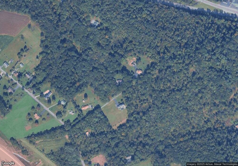
Map
Nearby Homes
- 00 Line Rd
- 1164 Grangers Rd
- 36 Rome Ct
- 21 Mark Dr
- 0 Tract 1 Rt 11 Columbia Blvd Unit 20-101944
- 0 Blvd Unit 20-101896
- 118 W 11th Ave
- 18 Maple St
- 3424 N Old Trail
- 571 Fisher Rd
- 150 N Front St
- 134 Chestnut St
- 3266 N Old Trail Unit 3268
- 144 Market St Unit 146
- 152 Market St Unit 154
- 140 Race St Unit 142
- 538 Susquehanna Ave
- 0 Gregory Dr Unit 20-82791
- 218 Gregory Dr
- 417 N 2nd St
- 202 Blue Bird Hill
- 138 Blue Bird Hill
- 57 Blue Bird Hill
- 1312 Sunbury Rd
- 5541 Route 15 S
- 1398 Sunbury Rd
- 1442 Sunbury Rd
- 1232 Sunbury Rd
- 1480 Sunbury Rd
- 1425 Sunbury Rd
- 1504 Sunbury Rd
- 5589 Route 15 S
- 1530 Sunbury Rd
- 1142 Sunbury Rd
- 5554 Route 15 S
- 1094 Sunbury Rd
- 1511 Sunbury Rd
- 1064 Sunbury Rd
- 1562 Sunbury Rd
- 1563 Sunbury Rd