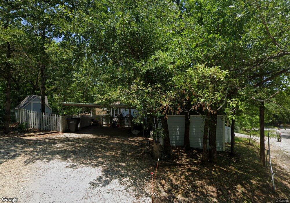
149 Cantebury Ln Pottsboro, TX 75076
Estimated Value: $370,513 - $392,000
2
Beds
2
Baths
960
Sq Ft
$401/Sq Ft
Est. Value
About This Home
This home is located at 149 Cantebury Ln, Pottsboro, TX 75076 and is currently estimated at $385,378, approximately $401 per square foot. 149 Cantebury Ln is a home located in Grayson County with nearby schools including Pottsboro Elementary School, Pottsboro Middle School, and Pottsboro High School.
Ownership History
Date
Name
Owned For
Owner Type
Purchase Details
Closed on
Aug 29, 2024
Sold by
Hirschler Eric and Hirschler Monica
Bought by
Buckley David
Current Estimated Value
Purchase Details
Closed on
Jul 25, 2012
Sold by
Purdy Donald L
Bought by
Mcdonald Bennie and Mcdoanld Carol
Purchase Details
Closed on
Jul 15, 2011
Sold by
Walls Kyle and Nicholson Cheryl
Bought by
Purdy Donald L
Create a Home Valuation Report for This Property
The Home Valuation Report is an in-depth analysis detailing your home's value as well as a comparison with similar homes in the area
Home Values in the Area
Average Home Value in this Area
Purchase History
| Date | Buyer | Sale Price | Title Company |
|---|---|---|---|
| Buckley David | -- | Red River Title | |
| Mcdonald Bennie | -- | Chapin Title Co Inc | |
| Purdy Donald L | -- | Chapin Title Co Inc |
Source: Public Records
Tax History Compared to Growth
Tax History
| Year | Tax Paid | Tax Assessment Tax Assessment Total Assessment is a certain percentage of the fair market value that is determined by local assessors to be the total taxable value of land and additions on the property. | Land | Improvement |
|---|---|---|---|---|
| 2025 | $3,665 | $390,900 | $95,544 | $295,356 |
| 2024 | $3,665 | $264,528 | $94,003 | $170,525 |
| 2023 | $3,224 | $232,277 | $59,929 | $172,348 |
| 2022 | $3,564 | $226,458 | $40,711 | $185,747 |
| 2021 | $2,088 | $128,398 | $19,655 | $108,743 |
| 2020 | $1,918 | $113,637 | $21,621 | $92,016 |
| 2019 | $2,123 | $120,005 | $27,517 | $92,488 |
| 2018 | $2,003 | $111,796 | $15,724 | $96,072 |
| 2017 | $1,865 | $102,758 | $15,724 | $87,034 |
| 2016 | $1,851 | $101,997 | $15,724 | $86,273 |
| 2015 | $0 | $101,081 | $15,724 | $85,357 |
| 2014 | -- | $98,132 | $15,724 | $82,408 |
Source: Public Records
Map
Nearby Homes
- 83 Mayfield Ln
- 491 Black Forest Dr
- 11 Mayfield Ln
- 545 Black Forest Dr
- 16 Wales Dr
- 226 Cambridge Dr
- 142 Wales Dr
- 219 Ray Rd
- 191 Black Forest Dr
- 33 Queens Dr
- 207 Wales Dr
- 81 Windsor Dr
- 34 Cambridge Dr
- 344 Castle Dr
- 116 Oak Hills Dr
- 258 Lou-Sand Hill Rd
- 766 Lakepoint Loop
- 118 Hacienda Dr
- 588 Lakepoint Loop
- 188 Hacienda Dr
- 149 Canterbury Ln
- 97 Canterbury Ln
- 79 Cantebury Ln
- 148 Cantebury Ln
- 148 Cantebury Ln
- 96 Westminister Dr
- 98 Westminister Dr
- 98 Westminister Dr
- 138 Cantebury Ln
- 155 Westminister Dr
- 109 Westminister Dr
- 97 Cantebury Ln
- 97 Cantebury Ln
- 107 Mayfield Ln
- 77 Westminister Dr
- 176 Westminister Dr
- 148 Canterbury
- TBD Canterbury Ln
- 205 Westminister Dr
- 204 Westminister Dr