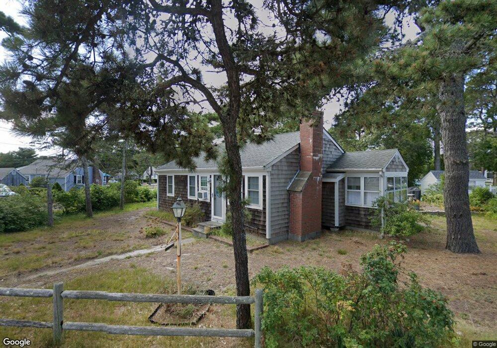
149 Captain Chase Rd Dennis Port, MA 02639
Dennis Port NeighborhoodEstimated Value: $522,000 - $623,000
3
Beds
1
Bath
768
Sq Ft
$770/Sq Ft
Est. Value
About This Home
This home is located at 149 Captain Chase Rd, Dennis Port, MA 02639 and is currently estimated at $591,540, approximately $770 per square foot. 149 Captain Chase Rd is a home located in Barnstable County with nearby schools including Dennis-Yarmouth Regional High School and St. Pius X. School.
Ownership History
Date
Name
Owned For
Owner Type
Purchase Details
Closed on
Oct 4, 2019
Sold by
Tucker Dorothea J
Bought by
Martin Jason W and Martin Cris L
Current Estimated Value
Purchase Details
Closed on
Oct 1, 2019
Sold by
Valerie E Peterson T 2016
Bought by
Martin Jason W and Martin Cris L
Purchase Details
Closed on
May 3, 2016
Sold by
Peterson Valerie E
Bought by
Valerie E Peterson T
Purchase Details
Closed on
Aug 6, 1985
Bought by
Valerie E Peterson T
Create a Home Valuation Report for This Property
The Home Valuation Report is an in-depth analysis detailing your home's value as well as a comparison with similar homes in the area
Home Values in the Area
Average Home Value in this Area
Purchase History
| Date | Buyer | Sale Price | Title Company |
|---|---|---|---|
| Martin Jason W | $150,000 | -- | |
| Martin Jason W | -- | -- | |
| Valerie E Peterson T | -- | -- | |
| Valerie E Peterson T | -- | -- |
Source: Public Records
Tax History Compared to Growth
Tax History
| Year | Tax Paid | Tax Assessment Tax Assessment Total Assessment is a certain percentage of the fair market value that is determined by local assessors to be the total taxable value of land and additions on the property. | Land | Improvement |
|---|---|---|---|---|
| 2025 | $2,327 | $537,300 | $269,000 | $268,300 |
| 2024 | $2,159 | $491,800 | $258,700 | $233,100 |
| 2023 | $2,088 | $447,200 | $235,200 | $212,000 |
| 2022 | $1,907 | $340,600 | $185,400 | $155,200 |
| 2021 | $1,839 | $304,900 | $181,700 | $123,200 |
| 2020 | $1,790 | $293,500 | $181,700 | $111,800 |
| 2019 | $3,122 | $292,800 | $193,500 | $99,300 |
| 2018 | $1,733 | $273,300 | $184,200 | $89,100 |
| 2017 | $1,573 | $255,800 | $169,600 | $86,200 |
| 2016 | $1,521 | $232,900 | $160,000 | $72,900 |
| 2015 | $1,491 | $232,900 | $160,000 | $72,900 |
| 2014 | $1,416 | $223,000 | $150,300 | $72,700 |
Source: Public Records
Map
Nearby Homes
- 64 Beaten Rd
- 37 Ocean Dr Unit 2
- 154 Old Wharf Rd Unit 26
- 154 Old Wharf Rd Unit 14
- 112 Old Wharf Rd Unit E4
- 112 Old Wharf Rd Unit E1
- 120 Old Wharf Rd Unit 11
- 217 Old Wharf Rd Unit 64
- 241 Old Wharf Rd Unit 82
- 241 Old Wharf Rd Unit 127
- 241 Old Wharf Rd Unit 90
- 31 Easy St
- 80 Michaels Ave
- 262 Old Wharf Rd Unit 67
- 262 Old Wharf Rd Unit 5
- 262 Old Wharf Rd Unit 5
- 262 Old Wharf Rd Unit 20
- 262 Old Wharf Rd Unit 87
- 37 Beach Hills Rd
- 37-A Beach Hills Rd
- 174 Capt Chase Rd Unit 1
- 176 Capt Chase U1 Rd Unit 1
- 176 Capt Chase U6 Rd Unit 6
- 143 Captain Chase Rd
- 32 Uncle Rolf Rd
- 30 Uncle Rolf Rd
- 153 Captain Chase Rd
- 38 Uncle Rolf Rd
- 162 Capt Chase Rd Unit 6
- 162 Capt Chase Rd Unit 2
- 142 Captain Chase Rd
- 146 Captain Chase Rd
- 139 Captain Chase Rd
- 150 Captain Chase Rd
- 26 Uncle Rolf Rd
- 31 Uncle Rolf Rd
- 157 Captain Chase Rd
- 33 Uncle Rolf Rd
- 42 Uncle Rolf Rd
- 138 Captain Chase Rd