149 Carriage Path S Milford, CT 06460
Woodmont NeighborhoodEstimated Value: $220,000 - $274,000
1
Bed
1
Bath
765
Sq Ft
$311/Sq Ft
Est. Value
About This Home
This home is located at 149 Carriage Path S, Milford, CT 06460 and is currently estimated at $237,968, approximately $311 per square foot. 149 Carriage Path S is a home located in New Haven County with nearby schools including Orchard Hills School, East Shore Middle School, and Joseph A. Foran High School.
Ownership History
Date
Name
Owned For
Owner Type
Purchase Details
Closed on
Aug 29, 1996
Sold by
Abbazia Edward W
Bought by
Anderson Donna M
Current Estimated Value
Home Financials for this Owner
Home Financials are based on the most recent Mortgage that was taken out on this home.
Original Mortgage
$57,000
Interest Rate
8.18%
Mortgage Type
Unknown
Purchase Details
Closed on
Nov 18, 1987
Sold by
Lelio Harry
Bought by
Abbazia Edward W
Home Financials for this Owner
Home Financials are based on the most recent Mortgage that was taken out on this home.
Original Mortgage
$90,000
Interest Rate
11.22%
Mortgage Type
Purchase Money Mortgage
Create a Home Valuation Report for This Property
The Home Valuation Report is an in-depth analysis detailing your home's value as well as a comparison with similar homes in the area
Home Values in the Area
Average Home Value in this Area
Purchase History
| Date | Buyer | Sale Price | Title Company |
|---|---|---|---|
| Anderson Donna M | $60,000 | -- | |
| Anderson Donna M | $60,000 | -- | |
| Abbazia Edward W | $113,500 | -- |
Source: Public Records
Mortgage History
| Date | Status | Borrower | Loan Amount |
|---|---|---|---|
| Closed | Abbazia Edward W | $57,000 | |
| Previous Owner | Abbazia Edward W | $90,000 | |
| Closed | Abbazia Edward W | $3,000 |
Source: Public Records
Tax History Compared to Growth
Tax History
| Year | Tax Paid | Tax Assessment Tax Assessment Total Assessment is a certain percentage of the fair market value that is determined by local assessors to be the total taxable value of land and additions on the property. | Land | Improvement |
|---|---|---|---|---|
| 2025 | $2,568 | $86,890 | $0 | $86,890 |
| 2024 | $2,532 | $86,890 | $0 | $86,890 |
| 2023 | $2,361 | $86,890 | $0 | $86,890 |
| 2022 | $2,316 | $86,890 | $0 | $86,890 |
| 2021 | $2,120 | $76,670 | $0 | $76,670 |
| 2020 | $2,122 | $76,670 | $0 | $76,670 |
| 2019 | $2,125 | $76,670 | $0 | $76,670 |
| 2018 | $2,127 | $76,670 | $0 | $76,670 |
| 2017 | $2,131 | $76,670 | $0 | $76,670 |
| 2016 | $2,671 | $95,940 | $0 | $95,940 |
| 2015 | $2,675 | $95,940 | $0 | $95,940 |
| 2014 | $2,611 | $95,940 | $0 | $95,940 |
Source: Public Records
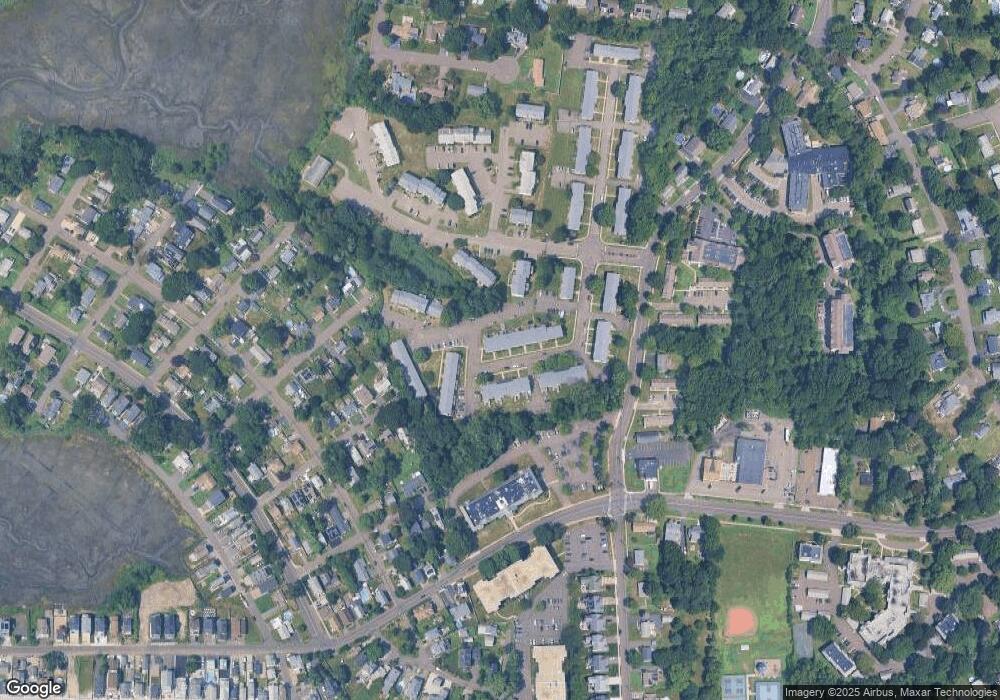
Map
Nearby Homes
- 97 Carriage Path S Unit 97
- 5 Vine St
- 571 Pond Point Ave
- 565 Pond Point Ave
- 25 Carmen Rd
- 44 Beachland Ave
- 470 Pond Point Ave
- 119 Melba St
- 44 Chester St
- 40 Devine Place
- 32 Morehouse Ave
- 38 Elaine Rd
- 13 Richard St
- 10 Point Beach Dr
- 16 Point Beach Dr
- 25 Summer Place
- 83 Yale Ave
- 141 Ridgewood Dr
- 7 Orland St
- 62 Long Island View Rd
- 147 Carriage Path S
- 147 Carriage Path S Unit 147
- 145 Carriage Path S
- 145 Carriage Path S Unit 145
- 143 Carriage Path S
- 141 Carriage Path S
- 139 Carriage Path S
- 139 Carriage Path S
- 139 Carriage Path S Unit 139
- 137 Carriage Path S
- 135 Carriage Path S
- 133 Carriage Path S
- 146 Carriage Path S
- 148 Carriage Path S
- 148 Carriage Path S Unit 148
- 150 Carriage Path S
- 150 Carriage Path S Unit 150
- 150 Carriage Path S
- 98 Carriage Path S
- 97 Carriage Path S