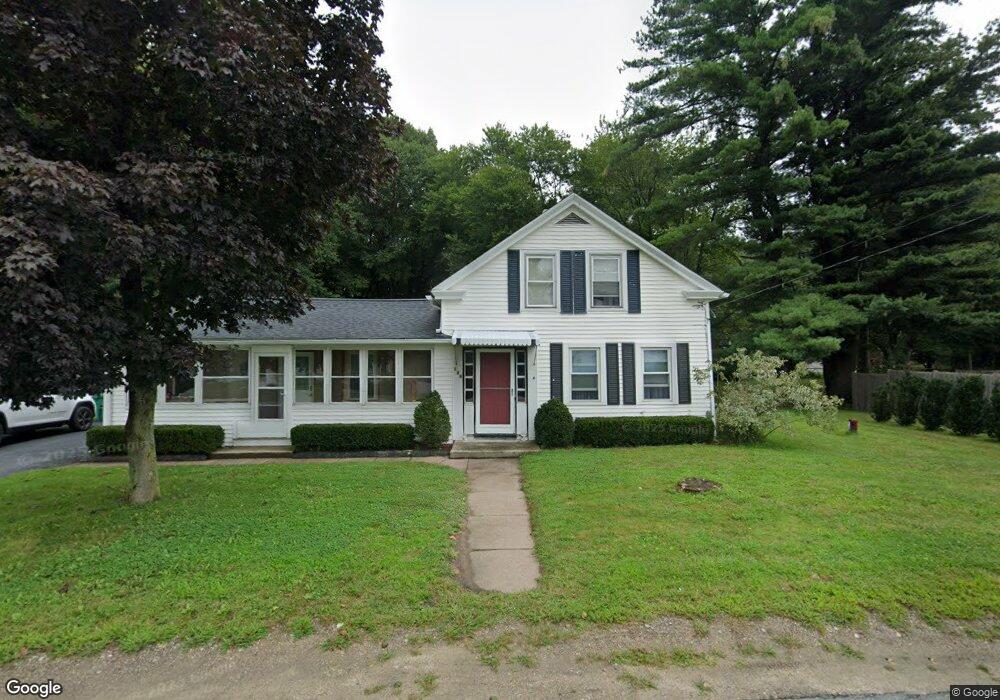
149 Central St Millville, MA 01529
Estimated Value: $439,038 - $563,000
4
Beds
2
Baths
1,692
Sq Ft
$288/Sq Ft
Est. Value
About This Home
This home is located at 149 Central St, Millville, MA 01529 and is currently estimated at $487,260, approximately $287 per square foot. 149 Central St is a home located in Worcester County with nearby schools including Blackstone-Millville Regional High School.
Ownership History
Date
Name
Owned For
Owner Type
Purchase Details
Closed on
May 31, 2002
Sold by
Bickom Hope E
Bought by
Vondras Philip P and Early Kim M
Current Estimated Value
Home Financials for this Owner
Home Financials are based on the most recent Mortgage that was taken out on this home.
Original Mortgage
$178,600
Interest Rate
7%
Mortgage Type
Purchase Money Mortgage
Purchase Details
Closed on
Jul 19, 1996
Sold by
Maloney Michael T
Bought by
Bickom John H and Bickom Hope E
Home Financials for this Owner
Home Financials are based on the most recent Mortgage that was taken out on this home.
Original Mortgage
$85,500
Interest Rate
8.28%
Mortgage Type
Purchase Money Mortgage
Create a Home Valuation Report for This Property
The Home Valuation Report is an in-depth analysis detailing your home's value as well as a comparison with similar homes in the area
Home Values in the Area
Average Home Value in this Area
Purchase History
| Date | Buyer | Sale Price | Title Company |
|---|---|---|---|
| Vondras Philip P | $188,000 | -- | |
| Bickom John H | $119,000 | -- |
Source: Public Records
Mortgage History
| Date | Status | Borrower | Loan Amount |
|---|---|---|---|
| Open | Bickom John H | $178,600 | |
| Closed | Bickom John H | $178,600 | |
| Previous Owner | Bickom John H | $85,500 |
Source: Public Records
Tax History
| Year | Tax Paid | Tax Assessment Tax Assessment Total Assessment is a certain percentage of the fair market value that is determined by local assessors to be the total taxable value of land and additions on the property. | Land | Improvement |
|---|---|---|---|---|
| 2025 | $4,065 | $308,200 | $78,700 | $229,500 |
| 2024 | $4,798 | $362,900 | $55,800 | $307,100 |
| 2023 | $4,639 | $334,000 | $55,800 | $278,200 |
| 2022 | $4,657 | $308,200 | $78,700 | $229,500 |
| 2021 | $4,429 | $278,000 | $78,700 | $199,300 |
| 2020 | $3,749 | $251,300 | $76,100 | $175,200 |
| 2019 | $2,342 | $144,900 | $0 | $144,900 |
| 2018 | $3,262 | $197,000 | $96,400 | $100,600 |
| 2017 | $2,956 | $183,500 | $96,400 | $87,100 |
| 2016 | $3,034 | $179,400 | $96,400 | $83,000 |
| 2015 | $2,870 | $166,500 | $88,800 | $77,700 |
| 2014 | $2,857 | $166,300 | $86,300 | $80,000 |
Source: Public Records
Map
Nearby Homes
- 40 Providence St
- 0 Buxton St Unit 1386233
- 33 Harkness Rd
- 50 Main St
- 111 Cider Mill Rd
- 41 Chestnut Hill Rd
- 1003 Victory Hwy
- 90 Chestnut Hill Rd
- 29 Cork Cir Unit F
- 40 School St
- 30 Alpine Way
- 179 Thayer St
- 1 Tupperware Dr Unit 138
- 1 Tupperware Dr Unit 326
- 1 Tupperware Dr Unit 221
- 57 Kempton Rd
- 170 Providence Pike Unit 102
- 170 Providence Pike Unit 7
- 0 Mendon Rd Unit 1406977
- 52 Mendon Rd
- 153 Central St
- 148 Central St
- 137 Central St
- 144 Central St
- 155 Central St
- 158 Central St
- 140 Central St
- 157 Central St
- 52 Providence St
- 11 Diana Cir
- 129 Central St Unit 1
- 72 Providence St
- 72 Providence St Unit B
- 72 Providence St Unit 3
- 72 Providence St Unit A
- 72 Providence St Unit 2
- 136 Central St
- 7 Diana Cir
- 0 170 Central St Unit 71596878
- 65 Providence St
Your Personal Tour Guide
Ask me questions while you tour the home.