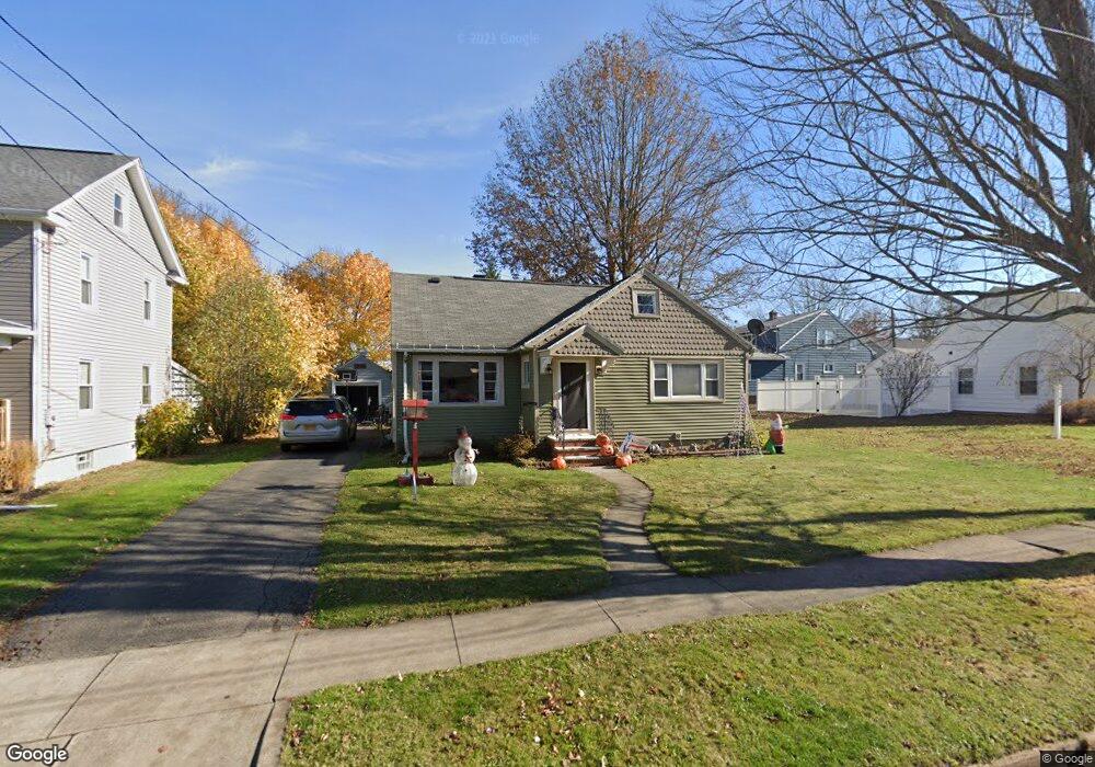
149 Colfax St Jamestown, NY 14701
Estimated Value: $96,000 - $115,000
2
Beds
1
Bath
1,301
Sq Ft
$83/Sq Ft
Est. Value
About This Home
This home is located at 149 Colfax St, Jamestown, NY 14701 and is currently estimated at $107,454, approximately $82 per square foot. 149 Colfax St is a home located in Chautauqua County with nearby schools including Jamestown High School, Jamestown SDA School, and Chautauqua Christian Academy.
Ownership History
Date
Name
Owned For
Owner Type
Purchase Details
Closed on
Aug 19, 2009
Sold by
Maloney Eric
Bought by
Brandow Terry L
Current Estimated Value
Home Financials for this Owner
Home Financials are based on the most recent Mortgage that was taken out on this home.
Original Mortgage
$61,269
Outstanding Balance
$39,907
Interest Rate
5.19%
Mortgage Type
Purchase Money Mortgage
Estimated Equity
$67,547
Purchase Details
Closed on
Mar 31, 2000
Sold by
Hall Carol A
Bought by
Maloney Eric W
Purchase Details
Closed on
Dec 30, 1994
Sold by
Bauer Celeste
Bought by
Hall Carol A
Create a Home Valuation Report for This Property
The Home Valuation Report is an in-depth analysis detailing your home's value as well as a comparison with similar homes in the area
Home Values in the Area
Average Home Value in this Area
Purchase History
| Date | Buyer | Sale Price | Title Company |
|---|---|---|---|
| Brandow Terry L | $62,400 | Neil Robinson | |
| Maloney Eric W | $50,500 | Richard Fessenden | |
| Hall Carol A | $45,500 | -- |
Source: Public Records
Mortgage History
| Date | Status | Borrower | Loan Amount |
|---|---|---|---|
| Open | Brandow Terry L | $61,269 |
Source: Public Records
Tax History
| Year | Tax Paid | Tax Assessment Tax Assessment Total Assessment is a certain percentage of the fair market value that is determined by local assessors to be the total taxable value of land and additions on the property. | Land | Improvement |
|---|---|---|---|---|
| 2024 | $2,641 | $50,500 | $4,500 | $46,000 |
| 2023 | $2,634 | $50,500 | $4,500 | $46,000 |
| 2022 | $2,623 | $50,500 | $4,500 | $46,000 |
| 2021 | $2,628 | $50,500 | $4,500 | $46,000 |
| 2020 | $2,625 | $50,500 | $4,500 | $46,000 |
| 2019 | $1,627 | $50,500 | $4,500 | $46,000 |
| 2018 | $2,608 | $50,500 | $4,500 | $46,000 |
| 2017 | $2,625 | $50,500 | $4,500 | $46,000 |
| 2016 | $2,619 | $50,500 | $4,500 | $46,000 |
| 2015 | -- | $50,500 | $4,500 | $46,000 |
| 2014 | -- | $50,500 | $4,500 | $46,000 |
Source: Public Records
Map
Nearby Homes
Your Personal Tour Guide
Ask me questions while you tour the home.