Estimated Value: $228,000 - $241,000
3
Beds
2
Baths
1,438
Sq Ft
$164/Sq Ft
Est. Value
About This Home
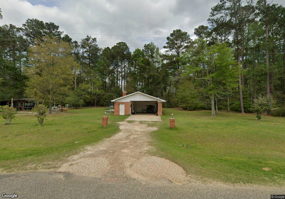
This home is located at 149 Drew Rd Unit 1, Cairo, GA 39827 and is currently estimated at $236,000, approximately $164 per square foot. 149 Drew Rd Unit 1 is a home located in Grady County.
Ownership History
Date
Name
Owned For
Owner Type
Purchase Details
Closed on
Feb 27, 2019
Sold by
The Dexter Grp Trust
Bought by
Equity Trust Co Custodian Fbo
Current Estimated Value
Purchase Details
Closed on
Feb 1, 2017
Sold by
Sg Capital Partners Llc
Bought by
The Dexter Grp Trust
Purchase Details
Closed on
Dec 8, 2015
Sold by
Harbour Portfolio Vii Lp
Bought by
Sg Capital Partners Llc
Purchase Details
Closed on
Aug 23, 2011
Sold by
Federal National Mortgage Association
Bought by
Harbour Portfolio Vii Lp
Purchase Details
Closed on
Oct 6, 2010
Sold by
Bac Home Loans Servicing Lp
Bought by
Federal National Mortgage Association
Purchase Details
Closed on
Jul 19, 1988
Bought by
Dekle Mack S
Create a Home Valuation Report for This Property
The Home Valuation Report is an in-depth analysis detailing your home's value as well as a comparison with similar homes in the area
Purchase History
| Date | Buyer | Sale Price | Title Company |
|---|---|---|---|
| Equity Trust Co Custodian Fbo | $28,335 | -- | |
| The Dexter Grp Trust | $23,720 | -- | |
| Sg Capital Partners Llc | $24,447 | -- | |
| Harbour Portfolio Vii Lp | $15,543 | -- | |
| Federal National Mortgage Association | -- | -- | |
| Bac Home Loans Servicing Lp | -- | -- | |
| Dekle Mack S | -- | -- |
Source: Public Records
Tax History
| Year | Tax Paid | Tax Assessment Tax Assessment Total Assessment is a certain percentage of the fair market value that is determined by local assessors to be the total taxable value of land and additions on the property. | Land | Improvement |
|---|---|---|---|---|
| 2025 | $1,815 | $74,249 | $7,417 | $66,832 |
| 2024 | $1,815 | $57,053 | $4,474 | $52,579 |
| 2023 | $1,579 | $51,310 | $4,753 | $46,557 |
| 2022 | $1,579 | $51,310 | $4,753 | $46,557 |
| 2021 | $1,616 | $52,336 | $4,753 | $47,583 |
| 2020 | $1,622 | $52,336 | $4,753 | $47,583 |
| 2019 | $1,622 | $52,336 | $4,753 | $47,583 |
| 2018 | $1,522 | $52,336 | $4,753 | $47,583 |
| 2017 | $1,449 | $52,336 | $4,753 | $47,583 |
| 2016 | $1,239 | $44,474 | $4,753 | $39,721 |
| 2015 | $1,224 | $44,474 | $4,753 | $39,721 |
| 2014 | $1,225 | $44,474 | $4,753 | $39,721 |
| 2013 | -- | $32,942 | $6,723 | $26,219 |
Source: Public Records
Map
Nearby Homes
- 149 Drew Rd
- 2580 Pierce Chapel Rd
- 141 Drew Rd
- 130 Atkinson Ln
- 189 Drew Rd
- 116 Atkinson Ln
- 2604 Pierce Chapel Rd
- 2517 Pierce Chapel Rd
- 166 White Ln
- 197 Hudson Rd
- 197 White Ln
- 2681 Pierce Chapel Rd
- 198 White Ln
- 149 Hudson Rd
- 220 Hudson Rd
- 254 Hudson Rd
- 170 Hudson Rd
- 146 Hudson Rd
- 219 Hudson Road (10 Acres)
- 240 Hudson Rd
Your Personal Tour Guide
Ask me questions while you tour the home.