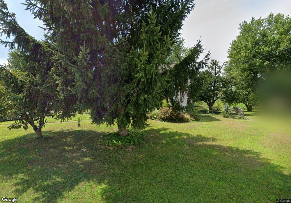
149 Forrest Rd Telford, PA 18969
Estimated Value: $403,000 - $450,000
3
Beds
2
Baths
1,490
Sq Ft
$290/Sq Ft
Est. Value
About This Home
This home is located at 149 Forrest Rd, Telford, PA 18969 and is currently estimated at $431,690, approximately $289 per square foot. 149 Forrest Rd is a home located in Montgomery County with nearby schools including Franconia Elementary School, Indian Crest Middle School, and Souderton Area Senior High School.
Ownership History
Date
Name
Owned For
Owner Type
Purchase Details
Closed on
Feb 9, 2018
Sold by
Piston George C
Bought by
Piston Daniel C and Piston Christine D
Current Estimated Value
Home Financials for this Owner
Home Financials are based on the most recent Mortgage that was taken out on this home.
Original Mortgage
$192,000
Interest Rate
3.99%
Mortgage Type
New Conventional
Purchase Details
Closed on
May 8, 2012
Sold by
Piston George C and Brelsford Patricia A
Bought by
Piston George C
Create a Home Valuation Report for This Property
The Home Valuation Report is an in-depth analysis detailing your home's value as well as a comparison with similar homes in the area
Home Values in the Area
Average Home Value in this Area
Purchase History
| Date | Buyer | Sale Price | Title Company |
|---|---|---|---|
| Piston Daniel C | -- | -- | |
| Piston George C | -- | None Available |
Source: Public Records
Mortgage History
| Date | Status | Borrower | Loan Amount |
|---|---|---|---|
| Closed | Piston Daniel C | $192,000 |
Source: Public Records
Tax History Compared to Growth
Tax History
| Year | Tax Paid | Tax Assessment Tax Assessment Total Assessment is a certain percentage of the fair market value that is determined by local assessors to be the total taxable value of land and additions on the property. | Land | Improvement |
|---|---|---|---|---|
| 2025 | $4,769 | $118,740 | -- | -- |
| 2024 | $4,769 | $118,740 | -- | -- |
| 2023 | $4,550 | $118,740 | $0 | $0 |
| 2022 | $4,411 | $118,740 | $0 | $0 |
| 2021 | $4,319 | $118,740 | $0 | $0 |
| 2020 | $4,260 | $118,740 | $0 | $0 |
| 2019 | $4,111 | $125,520 | $48,380 | $77,140 |
| 2018 | $4,449 | $125,520 | $48,380 | $77,140 |
| 2017 | $4,337 | $125,520 | $48,380 | $77,140 |
| 2016 | $4,289 | $125,520 | $48,380 | $77,140 |
| 2015 | $4,172 | $125,520 | $48,380 | $77,140 |
| 2014 | $4,172 | $125,520 | $48,380 | $77,140 |
Source: Public Records
Map
Nearby Homes
- 109 Forrest Rd
- 820 Evergreen Cir
- 211 Grove Ct
- 799 Evergreen Cir
- 100 Anjou Ct
- 839 Rising Sun Rd
- 2580 Wellington Way
- 3443 Devlin Way
- 270 Telford Pike
- 2513 Wellington Way
- 157 Erie Ave
- 317 Pleasant Valley Dr
- 314 Harleysville Pike
- 20 Ryan Ct
- 5 Ryan Ct
- 226 N Main St
- 478 Smokepipe Rd
- 308 Erie Ave
- 654 Allentown Rd
- 196 Penn Ave
- 153 Forrest Rd
- 145 Forrest Rd
- 159 Forrest Rd
- 141 Forrest Rd
- 144 Forrest Rd
- 101 Winding Way
- 107 Winding Way
- 103 Winding Way
- 133 Forrest Rd
- 100 Willow Bend Dr Unit DEVONSHIRE
- 100 Willow Bend Dr Unit HAWTHORNE
- 100 Willow Bend Dr Unit SAVANNAH
- 100 Willow Bend Dr Unit COVINGTON
- 655 Cowpath Rd
- 655 Cowpath Rd Unit WAREHOUSE
- 655 Cowpath Rd Unit BARN STORAGE ONLY
- 701 Cowpath Rd
- 105 Winding Way
- 713 Cowpath Rd
- 111 Winding Way