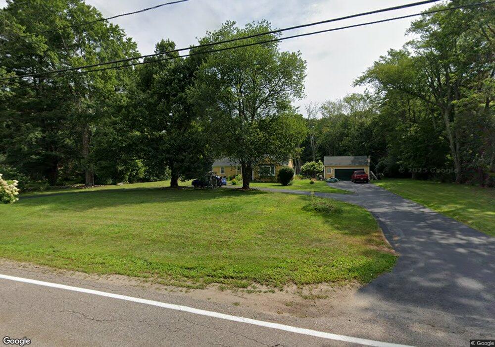
149 Holmes St Hanson, MA 02341
Estimated Value: $519,696 - $668,000
4
Beds
2
Baths
1,624
Sq Ft
$364/Sq Ft
Est. Value
About This Home
This home is located at 149 Holmes St, Hanson, MA 02341 and is currently estimated at $591,924, approximately $364 per square foot. 149 Holmes St is a home located in Plymouth County.
Ownership History
Date
Name
Owned For
Owner Type
Purchase Details
Closed on
Apr 25, 2024
Sold by
Beauvais David C and Beauvais Gloria M
Bought by
Beauvais Ft and Beauvais
Current Estimated Value
Purchase Details
Closed on
Nov 1, 1990
Sold by
Thomas Stanley W
Bought by
Beauvais David C
Create a Home Valuation Report for This Property
The Home Valuation Report is an in-depth analysis detailing your home's value as well as a comparison with similar homes in the area
Home Values in the Area
Average Home Value in this Area
Purchase History
| Date | Buyer | Sale Price | Title Company |
|---|---|---|---|
| Beauvais Ft | -- | None Available | |
| Beauvais Ft | -- | None Available | |
| Beauvais David C | $139,000 | -- | |
| Beauvais David C | $139,000 | -- |
Source: Public Records
Mortgage History
| Date | Status | Borrower | Loan Amount |
|---|---|---|---|
| Previous Owner | Beauvais David C | $172,562 | |
| Previous Owner | Beauvais David C | $200,000 | |
| Previous Owner | Beauvais David C | $165,000 | |
| Previous Owner | Beauvais David C | $50,000 |
Source: Public Records
Tax History
| Year | Tax Paid | Tax Assessment Tax Assessment Total Assessment is a certain percentage of the fair market value that is determined by local assessors to be the total taxable value of land and additions on the property. | Land | Improvement |
|---|---|---|---|---|
| 2025 | $5,447 | $407,100 | $184,900 | $222,200 |
| 2024 | $5,345 | $399,500 | $179,600 | $219,900 |
| 2023 | $5,342 | $376,700 | $179,600 | $197,100 |
| 2022 | $5,220 | $345,900 | $163,200 | $182,700 |
| 2021 | $4,763 | $315,400 | $157,000 | $158,400 |
| 2020 | $4,700 | $307,800 | $151,600 | $156,200 |
| 2019 | $4,577 | $294,700 | $148,700 | $146,000 |
| 2018 | $4,532 | $286,300 | $143,000 | $143,300 |
| 2017 | $0 | $275,500 | $136,200 | $139,300 |
| 2016 | $4,464 | $269,700 | $136,200 | $133,500 |
| 2015 | $4,255 | $267,300 | $136,200 | $131,100 |
Source: Public Records
Map
Nearby Homes
- 61 Sawmill Ln
- 61 Sawmill Ln Unit 61
- 361A County Rd
- 501 W Washington St
- 361 County Rd
- Lot 6 Way
- Lot 2 Harvard Rd
- 72 Phillips St
- 26 Franklin St
- 126-130 Franklin St
- 84 Liberty St
- Lot 5 Princeton Way
- 1754 Central St
- 161 Winter St Unit 11
- 1054 Main St
- 724 Whitman St
- 23 Bell Dr
- 22 Howland Trail Unit 34
- 7 Hayford Trail Unit 12
- 5 Hayford Trail Unit 11
Your Personal Tour Guide
Ask me questions while you tour the home.