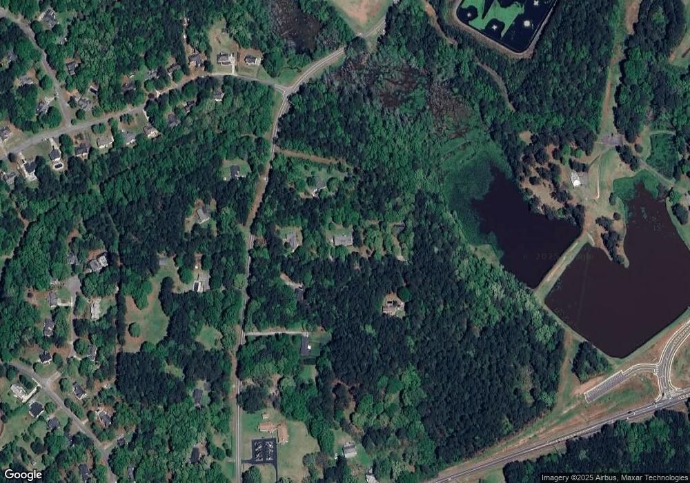
149 Howard Rd Senoia, GA 30276
Estimated Value: $237,000 - $422,000
3
Beds
2
Baths
1,902
Sq Ft
$182/Sq Ft
Est. Value
About This Home
This home is located at 149 Howard Rd, Senoia, GA 30276 and is currently estimated at $346,883, approximately $182 per square foot. 149 Howard Rd is a home located in Coweta County with nearby schools including Eastside Elementary School, East Coweta Middle School, and East Coweta High School.
Ownership History
Date
Name
Owned For
Owner Type
Purchase Details
Closed on
May 15, 2007
Sold by
Brook Joel Leroy and Brook M
Bought by
Brook Martha Pelot and Brook Leroy Joel
Current Estimated Value
Home Financials for this Owner
Home Financials are based on the most recent Mortgage that was taken out on this home.
Original Mortgage
$134,400
Outstanding Balance
$81,528
Interest Rate
6.12%
Mortgage Type
Stand Alone Second
Estimated Equity
$265,355
Purchase Details
Closed on
May 14, 1991
Bought by
Brook Joel Leroy and Brook M
Purchase Details
Closed on
Nov 27, 1990
Bought by
Brook Joel Leroy
Purchase Details
Closed on
May 31, 1986
Bought by
Brook Lance R
Create a Home Valuation Report for This Property
The Home Valuation Report is an in-depth analysis detailing your home's value as well as a comparison with similar homes in the area
Home Values in the Area
Average Home Value in this Area
Purchase History
| Date | Buyer | Sale Price | Title Company |
|---|---|---|---|
| Brook Martha Pelot | -- | -- | |
| Brook Joel Leroy | -- | -- | |
| Brook Joel Leroy | -- | -- | |
| Brook Lance R | -- | -- |
Source: Public Records
Mortgage History
| Date | Status | Borrower | Loan Amount |
|---|---|---|---|
| Open | Brook Martha Pelot | $134,400 | |
| Closed | Brook Martha Pelot | $134,400 |
Source: Public Records
Tax History Compared to Growth
Tax History
| Year | Tax Paid | Tax Assessment Tax Assessment Total Assessment is a certain percentage of the fair market value that is determined by local assessors to be the total taxable value of land and additions on the property. | Land | Improvement |
|---|---|---|---|---|
| 2024 | $640 | $91,786 | $9,331 | $82,454 |
| 2023 | $640 | $105,764 | $15,120 | $90,644 |
| 2022 | $514 | $69,290 | $8,640 | $60,650 |
| 2021 | $478 | $61,758 | $8,229 | $53,529 |
| 2020 | $478 | $61,758 | $8,229 | $53,529 |
| 2019 | $500 | $56,529 | $9,288 | $47,242 |
| 2018 | $504 | $56,529 | $9,288 | $47,242 |
| 2017 | $503 | $56,529 | $9,287 | $47,242 |
| 2016 | $794 | $56,529 | $9,288 | $47,242 |
| 2015 | $769 | $56,529 | $9,288 | $47,242 |
| 2014 | $754 | $56,529 | $9,288 | $47,242 |
Source: Public Records
Map
Nearby Homes
- 90 Howard Rd
- 36 Cumberland Trail
- 260 Willow Dell Dr
- 215 Duck Dr
- 71 Lower Creek Trail
- 103 Morgan St
- 126 Morgan St
- 124 Morgan St
- 150 Duck Dr
- 44 Standing Rock Rd
- 245 Kenwood Trail
- 375 Luther Bailey Rd
- 0 Quick Dr Unit 10555827
- 275 Kenwood Trail
- 1978 Luther Bailey Rd
- 316 Hammerstone Ct Unit 19
- 0 Johnson St Unit 10612656
- 374 Luther Bailey Rd
- 271 Bridge St
- 129 Rutland Ct
- 147 Howard Rd
- 175 Howard Rd
- 151 Howard Rd
- 123 Howard Rd
- 143 Howard Rd
- 0 Howard Rd Unit 2 20116121
- 0 Howard Rd Unit 1 20116109
- 0 Howard Rd Unit 3274466
- 0 Howard Rd Unit 8657613
- 0 Howard Rd Unit 7555295
- 0 Howard Rd Unit 7118905
- 0 Howard Rd Unit 7147883
- 0 Howard Rd Unit 3086052
- 0 Howard Rd
- 172 Howard Rd
- 109 Howard Rd
- 90 Howard Rd Unit A
- 170 Howard Rd
- 71 Howard Rd
- 519 Cumberland Trail
