Estimated Value: $209,000 - $253,000
Studio
1
Bath
--
Sq Ft
236,966
Sq Ft Lot
About This Home
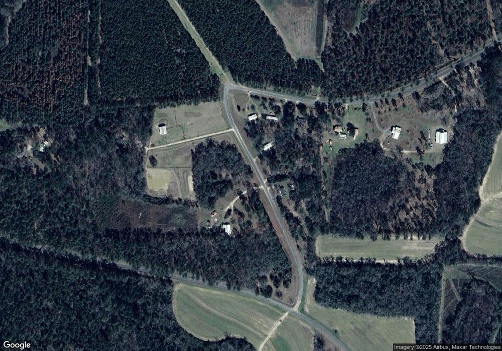
This home is located at 149 Hudson Rd, Cairo, GA 39827 and is currently estimated at $231,000. 149 Hudson Rd is a home located in Grady County.
Ownership History
Date
Name
Owned For
Owner Type
Purchase Details
Closed on
Aug 28, 2015
Sold by
Turner Rodney A & 3 Others
Bought by
Turner Anthony Lamar
Current Estimated Value
Home Financials for this Owner
Home Financials are based on the most recent Mortgage that was taken out on this home.
Original Mortgage
$114,588
Outstanding Balance
$89,291
Interest Rate
4.16%
Estimated Equity
$141,709
Purchase Details
Closed on
Jun 6, 2014
Sold by
Turner Billy A
Bought by
Turner Rodney A & 3 Others
Purchase Details
Closed on
Aug 31, 1976
Bought by
Turner Billy A
Create a Home Valuation Report for This Property
The Home Valuation Report is an in-depth analysis detailing your home's value as well as a comparison with similar homes in the area
Purchase History
| Date | Buyer | Sale Price | Title Company |
|---|---|---|---|
| Turner Anthony Lamar | -- | -- | |
| Turner Rodney A & 3 Others | -- | -- | |
| Turner Billy A | -- | -- |
Source: Public Records
Mortgage History
| Date | Status | Borrower | Loan Amount |
|---|---|---|---|
| Open | Turner Anthony Lamar | $114,588 |
Source: Public Records
Tax History
| Year | Tax Paid | Tax Assessment Tax Assessment Total Assessment is a certain percentage of the fair market value that is determined by local assessors to be the total taxable value of land and additions on the property. | Land | Improvement |
|---|---|---|---|---|
| 2025 | $363 | $14,867 | $14,867 | $0 |
| 2024 | $363 | $9,190 | $9,190 | $0 |
| 2023 | $284 | $9,228 | $9,228 | $0 |
| 2022 | $284 | $9,228 | $9,228 | $0 |
| 2021 | $285 | $9,228 | $9,228 | $0 |
| 2020 | $286 | $9,228 | $9,228 | $0 |
| 2019 | $286 | $9,228 | $9,228 | $0 |
| 2018 | $268 | $9,228 | $9,228 | $0 |
| 2017 | $256 | $9,228 | $9,228 | $0 |
| 2016 | $257 | $9,228 | $9,228 | $0 |
| 2015 | $1,531 | $55,639 | $16,920 | $38,719 |
| 2014 | $1,332 | $55,639 | $16,920 | $38,719 |
| 2013 | -- | $55,856 | $21,150 | $34,706 |
Source: Public Records
Map
Nearby Homes
Your Personal Tour Guide
Ask me questions while you tour the home.