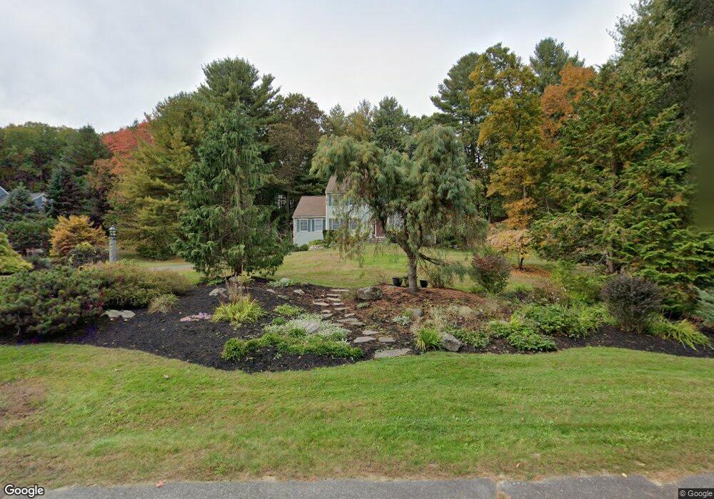
149 Joseph Rd Boxborough, MA 01719
Estimated Value: $1,008,389 - $1,629,000
4
Beds
3
Baths
2,580
Sq Ft
$464/Sq Ft
Est. Value
About This Home
This home is located at 149 Joseph Rd, Boxborough, MA 01719 and is currently estimated at $1,198,347, approximately $464 per square foot. 149 Joseph Rd is a home located in Middlesex County with nearby schools including Acton-Boxborough Regional High School.
Ownership History
Date
Name
Owned For
Owner Type
Purchase Details
Closed on
May 16, 1997
Sold by
Chou Yi-Chang and Huang Li-Mei
Bought by
Eckersley Timothy J and Eckersley Linda G
Current Estimated Value
Home Financials for this Owner
Home Financials are based on the most recent Mortgage that was taken out on this home.
Original Mortgage
$353,000
Outstanding Balance
$48,851
Interest Rate
8.12%
Mortgage Type
Purchase Money Mortgage
Estimated Equity
$1,149,496
Purchase Details
Closed on
Oct 21, 1994
Sold by
Northwest Structures
Bought by
Chang Chou Yi and Huang Li-Mei
Home Financials for this Owner
Home Financials are based on the most recent Mortgage that was taken out on this home.
Original Mortgage
$203,000
Interest Rate
8.49%
Mortgage Type
Purchase Money Mortgage
Create a Home Valuation Report for This Property
The Home Valuation Report is an in-depth analysis detailing your home's value as well as a comparison with similar homes in the area
Home Values in the Area
Average Home Value in this Area
Purchase History
| Date | Buyer | Sale Price | Title Company |
|---|---|---|---|
| Eckersley Timothy J | $353,000 | -- | |
| Chang Chou Yi | $294,775 | -- |
Source: Public Records
Mortgage History
| Date | Status | Borrower | Loan Amount |
|---|---|---|---|
| Open | Chang Chou Yi | $353,000 | |
| Previous Owner | Chang Chou Yi | $203,000 | |
| Closed | Chang Chou Yi | $35,300 |
Source: Public Records
Tax History
| Year | Tax Paid | Tax Assessment Tax Assessment Total Assessment is a certain percentage of the fair market value that is determined by local assessors to be the total taxable value of land and additions on the property. | Land | Improvement |
|---|---|---|---|---|
| 2025 | $14,621 | $965,700 | $293,700 | $672,000 |
| 2024 | $13,522 | $902,100 | $282,300 | $619,800 |
| 2023 | $12,872 | $829,400 | $254,300 | $575,100 |
| 2022 | $12,260 | $703,800 | $254,300 | $449,500 |
| 2020 | $11,069 | $662,000 | $254,300 | $407,700 |
| 2019 | $10,870 | $662,000 | $254,300 | $407,700 |
| 2018 | $11,531 | $625,500 | $242,400 | $383,100 |
| 2017 | $10,291 | $612,200 | $244,500 | $367,700 |
| 2016 | $9,764 | $596,800 | $244,500 | $352,300 |
| 2015 | $9,838 | $590,900 | $244,100 | $346,800 |
| 2014 | $9,905 | $559,900 | $241,600 | $318,300 |
Source: Public Records
Map
Nearby Homes
- 79 Old Orchard Ln
- 959 Hill Rd
- 4 Littlefield Rd
- 20 Lyons Ln Unit 20
- 77 Wheeler Dr Unit 77
- 36 Leonard Rd
- 631 Massachusetts Ave Unit 631
- 60 Nashoba Rd
- 235 Arlington St
- 5 Perkins Ln
- 40 Fifers Ln
- 92 Willow St Unit 3
- 92 Willow St Unit 2
- 90 Willow St Unit 1
- 50 Spencer Rd Unit 12L
- 15 Spencer Rd Unit 12E
- 20 Joseph Reed Ln
- 220 Swanson Rd Unit 605
- 220 Swanson Rd Unit 606
- 220 Swanson Rd Unit 604
Your Personal Tour Guide
Ask me questions while you tour the home.